The Rectory, havering, Greater London, RM14
Emplacement : London Borough of Havering
Coordonnées GPS : 51.55573,0.24726
Dernière mise à jour : 24 novembre 2025 à 10:14
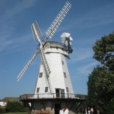
Upminster Windmill
293 m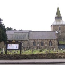
Church of St Laurence, Upminster
96 m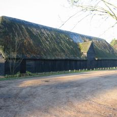
Upminster Tithe Barn Museum of Nostalgia
1.4 km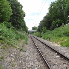
Hornchurch Cutting
1.4 km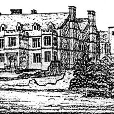
Cranham Hall
1.4 km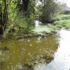
Cranham Marsh
1.2 km
Upminster Hall
1.4 km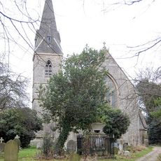
Church of All Saints, Cranham
1.4 km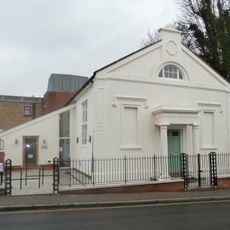
Upminster Old Chapel
293 m
Bridge In Parklands Park
1.4 km
The Old Cottage
1.5 km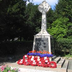
Upminster War Memorial
98 m
Dury Falls
1.3 km
265 And 267, St Marys Lane
645 m
Tadlows
1 km
201, Corbets Tey Road
756 m
The Old Anchor
1.5 km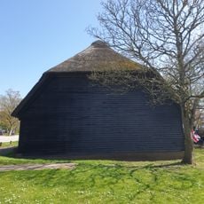
Medieval grange barn, 228m south-east of Upminster Court
1.4 km
High House Farmhouse
1.5 km
Milestone, Corbet's Tey Road
808 m
Footbridge To Rear Of Numbers 52 And 54
1.2 km
Railed Tomb To West Of The Church Of All Saints
1.3 km
The Clock House
545 m
K6 Telephone Kiosk Outside The Clock House
544 m
Garden Walls At Cranham Hall
1.4 km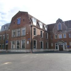
Sacred Heart of Mary Girls' School
225 m
Upminster Golf and Bowling Club
1.1 km
Emerson Court
1.4 kmAvis
Vous avez visité ce lieu ? Touchez les étoiles pour le noter et partager votre expérience ou vos photos avec la communauté ! Essayez maintenant ! Vous pouvez annuler à tout moment.
Trouvez des trésors cachés à chaque coin de rue !
Des petits cafés pittoresques aux points de vue planqués, fuyez la foule et dénichez les lieux qui vous ressemblent vraiment. Notre app vous facilite la vie : recherche vocale, filtres malins, itinéraires optimisés et bons plans partagés par des voyageurs du monde entier. Téléchargez vite pour vivre l'aventure en version mobile !

Une approche inédite de la découverte touristique❞
— Le Figaro
Tous les lieux qui valent la peine d'être explorés❞
— France Info
Une excursion sur mesure en quelques clics❞
— 20 Minutes