
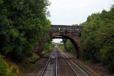
Roman Road Bridge, pont situé au Royaume-Uni
Emplacement : Stratton St Margaret
Coordonnées GPS : 51.57722,-1.73842
Dernière mise à jour : 5 mars 2025 à 05:55
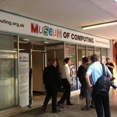
Museum of Computing at Swindon
3.6 km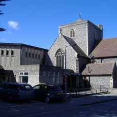
Holy Rood Church, Swindon
3.5 km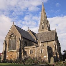
Christ Church
3.6 km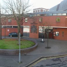
Swindon Law Courts
3.5 km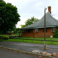
The Crumpled Horn
2.6 km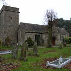
Church of St Margaret
635 m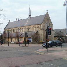
Church of St Barnabas
2.8 km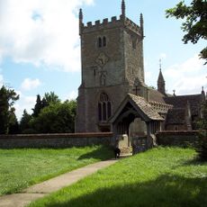
Church of St Mary Magdalen
2 km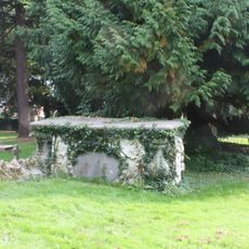
Churchyard Tomb Of Susanah Nicholas Van Acker Of Erith
644 m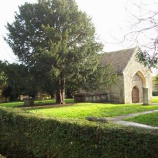
Remains of Holy Rood Church, The Lawn, Old Town
3.6 km
Empire Cinema
1.5 km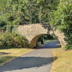
Canal Bridge, 300 Metres North East Of The County, Or Magic Roundabout
2.5 km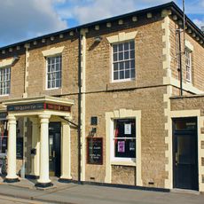
The Queen's Tap
3.5 km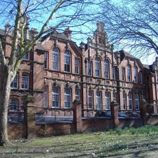
Clarence Street School
3.5 km
19, Green Road
2.2 km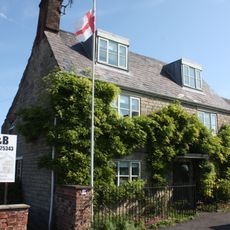
73, Swindon Road
925 m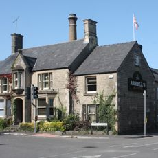
Arkells Brewery House Brewery House
2.4 km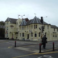
The Great Western Hotel
3.4 km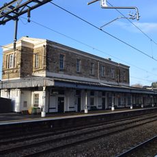
Stone Building On Island Platform At Swindon Railway Station (MLN1/77 16)
3.5 km
Swindon Civic Offices
3.3 km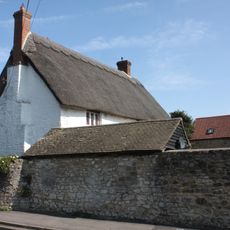
41, Green Road
2 km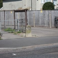
Milestone Opposite St Philip's Road
2.3 km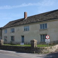
21, Green Road
2.1 km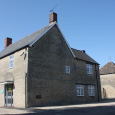
Pigeon House To Rear Of Premises Of Coventry Drafting Company
1.1 km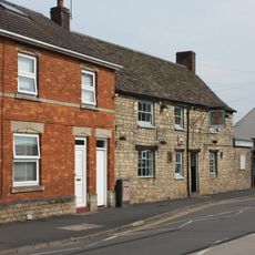
The Wheatsheaf
742 m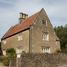
Church Farmhouse
646 m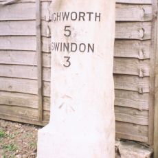
Milestone, Lower Stratton, outside No. 161 Swindon Road
1 km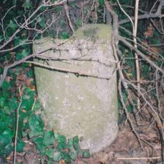
Milepost, road beside South Marston Trading Estate
2.9 kmVous avez visité ce lieu ? Touchez les étoiles pour le noter et partager votre expérience ou vos photos avec la communauté ! Essayez maintenant ! Vous pouvez annuler à tout moment.
Trouvez des trésors cachés à chaque coin de rue !
Des petits cafés pittoresques aux points de vue planqués, fuyez la foule et dénichez les lieux qui vous ressemblent vraiment. Notre app vous facilite la vie : recherche vocale, filtres malins, itinéraires optimisés et bons plans partagés par des voyageurs du monde entier. Téléchargez vite pour vivre l'aventure en version mobile !

Une approche inédite de la découverte touristique❞
— Le Figaro
Tous les lieux qui valent la peine d'être explorés❞
— France Info
Une excursion sur mesure en quelques clics❞
— 20 Minutes