
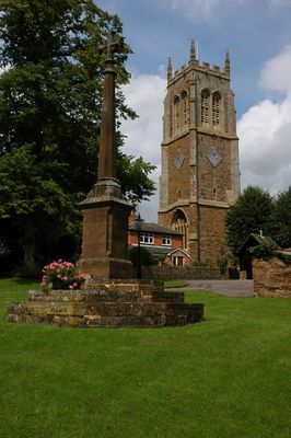
Lower Brailes War Memorial, war memorial in Brailes, Stratford-on-Avon, Warwickshire, UK
Emplacement : Brailes
Coordonnées GPS : 52.05080,-1.54217
Dernière mise à jour : 2 mars 2025 à 23:37
Compton Wynyates
3 km
Whichford House
4.6 km
Church of St John the Baptist
3.5 km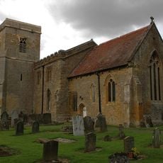
St Thomas a Becket Church
2.4 km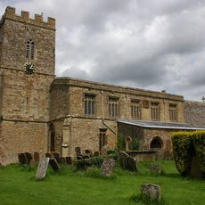
Church of St Michael
4.6 km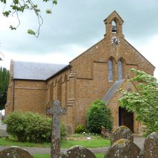
Church of Holy Trinity
4.4 km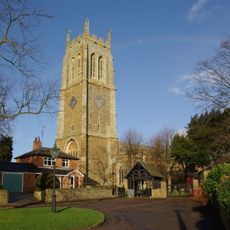
Church of St George
67 m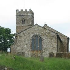
Church of St Anne
4 km
Parish Church (dedication Unknown)
3.1 km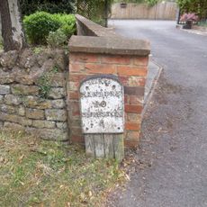
Milestone Approximately 300 Metres South Of Church
21 m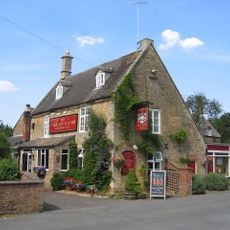
Cherington Arms Public House
3.3 km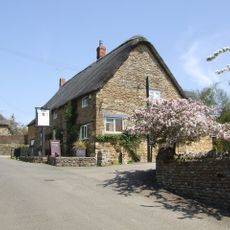
The Wykham Arms Public House
4 km
Pond Cottage
3.8 km
The Old Red Lion
3.7 km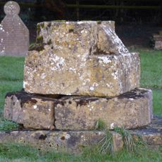
Church of St Martin, Base Of Medieval Cross Approximately 15 Metres South Of Nave
5 km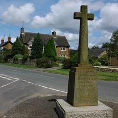
Whichford War Memorial
4.6 km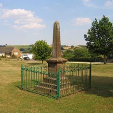
Sutton-under-Brailes War Memorial
2.4 km
Carters Yard
4 km
Famington Farmhouse
3.3 km
Manor House
4 km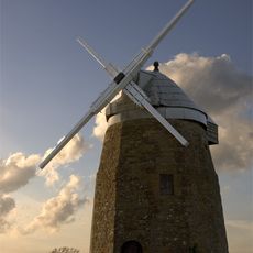
Windmill Hill Windmill
3.8 km
Tysoe Manor And Attached Wall
4.9 km
Sibford School
4.6 km
Sibford Quaker Meeting House
4 km
House 3 Metres South Of Number 1 Old Tree Cottages (Not Included)
5 km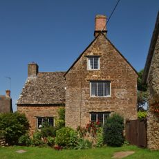
Stickleys House
3.8 km
Milestone Approximately 100 Metres South Of Fanthill Farmhouse
1.3 km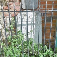
Milestone, High Street at SP3153039224
49 mVous avez visité ce lieu ? Touchez les étoiles pour le noter et partager votre expérience ou vos photos avec la communauté ! Essayez maintenant ! Vous pouvez annuler à tout moment.
Trouvez des trésors cachés à chaque coin de rue !
Des petits cafés pittoresques aux points de vue planqués, fuyez la foule et dénichez les lieux qui vous ressemblent vraiment. Notre app vous facilite la vie : recherche vocale, filtres malins, itinéraires optimisés et bons plans partagés par des voyageurs du monde entier. Téléchargez vite pour vivre l'aventure en version mobile !

Une approche inédite de la découverte touristique❞
— Le Figaro
Tous les lieux qui valent la peine d'être explorés❞
— France Info
Une excursion sur mesure en quelques clics❞
— 20 Minutes