
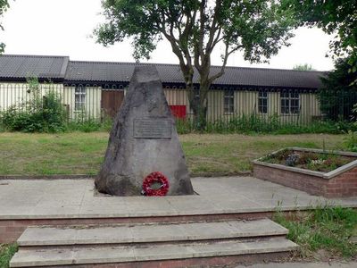
Stanhope Drive War Memorial, war memorial in Horsforth, West Yorkshire
Emplacement : Horsforth
Création : 1929
Fabriqué à partir de : stone
Coordonnées GPS : 53.83764,-1.63241
Dernière mise à jour : 7 mars 2025 à 08:47
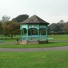
Horsforth Hall Park
1 km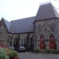
Grove Methodist Church
569 m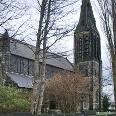
Church of St Margaret
727 m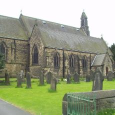
Church of St James
558 m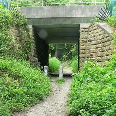
Daffy Wood
956 m
Horsforth Library
438 m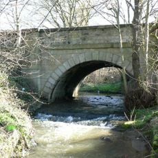
Bridge Over Moseley Beck
1 km
Station House With Horsforth Pottery And Barn (Both Attached)
1.1 km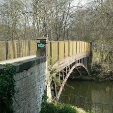
Newlay Bridge
1.1 km
2,6 And 8, Bachelor Lane
483 m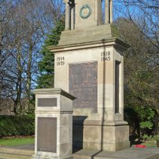
Horsforth War Memorial
938 m
Tinshill and Cookridge Social Club
984 m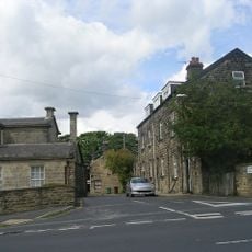
Upper Bank House
667 m
Former Corn Mill Building At Dickinson's Auto Spares, Corn Mill Fold
1 km
Croft House
473 m
Grove Manse
595 m
79,81 And 83, Town Street
489 m
Troy Hill
902 m
K6 Telephone Kiosk Adjacent To The Old Kings Arms Public House
687 m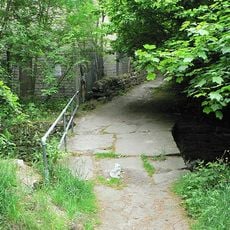
Clapper Bridge
778 m
Toll House To Iron Bridge
1.1 km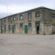
Stable Block To Former Horsforth Hall
985 m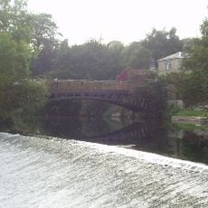
Weir And Retaining Walls On River Aire
1.1 km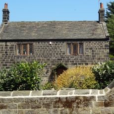
4, Hall Lane
756 m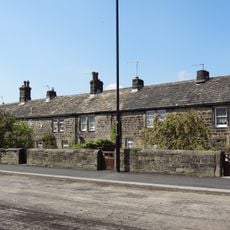
123-135, Town Street
437 m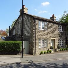
6, Hall Lane
778 m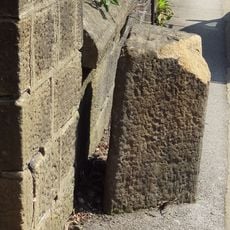
Gritstone pillar with three cup marks in the north pavement of the A65 at Horsforth, 440m south east of the roundabout at Low Fold
1 km
Milestone, New Road Side, Horsforth
1.1 kmVous avez visité ce lieu ? Touchez les étoiles pour le noter et partager votre expérience ou vos photos avec la communauté ! Essayez maintenant ! Vous pouvez annuler à tout moment.
Trouvez des trésors cachés à chaque coin de rue !
Des petits cafés pittoresques aux points de vue planqués, fuyez la foule et dénichez les lieux qui vous ressemblent vraiment. Notre app vous facilite la vie : recherche vocale, filtres malins, itinéraires optimisés et bons plans partagés par des voyageurs du monde entier. Téléchargez vite pour vivre l'aventure en version mobile !

Une approche inédite de la découverte touristique❞
— Le Figaro
Tous les lieux qui valent la peine d'être explorés❞
— France Info
Une excursion sur mesure en quelques clics❞
— 20 Minutes