
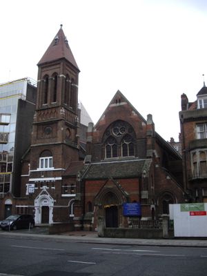
St Mark's Church, church on Old Marylebone Road, London
Emplacement : City of Westminster
Coordonnées GPS : 51.51838,-0.16658
Dernière mise à jour : 9 mars 2025 à 16:12
Lisson Gallery
333 m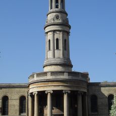
St Mary's Church, Bryanston Square
368 m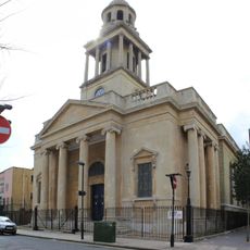
Christ Church
366 m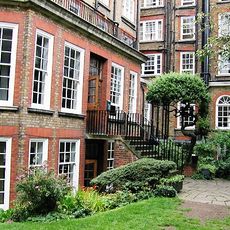
Nutford House, London
286 m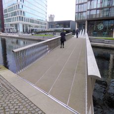
Merchant Square Footbridge
370 m
Wilson House
266 m
Duke of Wellington
369 m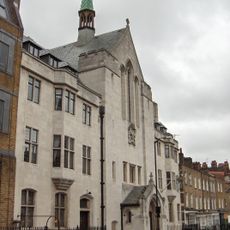
Swedish Church
231 m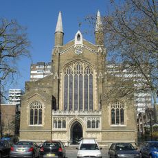
Church of St John the Evangelist
350 m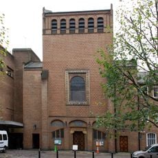
Roman Catholic Church of Our Lady of the Rosary and Attached Presbytery
97 m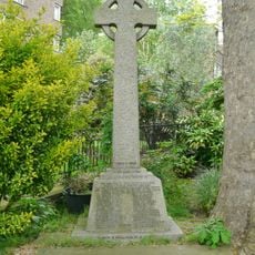
War memorial at the Church of St John the Evangelist
362 m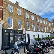
87-97, York Street W1
231 m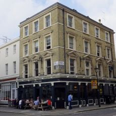
Royal Oak Public House
341 m
78-106, Sussex Gardens W2
375 m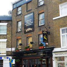
Harcourt Arms
214 m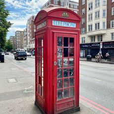
K2 Telephone Kiosk Outside Number 138
220 m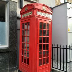
K2 Telephone Kiosks Outside Number 56 The Brazen Head Public House
336 m
100 And 102, York Street W1
245 m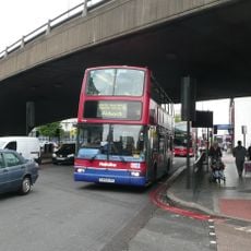
Marylebone Flyover
302 m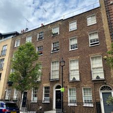
9-11, Nutford Place W1
271 m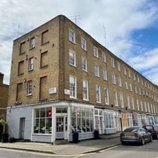
65-83, York Street W1
307 m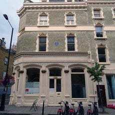
Walmer House
312 m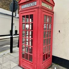
K2 Telephone Kiosk Outside Flank Of Number 161A Seymour Place
257 m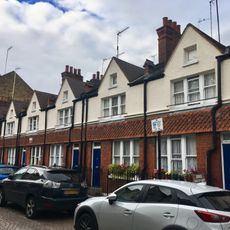
5-11, Ranston Street
398 m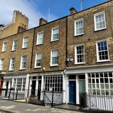
2-5, Harcourt Street W1
230 m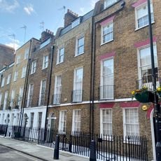
26-34, Wyndham Street W1
396 m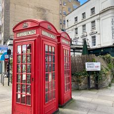
K2 Telephone Kiosk, The Western Of Pair At South Side Of Junction With Chapel Street
174 m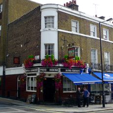
The Royal Exchange
219 mVous avez visité ce lieu ? Touchez les étoiles pour le noter et partager votre expérience ou vos photos avec la communauté ! Essayez maintenant ! Vous pouvez annuler à tout moment.
Trouvez des trésors cachés à chaque coin de rue !
Des petits cafés pittoresques aux points de vue planqués, fuyez la foule et dénichez les lieux qui vous ressemblent vraiment. Notre app vous facilite la vie : recherche vocale, filtres malins, itinéraires optimisés et bons plans partagés par des voyageurs du monde entier. Téléchargez vite pour vivre l'aventure en version mobile !

Une approche inédite de la découverte touristique❞
— Le Figaro
Tous les lieux qui valent la peine d'être explorés❞
— France Info
Une excursion sur mesure en quelques clics❞
— 20 Minutes