
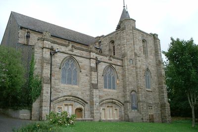
Church of St Mary, church building in City of Plymouth, Devon, UK
Emplacement : City of Plymouth
Coordonnées GPS : 50.38482,-4.10558
Dernière mise à jour : 10 mars 2025 à 13:05

Saltram House
1.7 km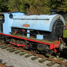
Plym Valley Railway
2 km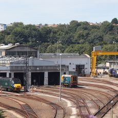
Laira Traction Maintenance Depot
372 m
Fort Austin
1.6 km
Laira Bridge
1.8 km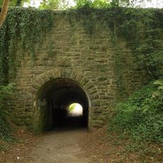
Efford Fort
1.1 km
Mutley Baptist Church
2.1 km
Freedom Fields
1.7 km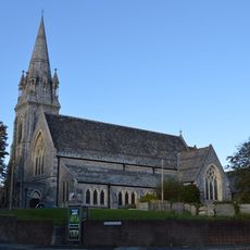
St Jude's Church
2 km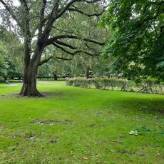
Beaumont Park
2.2 km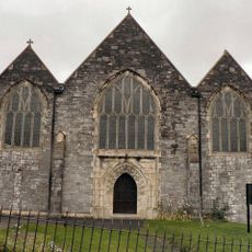
Church of St Simon
1.1 km
St Matthias' Church
2.2 km
Church of St Edward King of the West Saxons
1.9 km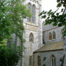
Church of Emmanuel
1.7 km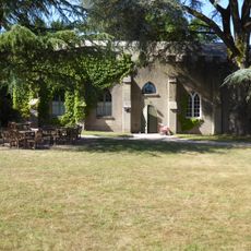
Chapel At Saltram House
1.6 km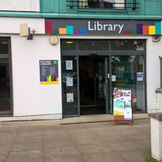
Efford Library
504 m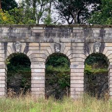
Amphitheatre In Grounds Of Saltram House
994 m
Central Block Of Greenbank Prison (Formerly Longfield House)
1.9 km
Gate Piers Approximately 550 Metres South East Of Saltram House
2.2 km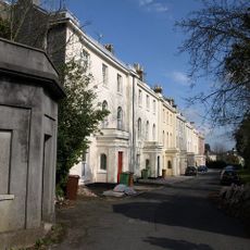
Lodges At Lipson Terrace
1.5 km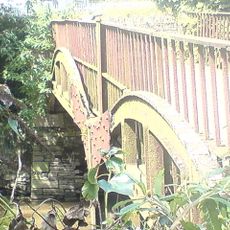
Lee Moor Tramway Bridge
1.8 km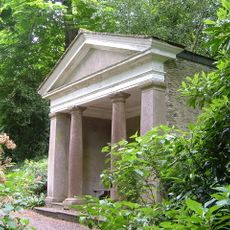
Garden Temple (known As Fannys Bower) In Grounds Of Saltram House
1.6 km
Orangery at Saltram House
1.5 km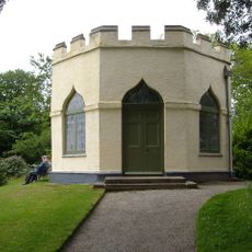
Gardenhouse At Saltram House
1.2 km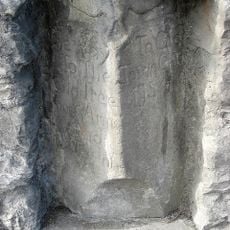
Direction Stone In Wall At End Of Cheltenham Place
2 km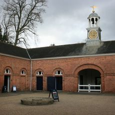
Stable Block At Saltram House
1.8 km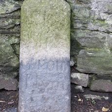
Milestone, top of Lipson Road, opp. Queens Road
1.5 km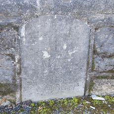
Milestone, Laira Bridge Road, by No. 56 and 58 flats, opp. the rear of Prince Rock Primary School
1.7 kmVous avez visité ce lieu ? Touchez les étoiles pour le noter et partager votre expérience ou vos photos avec la communauté ! Essayez maintenant ! Vous pouvez annuler à tout moment.
Trouvez des trésors cachés à chaque coin de rue !
Des petits cafés pittoresques aux points de vue planqués, fuyez la foule et dénichez les lieux qui vous ressemblent vraiment. Notre app vous facilite la vie : recherche vocale, filtres malins, itinéraires optimisés et bons plans partagés par des voyageurs du monde entier. Téléchargez vite pour vivre l'aventure en version mobile !

Une approche inédite de la découverte touristique❞
— Le Figaro
Tous les lieux qui valent la peine d'être explorés❞
— France Info
Une excursion sur mesure en quelques clics❞
— 20 Minutes