
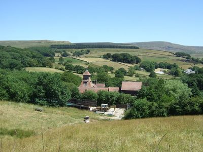
Laneside Farm, Grade II listed farm in Glossop, High Peak, Derbyshire, UK
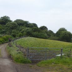
Emplacement : High Peak
Coordonnées GPS : 53.45457,-1.94408
Dernière mise à jour : 2 mars 2025 à 21:11
Mouselow Castle
1 km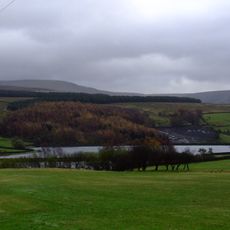
Swineshaw Reservoir
654 m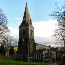
Church of All Saints
591 m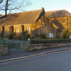
St. Luke's Church, Glossop
1 km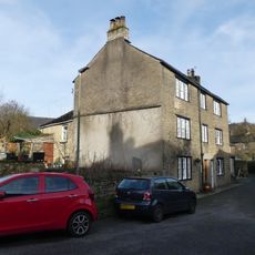
22 and 22A, Church Street South
631 m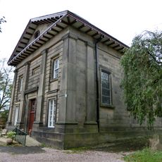
Roman Catholic Church of All Saints
485 m
32, Church Street South
606 m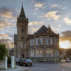
Victoria Hall and Public Library
976 m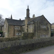
16 and 18, Church Street South
645 m
34, Church Street South
600 m
36, Church Street South
587 m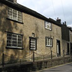
56, Church Street
541 m
14, Church Street South
656 m
Premises occupied by Helme Footwear
967 m
Bulls Head Public House
543 m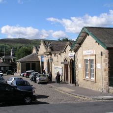
Glossop Railway Station and Co-Op building
1.2 km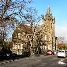
Glossop Library
972 m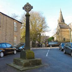
The Market Cross
638 m
Conservative Club
1.2 km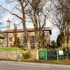
Gates and walls to Roman Catholic Church of All Saints
532 m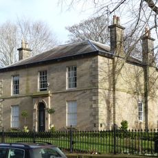
Ryecroft
819 m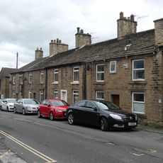
3-9, Ellison Street
1.2 km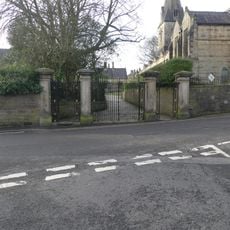
Gatepiers and gates to Church of All Saints
623 m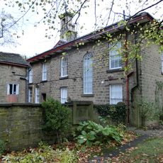
Royle House
490 m
The Adult Education Centre
1 km
Duke of Norfolk's Primary School and Schoolhouse
566 m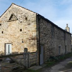
Former stables and living accommodation at NGR SK 0424 9467
773 m
Milestone, Almans Heath Farm
536 mVous avez visité ce lieu ? Touchez les étoiles pour le noter et partager votre expérience ou vos photos avec la communauté ! Essayez maintenant ! Vous pouvez annuler à tout moment.
Trouvez des trésors cachés à chaque coin de rue !
Des petits cafés pittoresques aux points de vue planqués, fuyez la foule et dénichez les lieux qui vous ressemblent vraiment. Notre app vous facilite la vie : recherche vocale, filtres malins, itinéraires optimisés et bons plans partagés par des voyageurs du monde entier. Téléchargez vite pour vivre l'aventure en version mobile !

Une approche inédite de la découverte touristique❞
— Le Figaro
Tous les lieux qui valent la peine d'être explorés❞
— France Info
Une excursion sur mesure en quelques clics❞
— 20 Minutes