
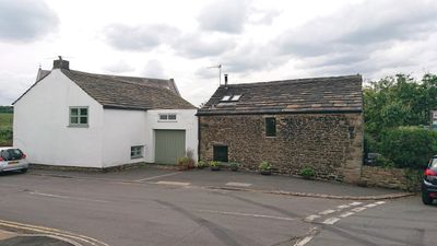
Padfield, house in High Peak, Derbyshire, UK
Emplacement : High Peak
Création : 1669
Coordonnées GPS : 53.46340,-1.95649
Dernière mise à jour : 5 mars 2025 à 11:11
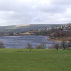
Bottoms Reservoir
691 m
Mouselow Castle
809 m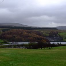
Swineshaw Reservoir
1.4 km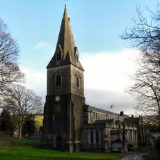
Church of All Saints
1.9 km
Arnfield
1.8 km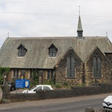
St Andrew
846 m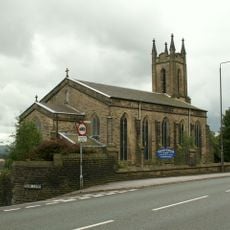
Christ Church
1.2 km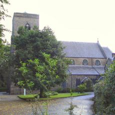
Roman Catholic Church of St Charles Borromeo and Attached Presbytery
1.4 km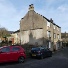
22 and 22A, Church Street South
1.9 km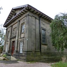
Roman Catholic Church of All Saints
1.7 km
32, Church Street South
1.9 km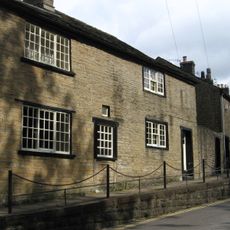
56, Church Street
1.8 km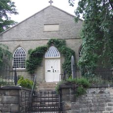
Ebenezer Chapel
1.2 km
34, Church Street South
1.9 km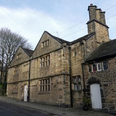
36, Church Street South
1.9 km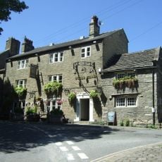
Bulls Head Public House
1.8 km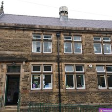
Hadfield Library
686 m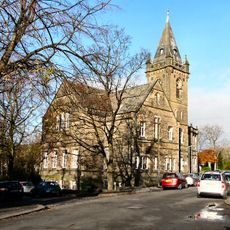
Glossop Library
1.9 km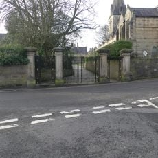
Gatepiers and gates to Church of All Saints
1.9 km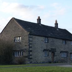
Old Hall
910 m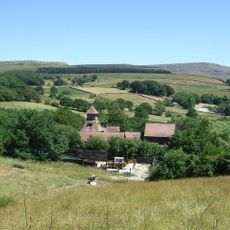
Laneside Farm
1.3 km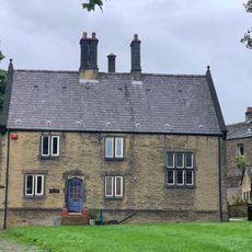
Duke of Norfolk's Primary School and Schoolhouse
1.8 km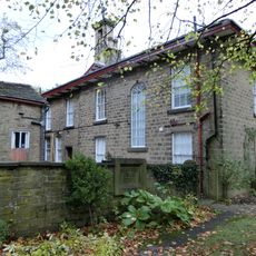
Royle House
1.7 km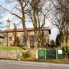
Gates and walls to Roman Catholic Church of All Saints
1.7 km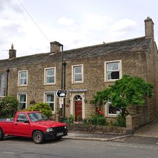
Lower Cross Farm (Number 107/107A) And Attached Barn
46 m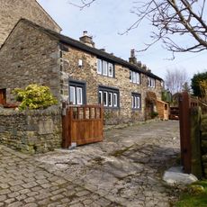
The Old Workhouse
1.3 km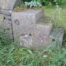
Milestone, Almans Heath Farm
927 m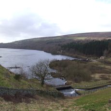
Valehouse Reservoir
1.5 kmVous avez visité ce lieu ? Touchez les étoiles pour le noter et partager votre expérience ou vos photos avec la communauté ! Essayez maintenant ! Vous pouvez annuler à tout moment.
Trouvez des trésors cachés à chaque coin de rue !
Des petits cafés pittoresques aux points de vue planqués, fuyez la foule et dénichez les lieux qui vous ressemblent vraiment. Notre app vous facilite la vie : recherche vocale, filtres malins, itinéraires optimisés et bons plans partagés par des voyageurs du monde entier. Téléchargez vite pour vivre l'aventure en version mobile !

Une approche inédite de la découverte touristique❞
— Le Figaro
Tous les lieux qui valent la peine d'être explorés❞
— France Info
Une excursion sur mesure en quelques clics❞
— 20 Minutes