
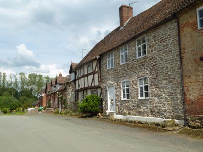
The Village, architectural structure in Hopton Wafers, Shropshire, UK
Emplacement : Hopton Wafers
Coordonnées GPS : 52.38524,-2.53391
Dernière mise à jour : 25 mars 2025 à 15:43

St Mary's Church, Cleobury Mortimer
3.7 km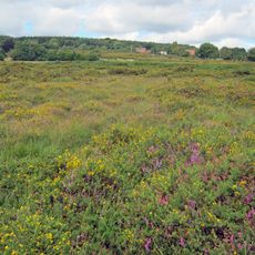
Catherton Common
1.9 km
Church of St George
3.7 km
Church of St Peter
3.5 km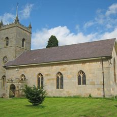
Church of St Michael
56 m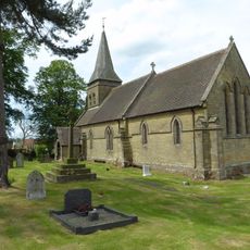
Church of St Mary
3.4 km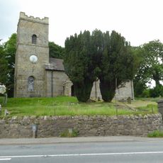
Church of St John
2.2 km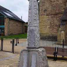
Cleobury Mortimer War Memorial
3.7 km
18, Church Street
3.6 km
Hopton Court Bridge
256 m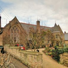
Old School
3.6 km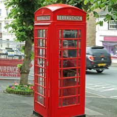
K6 Telephone Kiosk 8 Metres South Of Numbers 30 And 31
3.6 km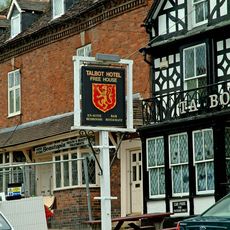
Mounting Block In Front Of Talbot Hotel
3.6 km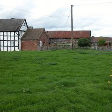
Lower Langley Farmhouse
3.7 km
29, High Street
3.6 km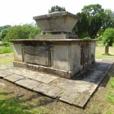
Tomb Of Thomas Botfield And Railings 35 Metres South Of Church Of St Michael
39 m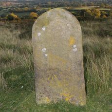
Milestone At Ngr So 6123 7598
2.6 km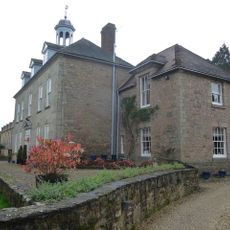
Lacon Childe School
3.7 km
11 And 12, High Street
3.5 km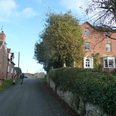
The Manor
27 m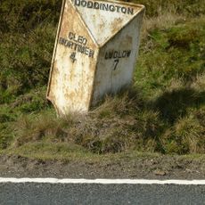
Milepost At Ngr So 6123 7598
2.6 km
17, High Street
3.6 km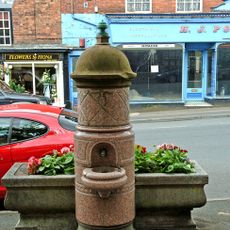
Horse Trough And Drinking Fountain
3.6 km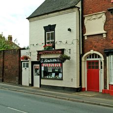
14, High Street
3.5 km
23, High Street
3.6 km
18, High Street
3.6 km
16, High Street
3.6 km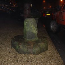
Wayside cross on High Street, 140m south west of St Mary's Church
3.6 kmVous avez visité ce lieu ? Touchez les étoiles pour le noter et partager votre expérience ou vos photos avec la communauté ! Essayez maintenant ! Vous pouvez annuler à tout moment.
Trouvez des trésors cachés à chaque coin de rue !
Des petits cafés pittoresques aux points de vue planqués, fuyez la foule et dénichez les lieux qui vous ressemblent vraiment. Notre app vous facilite la vie : recherche vocale, filtres malins, itinéraires optimisés et bons plans partagés par des voyageurs du monde entier. Téléchargez vite pour vivre l'aventure en version mobile !

Une approche inédite de la découverte touristique❞
— Le Figaro
Tous les lieux qui valent la peine d'être explorés❞
— France Info
Une excursion sur mesure en quelques clics❞
— 20 Minutes