
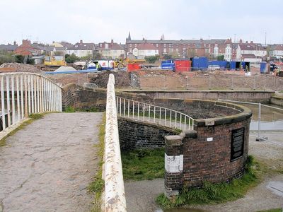
Iron Roving Bridge, pont situé au Royaume-Uni
Emplacement : Cheshire West and Chester
Création : 1800
Coordonnées GPS : 53.19472,-2.89968
Dernière mise à jour : 3 mars 2025 à 14:07
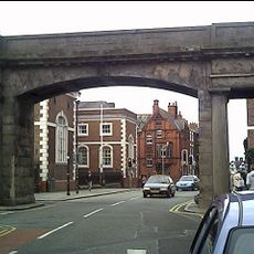
Northgate
433 m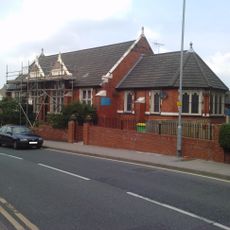
St Thomas of Canterbury Church, Chester
390 m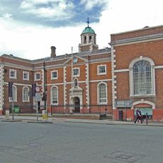
Bleucoat School
401 m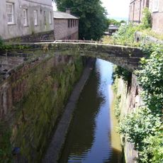
Pont des Soupirs
408 m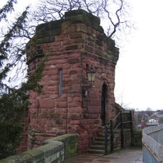
Bonewaldesthorne's Tower
231 m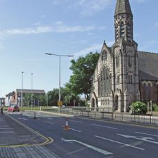
Northgate Church, Chester
360 m
Morgan's Mount
299 m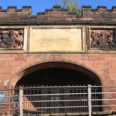
Pemberton's Parlour
252 m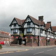
George and Dragon Public House and signpost
408 m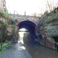
Northgate Bridge
428 m
Number 73 Northgate Street
446 m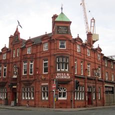
Bull and Stirrup Hotel
429 m
Diocesan House
177 m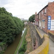
1 and 2, City Walls
460 m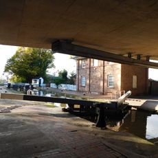
Northgate Locks
245 m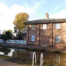
Northgate Lock Keepers Cottage
243 m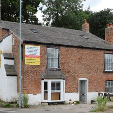
5, Sealand Road
358 m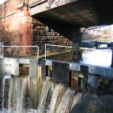
Bridge Lock on canal link from River Dee to Chester Basin
153 m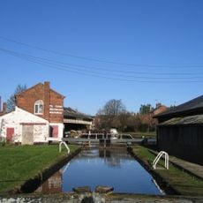
Graving Lock on canal link to River Dee
30 m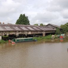
Taylor's Boatyard
60 m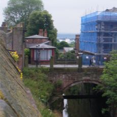
Northgate House
409 m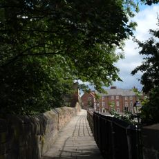
City Wall From Bonewaldesthorne Tower To Pembertons Parlour
243 m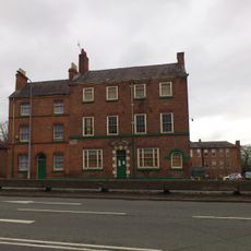
5 And 7, St Martins Way
431 m
Part Of City Wall Between Morgans Mount And Northgate
358 m
Kings Buildings
357 m
Part Of City Wall From Pembertons Parlour To St Martins Gate (not Included)
259 m
Part Of City Wall From The Watergate To Bonewaldesthorne Tower
417 m
Vous avez visité ce lieu ? Touchez les étoiles pour le noter et partager votre expérience ou vos photos avec la communauté ! Essayez maintenant ! Vous pouvez annuler à tout moment.
Trouvez des trésors cachés à chaque coin de rue !
Des petits cafés pittoresques aux points de vue planqués, fuyez la foule et dénichez les lieux qui vous ressemblent vraiment. Notre app vous facilite la vie : recherche vocale, filtres malins, itinéraires optimisés et bons plans partagés par des voyageurs du monde entier. Téléchargez vite pour vivre l'aventure en version mobile !

Une approche inédite de la découverte touristique❞
— Le Figaro
Tous les lieux qui valent la peine d'être explorés❞
— France Info
Une excursion sur mesure en quelques clics❞
— 20 Minutes