
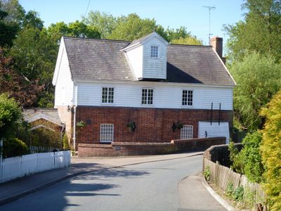
Water Mill, mill in Kedington, St. Edmundsbury, Suffolk, UK
Emplacement : Kedington
Coordonnées GPS : 52.09448,0.48643
Dernière mise à jour : 3 mars 2025 à 03:26
Cotton Hall
1.4 km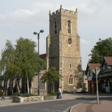
Church of St Mary
3.6 km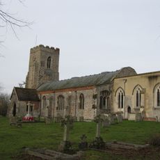
Church of St Peter and St Paul, Kedington
122 m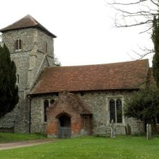
Parish Church of St Mary the Virgin
3.3 km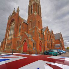
Old Independent Church
3.4 km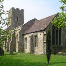
Church of All Saints
1.9 km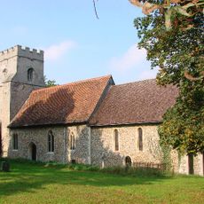
Church of St Mary
2.1 km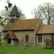
Church of St Mary
1.6 km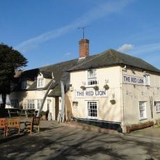
Red Lion Inn
1.8 km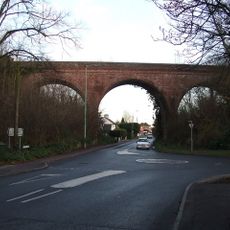
The Sturmer Arches
3.3 km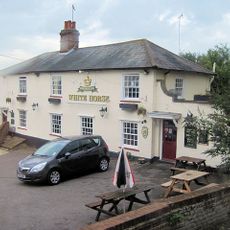
The White Horse Inn
390 m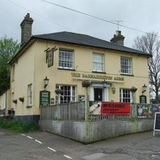
The Barnardiston Arms Public House
483 m
White House
446 m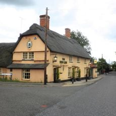
The Red Lion Public House
3 km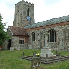
Kedington War Memorial
122 m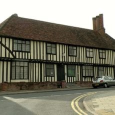
Anne Of Cleves House
3.4 km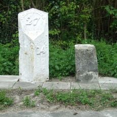
Milestone and milepost standing on the south side of Rowley Hill (A1017), around 60m south-east of its junction with Church Walk
3.1 km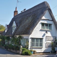
The Dell
357 m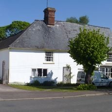
Bridge House
439 m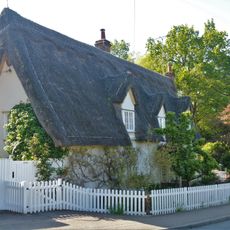
House At Water Mill
29 m
Premises Approximately 70 Yards South-East Of Barton Place
455 m
Mill House
1.8 km
Suffolk House
372 m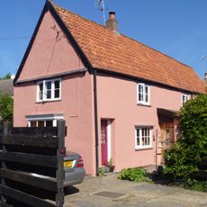
26 And 28, School Road
284 m
The Old Forge
322 m
Silvertails And Shameen
592 m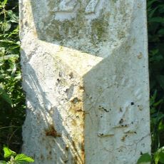
Milestone, Rowley Hill, W of jct with Church Croft
3 km
Milepost, Rowley Hill, W of jct with Church Croft
3 kmVous avez visité ce lieu ? Touchez les étoiles pour le noter et partager votre expérience ou vos photos avec la communauté ! Essayez maintenant ! Vous pouvez annuler à tout moment.
Trouvez des trésors cachés à chaque coin de rue !
Des petits cafés pittoresques aux points de vue planqués, fuyez la foule et dénichez les lieux qui vous ressemblent vraiment. Notre app vous facilite la vie : recherche vocale, filtres malins, itinéraires optimisés et bons plans partagés par des voyageurs du monde entier. Téléchargez vite pour vivre l'aventure en version mobile !

Une approche inédite de la découverte touristique❞
— Le Figaro
Tous les lieux qui valent la peine d'être explorés❞
— France Info
Une excursion sur mesure en quelques clics❞
— 20 Minutes