
72, Eleanor Road, building in Norwich, Norfolk, UK
Emplacement : Norwich
Coordonnées GPS : 52.61806,1.29297
Dernière mise à jour : 25 mars 2025 à 08:39
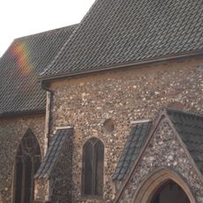
Church of St Julian, Norwich
910 m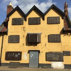
The Ferry Boat Inn
879 m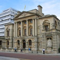
Surrey House
798 m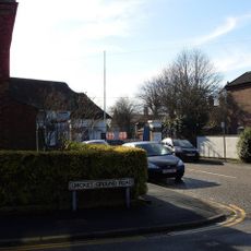
County Ground, Lakenham
614 m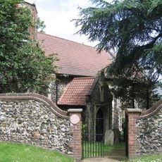
St Etheldreda's Church, Norwich
863 m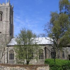
St John the Theologian's Church
615 m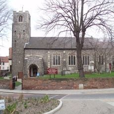
All Saints Church
890 m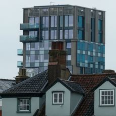
Westlegate Tower
905 m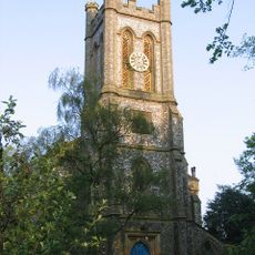
Church of St Mark
425 m
Saint Alban's Church
227 m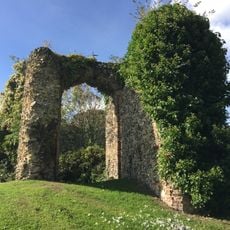
Remains Of St Peter Southgate Church
853 m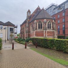
Norfolk And Norwich Hospital Chapel
683 m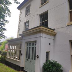
7, Launceston Terrace
601 m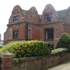
Manor House
747 m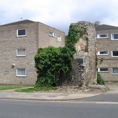
Remains Of The Church Of St Bartholomew
709 m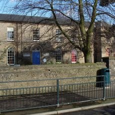
Lakenham First School
374 m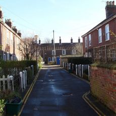
1-14, Jubilee Terrace
504 m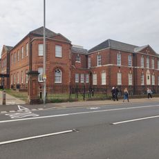
Norfolk And Norwich Hospital X-Ray And Radiotherapy Departments And Former Out-Patients' Accommodation
635 m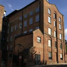
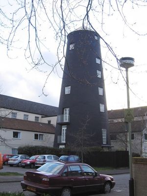
City Flour Mills
905 m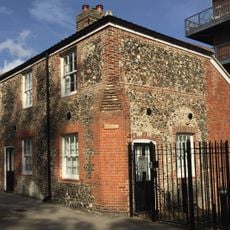
213, King Street
882 m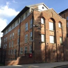
237, King Street
902 m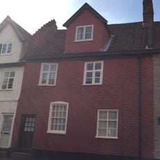
174, King Street
904 m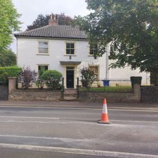
Forecourt Wall And Railings To Number 2
558 m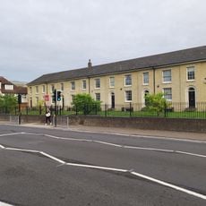
Numbers 54 To 66 Including Attached Area Railings
566 m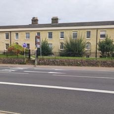
68-78, St Stephen's Road
551 m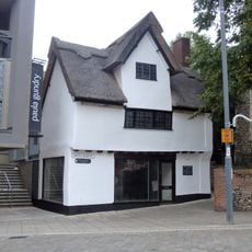
20, Westlegate
895 m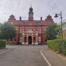
Norfolk And Norwich Hospital (Administrative Block And Main Hall)
634 m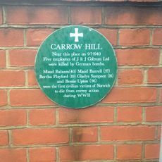
Carrow Hill WWII Memorial Plaque, Norwich
879 mVous avez visité ce lieu ? Touchez les étoiles pour le noter et partager votre expérience ou vos photos avec la communauté ! Essayez maintenant ! Vous pouvez annuler à tout moment.
Trouvez des trésors cachés à chaque coin de rue !
Des petits cafés pittoresques aux points de vue planqués, fuyez la foule et dénichez les lieux qui vous ressemblent vraiment. Notre app vous facilite la vie : recherche vocale, filtres malins, itinéraires optimisés et bons plans partagés par des voyageurs du monde entier. Téléchargez vite pour vivre l'aventure en version mobile !

Une approche inédite de la découverte touristique❞
— Le Figaro
Tous les lieux qui valent la peine d'être explorés❞
— France Info
Une excursion sur mesure en quelques clics❞
— 20 Minutes