
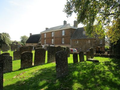
Priestfield, building in Hook Norton, Cherwell, Oxfordshire, UK
Emplacement : Hook Norton
Coordonnées GPS : 51.99511,-1.48426
Dernière mise à jour : 2 mars 2025 à 23:43

Swerford Castle
2.6 km
Church of St Peter
32 m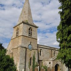
Church of St Mary
2.6 km
Church of Saint Giles
3.6 km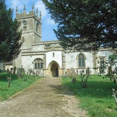
Church of St Andrew
3.2 km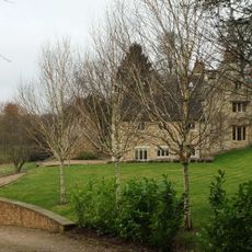
Church End
2.5 km
Baptist Chapel
135 m
Church End House
3.4 km
Swerford War Memorial
2.6 km
Timms Memorial Approximately 10 Metres South East Of Church Of St Andrew
3.2 km
The Old Post Office
314 m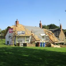
Benacre Cottage
381 m
Harbiage Memorial Approximately 10 Metres South Of Chancel Of Church Of St Andrew
3.2 km
Whichford War Memorial
4.4 km
Old Rectory
2.6 km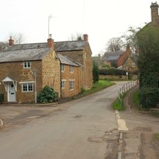
The Old Surgery
452 m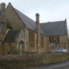
Hook Norton Library
93 m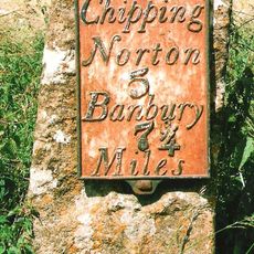
Milestone Approximately 250 Metres West Of The Masons Arms
3.5 km
House To Right Of The Old Sweet Shop
228 m
Malthouse At Hook Norton Brewery
711 m
The Old Sweet Shop
233 m
Churchyard Cross And 2 Tombs Approximately 8 Metres South Pf South Aisle Of Church Of St Andrew
3.2 km
Office Block At Hook Nortomn Brewery
694 m
Sibford School
4.3 km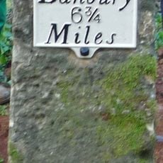
Milestone, Banbury Road; Swerford Heath, 50m W of lane to Heath Farm and 150m E of old toll house
4.1 km
Petra
244 m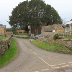
Marrie Mount
546 mVous avez visité ce lieu ? Touchez les étoiles pour le noter et partager votre expérience ou vos photos avec la communauté ! Essayez maintenant ! Vous pouvez annuler à tout moment.
Trouvez des trésors cachés à chaque coin de rue !
Des petits cafés pittoresques aux points de vue planqués, fuyez la foule et dénichez les lieux qui vous ressemblent vraiment. Notre app vous facilite la vie : recherche vocale, filtres malins, itinéraires optimisés et bons plans partagés par des voyageurs du monde entier. Téléchargez vite pour vivre l'aventure en version mobile !

Une approche inédite de la découverte touristique❞
— Le Figaro
Tous les lieux qui valent la peine d'être explorés❞
— France Info
Une excursion sur mesure en quelques clics❞
— 20 Minutes