Barn To West Of Highside Farmhouse, barn in Hexham, Northumberland, UK
Emplacement : Hexham
Coordonnées GPS : 54.97347,-2.14561
Dernière mise à jour : 16 novembre 2025 à 15:08
Border Counties Bridge
1.9 km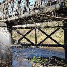
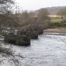
Warden Railway Bridge
1.7 km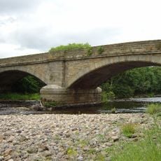
Warden Bridge
1.7 km
Westburn
2 km
Cowshed And Granary To West Of Bagraw Farmhouse
1.6 km
Westwood Farmhouse
1.4 km
The Leazes
1.1 km
Two Lodges At St Andrew's Cemetery
1.3 km
Fairshaw Farmhouse
1 km
Causeway And Bridge Over Cockshaw Burn On Drive To Breckon Hill Farm
835 m
Barn With Horse Engine North West Of Highwood Farmhouse
885 m
Summer Rods
672 m
Stable Block To North West Of Summer Rods
638 m
Breckon Hill Farmhouse
920 m
Low Barns
1.4 km
The Former Hexham Hydropathic (Now Part Of Queen Elizabeth High School)
1.7 km
Coastley Farmhouse
1.4 km
St Andrew's Cemetery Gates
1.3 km
Woodley Field Farmhouse
1.5 km
Garden Wall Railings And Gate To South East Of Coastley Farmhouse
1.4 km
St Andrew's Cemetery Mortuary Chapels
1.3 km
Bagraw Farmhouse
1.6 km
Highford Farmhouse
1.6 km
Bursewell House
1.9 km
Highwood Farmhouse
924 m
Craig's Barn
1.4 km
Garden Walls, Spital Park
1.9 km
Hexham Golf Club
1.7 kmAvis
Vous avez visité ce lieu ? Touchez les étoiles pour le noter et partager votre expérience ou vos photos avec la communauté ! Essayez maintenant ! Vous pouvez annuler à tout moment.
Trouvez des trésors cachés à chaque coin de rue !
Des petits cafés pittoresques aux points de vue planqués, fuyez la foule et dénichez les lieux qui vous ressemblent vraiment. Notre app vous facilite la vie : recherche vocale, filtres malins, itinéraires optimisés et bons plans partagés par des voyageurs du monde entier. Téléchargez vite pour vivre l'aventure en version mobile !

Une approche inédite de la découverte touristique❞
— Le Figaro
Tous les lieux qui valent la peine d'être explorés❞
— France Info
Une excursion sur mesure en quelques clics❞
— 20 Minutes