
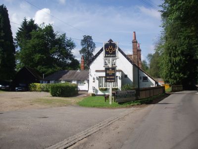
The Four Horseshoes, architectural structure in Checkendon, South Oxfordshire, Oxfordshire, UK
Emplacement : Checkendon
Coordonnées GPS : 51.54097,-1.04592
Dernière mise à jour : 3 mars 2025 à 13:53
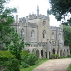
Braziers Park
3.1 km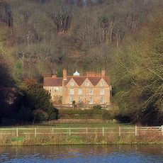
Hardwick House
5.2 km
Nuffield Place
5.2 km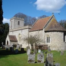
St Peter and St Paul, Checkendon
226 m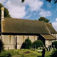
Church of St John the Baptist, Kidmore End
5 km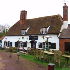
The Crooked Billet Public House
2.6 km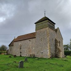
Church of the Holy Trinity
4.5 km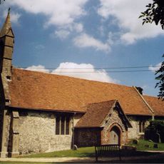
Church of St Mary
4.1 km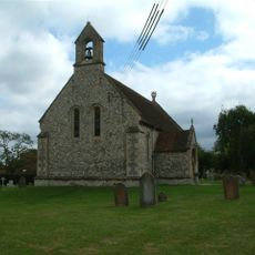
Church of St Leonard
2 km
Church of St John the Evangelist
1.9 km
Church of St Paul
4 km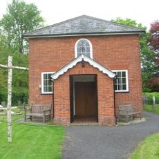
Stoke Row Independent Chapel
2.4 km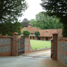
Elvendon Priory
4.1 km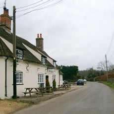
The Highwayman Public House
1.1 km
The Church of Christ the King
4.9 km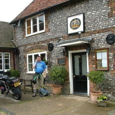
The Crown Public House
5 km
Maharajah's Well
2.1 km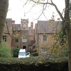
Hardwick House Dower House Approximately 5 Metres West
5.2 km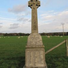
Ipsden war memorial
4 km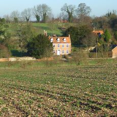
The Old Vicarage
3.8 km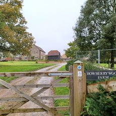
Howberry Wood Farmhouse
3.8 km
Stapnalls Farmhouse
4.6 km
Alnutts Hospital And Attached Forecourt Walls And Gate
3.5 km
Grim's Ditch; portion from Mongewell Park Lodge to S of Nuffield church
5 km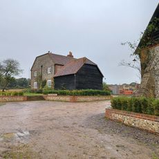
Howberry Wood Farm, Granary Approximately 5 Metres East Of Farmhouse
3.8 km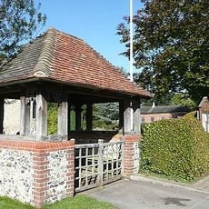
Checkendon War Memorial Lychgate
162 m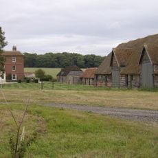
English Farmhouse
3.5 km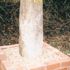
Milestone, Port Hill; 20m W of lane to Hayden Farm
4.8 kmAvis
Vous avez visité ce lieu ? Touchez les étoiles pour le noter et partager votre expérience ou vos photos avec la communauté ! Essayez maintenant ! Vous pouvez annuler à tout moment.
Trouvez des trésors cachés à chaque coin de rue !
Des petits cafés pittoresques aux points de vue planqués, fuyez la foule et dénichez les lieux qui vous ressemblent vraiment. Notre app vous facilite la vie : recherche vocale, filtres malins, itinéraires optimisés et bons plans partagés par des voyageurs du monde entier. Téléchargez vite pour vivre l'aventure en version mobile !

Une approche inédite de la découverte touristique❞
— Le Figaro
Tous les lieux qui valent la peine d'être explorés❞
— France Info
Une excursion sur mesure en quelques clics❞
— 20 Minutes