
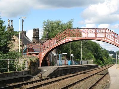
Footbridge at Riding Mill railway station, historic footbridge in Riding Mill, Northumberland UK
Emplacement : Broomhaugh and Riding
Fait partie de : Riding Mill railway station
Coordonnées GPS : 54.94873,-1.97152
Dernière mise à jour : 2 mars 2025 à 22:59
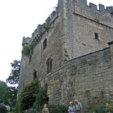
Château de Bywell
3 km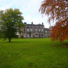
Bywell Hall
2.8 km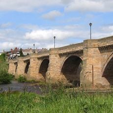
Corbridge Bridge
4 km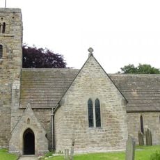
St Andrew's Church, Bywell
2.9 km
Styford Bridge
1.1 km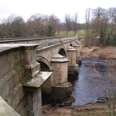
Bywell Bridge
3.3 km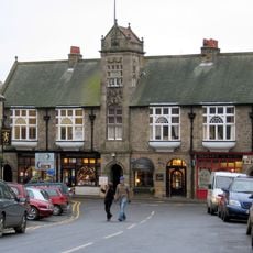
Town Hall With Shops
4.1 km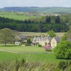
Hindley Hall
3.9 km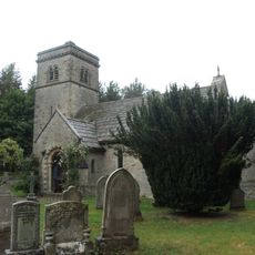
Church of St John
3.2 km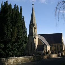
Church of St James
260 m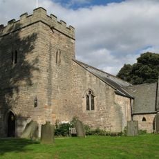
Church of St Peter
3 km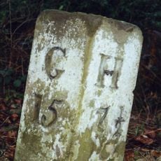
Milestone 200 Metres East Of Broomley Road Junction
2.8 km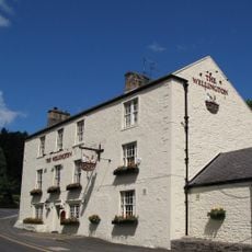
Wellington Inn
139 m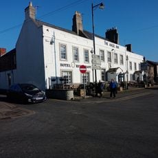
The Angel Inn
4.1 km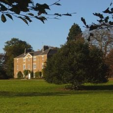
Styford Hall
574 m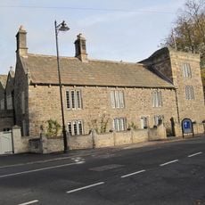
Low Hall
3.9 km
East Portal Of Farnley Scar Tunnel
2.4 km
The Manor House And Wall Attached To Rear
523 m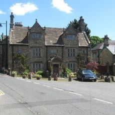
Monksholme
3.9 km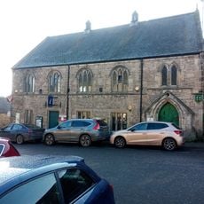
Corbridge Library
4.1 km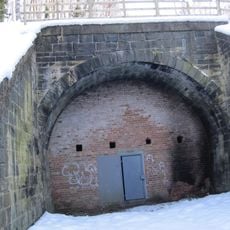
West Portal Of Farnley Scar Tunnel
2.5 km
Milepost 90 Metres East Of Styford Lodge
2.1 km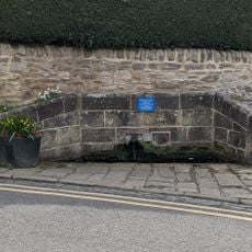
Hydrants And Trough At Junction With Orchard Crescent
4 km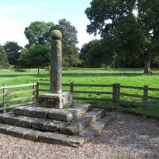
Village Cross
3 km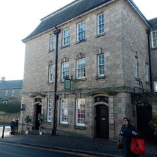
Lloyds Bank
4.1 km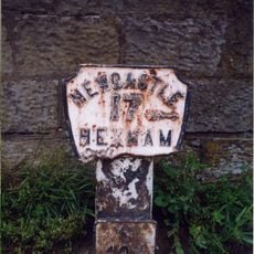
Milepost, approach on S side of bridge
4 km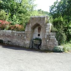
Drinking Fountain 60 Metres South-East Of Church Of St. James
279 m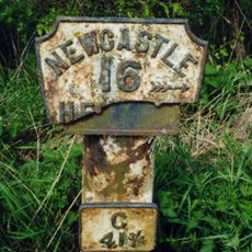
Milepost, Howden Dene, near Cricket Plantation
3.2 kmAvis
Vous avez visité ce lieu ? Touchez les étoiles pour le noter et partager votre expérience ou vos photos avec la communauté ! Essayez maintenant ! Vous pouvez annuler à tout moment.
Trouvez des trésors cachés à chaque coin de rue !
Des petits cafés pittoresques aux points de vue planqués, fuyez la foule et dénichez les lieux qui vous ressemblent vraiment. Notre app vous facilite la vie : recherche vocale, filtres malins, itinéraires optimisés et bons plans partagés par des voyageurs du monde entier. Téléchargez vite pour vivre l'aventure en version mobile !

Une approche inédite de la découverte touristique❞
— Le Figaro
Tous les lieux qui valent la peine d'être explorés❞
— France Info
Une excursion sur mesure en quelques clics❞
— 20 Minutes