
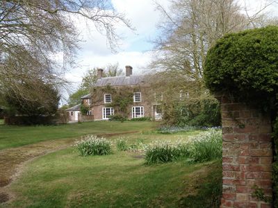
The Nursery, architectural structure in Manningford, Wiltshire, UK
Emplacement : Manningford
Coordonnées GPS : 51.33161,-1.79081
Dernière mise à jour : 23 mars 2025 à 16:20
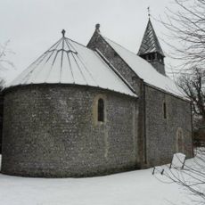
Church of St Peter
1.4 km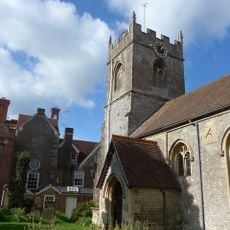
Church of the Holy Cross
1.7 km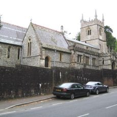
Church of St John the Baptist
1.8 km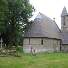
Cemetery Chapel
1.4 km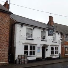
Moonrakers Inn
2.2 km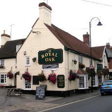
Royal Oak Public House
2 km
Church
637 m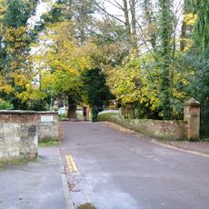
Bridge On Drive To The Old Rectory
2 km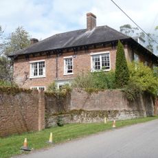
Sharcott Manor House
539 m
Coachman's Cottage
1.9 km
Wilcot War Memorial and railings
2.1 km
Bridge Cottage
2 km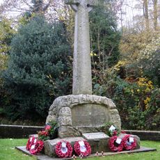
Pewsey War Memorial Cross
1.8 km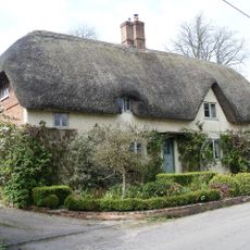
3 Sharcott
520 m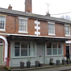
46,48 And 50, High Street
2.2 km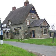
Golden Swan Public House
1.9 km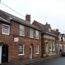
19, High Street
2.1 km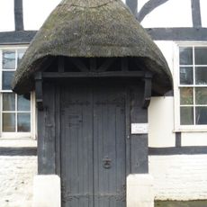
Court House
1.9 km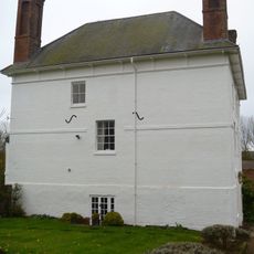
Manor Farmhouse
1.8 km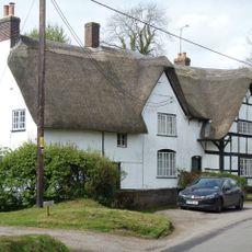
1 and 2
528 m
55, High Street
2.2 km
The Chantry
2.2 km
Old Rectory
2.1 km
Mayfield
2.2 km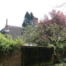
Huntly's
168 m
Phoenix Row
2 km
New Buildings Farmhouse
1.3 km
Lower Farmhouse
687 mAvis
Vous avez visité ce lieu ? Touchez les étoiles pour le noter et partager votre expérience ou vos photos avec la communauté ! Essayez maintenant ! Vous pouvez annuler à tout moment.
Trouvez des trésors cachés à chaque coin de rue !
Des petits cafés pittoresques aux points de vue planqués, fuyez la foule et dénichez les lieux qui vous ressemblent vraiment. Notre app vous facilite la vie : recherche vocale, filtres malins, itinéraires optimisés et bons plans partagés par des voyageurs du monde entier. Téléchargez vite pour vivre l'aventure en version mobile !

Une approche inédite de la découverte touristique❞
— Le Figaro
Tous les lieux qui valent la peine d'être explorés❞
— France Info
Une excursion sur mesure en quelques clics❞
— 20 Minutes