
Oasthouse To West Of Chart Court Farmhouse, drying house in Little Chart, Ashford, Kent, UK
Emplacement : Little Chart
Coordonnées GPS : 51.18632,0.76665
Dernière mise à jour : 25 octobre 2025 à 02:31
Church of the Holy Trinity
3 km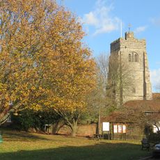
Church of St James
2.8 km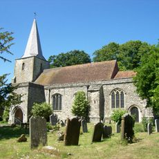
Church of St Nicholas
1.5 km
Chapel At Newlands Stud Farm
1.6 km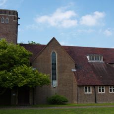
St Mary
1.3 km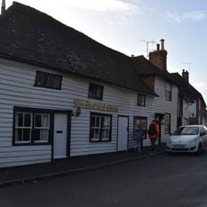
Church House
2.7 km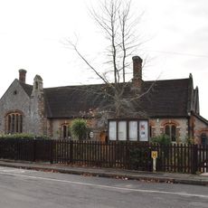
Pluckley Church Of England Primary School
1.6 km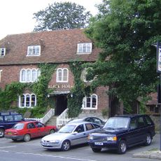
The Black Horse Inn
1.5 km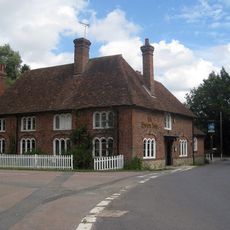
The Swan Inn And Former Stables
1.2 km
Mill House
2.7 km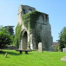
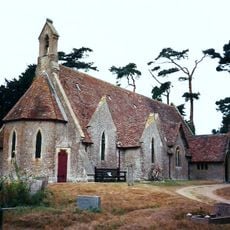
St Mary's Church (remains of)
37 m
Gore Court
2.6 km
Premises Occupied By A G Homewood Butcher Street House
1.5 km
Tollgate House
1.3 km
Gate Lodge To Former Surrenden Dering, 300 Metres To South East Of Church Of St Nicholas, Pluckley
1.6 km
Rose Farmhouse
3.1 km
29-33, Station Road
3.1 km
Clonmore
3.1 km
Mundy Bois House
3 km
Munday Farmhouse
1.2 km
Rose Court
2.2 km
Payne Street
1.4 km
Ragged House Farmhouse
3.1 km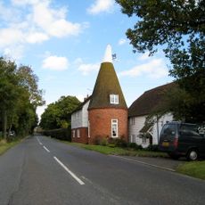
Oasthouse Adjoining Bakers Mead
2.7 km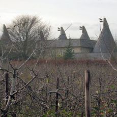
Granary And Oasthouse To The South-west Of Sheerland Farmhouse
1.2 km
Glebe Cottage
2.8 km
Yew Tree Cottage
1.6 km
Little Kingsland Cottage
1.3 kmAvis
Vous avez visité ce lieu ? Touchez les étoiles pour le noter et partager votre expérience ou vos photos avec la communauté ! Essayez maintenant ! Vous pouvez annuler à tout moment.
Trouvez des trésors cachés à chaque coin de rue !
Des petits cafés pittoresques aux points de vue planqués, fuyez la foule et dénichez les lieux qui vous ressemblent vraiment. Notre app vous facilite la vie : recherche vocale, filtres malins, itinéraires optimisés et bons plans partagés par des voyageurs du monde entier. Téléchargez vite pour vivre l'aventure en version mobile !

Une approche inédite de la découverte touristique❞
— Le Figaro
Tous les lieux qui valent la peine d'être explorés❞
— France Info
Une excursion sur mesure en quelques clics❞
— 20 Minutes