
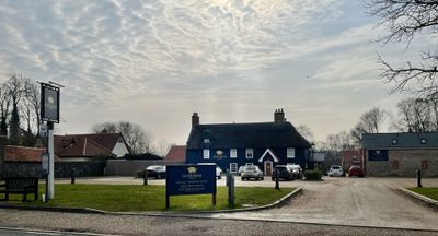
The Red Lion Public House, pub in Icklingham, Forest Heath, Suffolk, UK
Emplacement : Icklingham
Coordonnées GPS : 52.32592,0.59788
Dernière mise à jour : 3 mars 2025 à 19:56
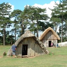
West Stow Anglo-Saxon Village
3.1 km
Black Ditches, Cavenham
3.9 km
Rex Graham nature reserve
3.8 km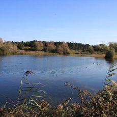
Lackford Lakes
4.1 km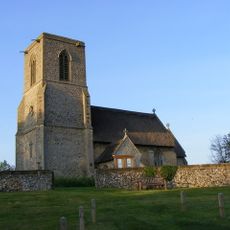
All Saints Church, Icklingham
552 m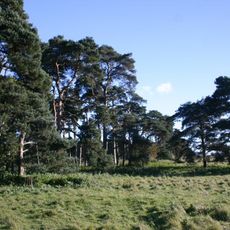
Deadman's Grave, Icklingham
1.8 km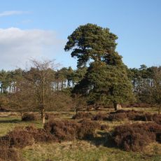
Berner's Heath
4.1 km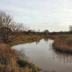
Cavenham - Icklingham Heaths
2 km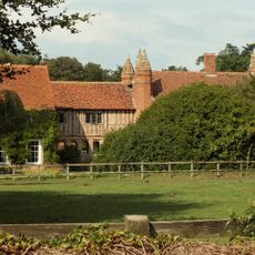
West Stow Hall
4.9 km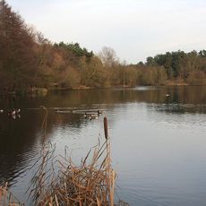
West Stow Heath
2.8 km
How Hill Track
4 km
Cherry Hill and The Gallops, Barton Mills
5 km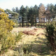
Weather and Horn Heaths, Eriswell
5.1 km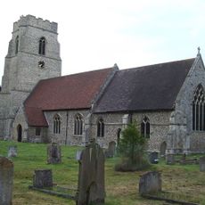
Church of St Mary
5.3 km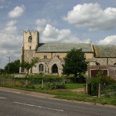
Church of St Mary
3.7 km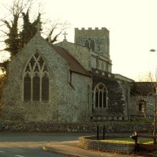
Church of St James
146 m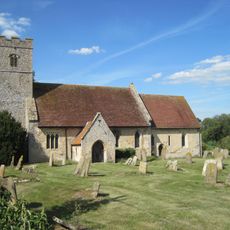
Church of St Andrew
3.3 km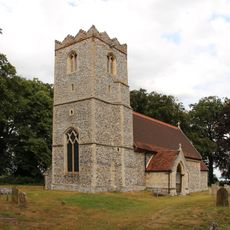
Church of St Lawrence
3.7 km
Church of St Catherine
5.1 km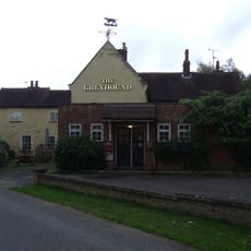
The Greyhound Public House
5.2 km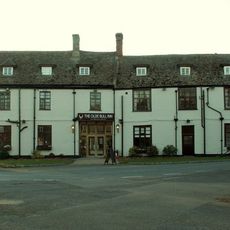
The Bull Inn
4.7 km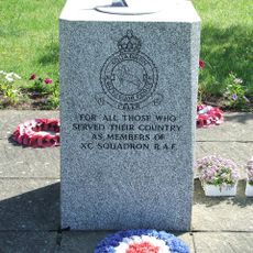
No.90 Squadron RAF Memorial, Tuddenham
3.7 km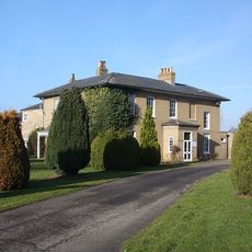
Flempton House
5.2 km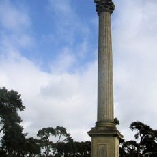
Elveden War Memorial
5 km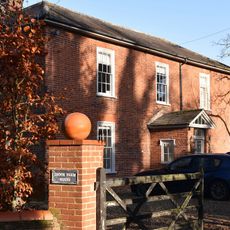
Brook Farmhouse
2.8 km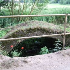
Cavenham Bridge
3.4 km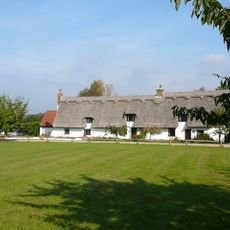
6-9, The Green
5.1 km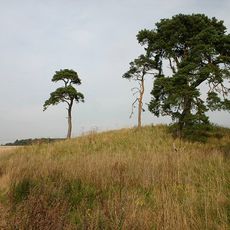
Bowl barrow known as How Hill, east of Heronfield Belt
3.5 kmAvis
Vous avez visité ce lieu ? Touchez les étoiles pour le noter et partager votre expérience ou vos photos avec la communauté ! Essayez maintenant ! Vous pouvez annuler à tout moment.
Trouvez des trésors cachés à chaque coin de rue !
Des petits cafés pittoresques aux points de vue planqués, fuyez la foule et dénichez les lieux qui vous ressemblent vraiment. Notre app vous facilite la vie : recherche vocale, filtres malins, itinéraires optimisés et bons plans partagés par des voyageurs du monde entier. Téléchargez vite pour vivre l'aventure en version mobile !

Une approche inédite de la découverte touristique❞
— Le Figaro
Tous les lieux qui valent la peine d'être explorés❞
— France Info
Une excursion sur mesure en quelques clics❞
— 20 Minutes