
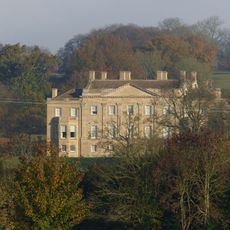
Dunford House, house in Barrington, Cotswold, Gloucestershire, UK
Emplacement : Barrington
Coordonnées GPS : 51.81326,-1.70168
Dernière mise à jour : 9 mars 2025 à 06:53
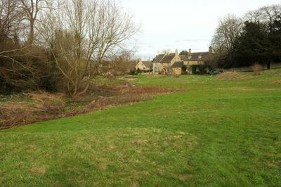
Barrington Park
830 m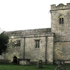
Church of St Peter
1.4 km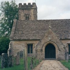
Church of St Peter
229 m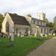
Church of St Mary
720 m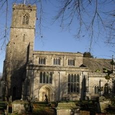
Church of St John the Evangelist
2.8 km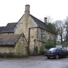
The Fox Inn
395 m
Stableblock Circa 35 Metres West Of Park Farmhouse
917 m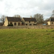
Reading Room
802 m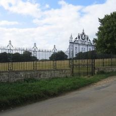
Clairvoyee, Gate And Piers Set Within The Eastern Boundary Wall Of Barrington Park
1.2 km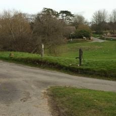
Village Pump And Stone Trough At The Western Corner Of The Green
117 m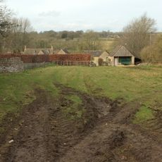
The Lower House
109 m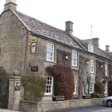
Inn For All Seasons
757 m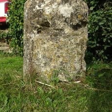
Milestone
715 m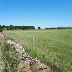
Windrush camp
2.6 km
Windrush Mill
1.6 km
Milestone
2.2 km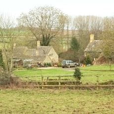
2, Minnow Lane
331 m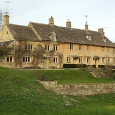
Green Close
118 m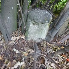
Milestone
1.5 km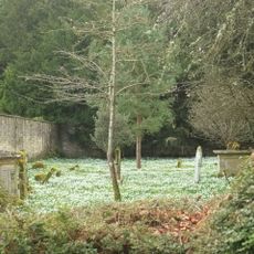
Walled Garden East Of The Church Of St Mary, Barrington Park
704 m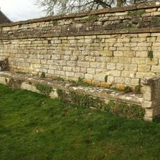
Wall Incorporating Stone Seat Forming The Northern Boundary To The Churchyard Of The Church Of St Mary
746 m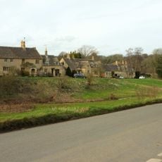
The Old Forge
63 m
Pair Of Adjoining Barns Circa 4 Metres West Of Stable Block At Greendrive Farmhouse
202 m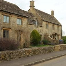
The Hollies
1 km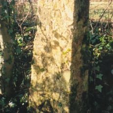
Milestone, 300m SW of Saracen Antiques & Upton Downs Farm
2.2 km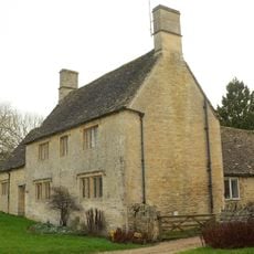
Village Farmhouse
132 m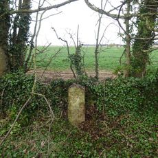
Milestone, E of Barrington; W of Hollowbarn Farm
2.8 km
Milestone, Cat's Alley Barn, opp. jct to Westwell
2.2 kmVous avez visité ce lieu ? Touchez les étoiles pour le noter et partager votre expérience ou vos photos avec la communauté ! Essayez maintenant ! Vous pouvez annuler à tout moment.
Trouvez des trésors cachés à chaque coin de rue !
Des petits cafés pittoresques aux points de vue planqués, fuyez la foule et dénichez les lieux qui vous ressemblent vraiment. Notre app vous facilite la vie : recherche vocale, filtres malins, itinéraires optimisés et bons plans partagés par des voyageurs du monde entier. Téléchargez vite pour vivre l'aventure en version mobile !

Une approche inédite de la découverte touristique❞
— Le Figaro
Tous les lieux qui valent la peine d'être explorés❞
— France Info
Une excursion sur mesure en quelques clics❞
— 20 Minutes