
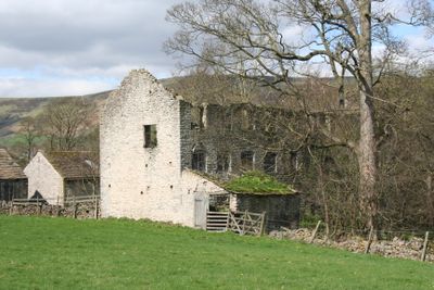
Spital Buildings, Grade II listed former watermill in Castleton, High Peak, Derbyshire, S33
Emplacement : Castleton
Coordonnées GPS : 53.34555,-1.76876
Dernière mise à jour : 3 juin 2025 à 11:05
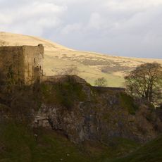
Château de Peveril
818 m
Peak Cavern
860 m
Speedwell Cavern
1.6 km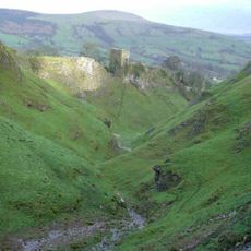
Cave Dale
976 m
Castleton Visitors Centre
634 m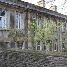
Castleton Hall
647 m
Losehill Hall
637 m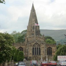
Church of St Peter
1.8 km
Goosehill Hall
914 m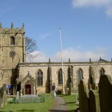
Church of St Edmund
556 m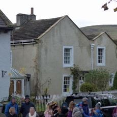
Cryer House
610 m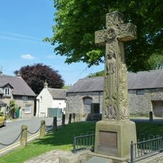
Castleton War Memorial
621 m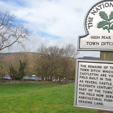
Castleton Town Defences
519 m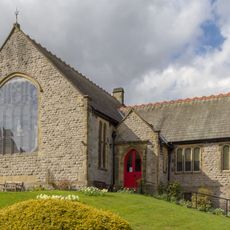
Castleton Methodist Church
708 m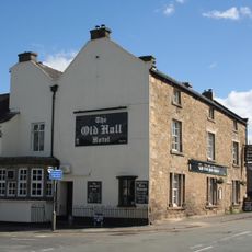
Old Hall Hotel
1.8 km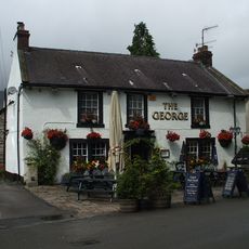
The George
613 m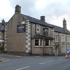
Castle Hotel
592 m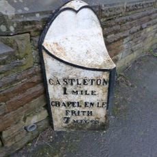
Mile Post East Of Marston Farm Sk159834
504 m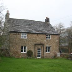
Killhill Farmhouse
1.8 km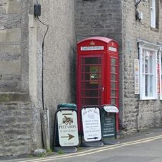
K6 Telephone Kiosk
572 m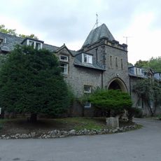
Stable block at Losehill Hall
681 m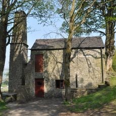
Pindale Mine engine house and attached chimney
1 km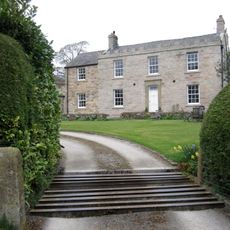
Spring House Farmhouse
851 m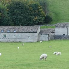
Barn at Goosehill Hall
950 m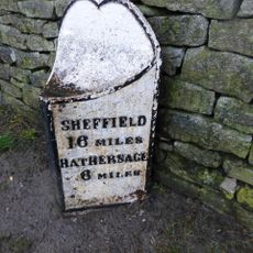
Milepost at OS 146 828
977 m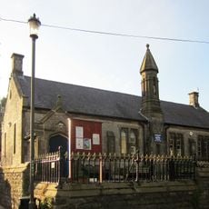
School And Attached Walls And Railings
478 m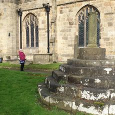
Standing cross in the churchyard of St Peter's Church
1.8 km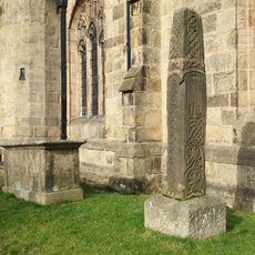
Anglian high cross in the churchyard of St Peter's Church
1.8 kmVous avez visité ce lieu ? Touchez les étoiles pour le noter et partager votre expérience ou vos photos avec la communauté ! Essayez maintenant ! Vous pouvez annuler à tout moment.
Trouvez des trésors cachés à chaque coin de rue !
Des petits cafés pittoresques aux points de vue planqués, fuyez la foule et dénichez les lieux qui vous ressemblent vraiment. Notre app vous facilite la vie : recherche vocale, filtres malins, itinéraires optimisés et bons plans partagés par des voyageurs du monde entier. Téléchargez vite pour vivre l'aventure en version mobile !

Une approche inédite de la découverte touristique❞
— Le Figaro
Tous les lieux qui valent la peine d'être explorés❞
— France Info
Une excursion sur mesure en quelques clics❞
— 20 Minutes