
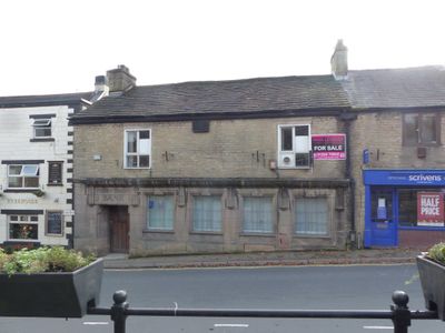
Williams And Glynn's Bank, bank building in Chapel-en-le-Frith, High Peak, Derbyshire, UK
Emplacement : Chapel-en-le-Frith
Coordonnées GPS : 53.32308,-1.91569
Dernière mise à jour : 2 avril 2025 à 00:50
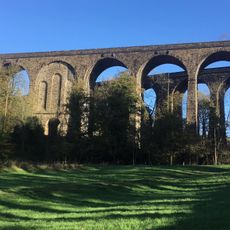
Chapel Milton Viaduct
1.1 km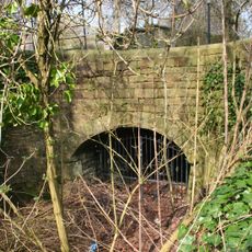
Stodhart Tunnel
997 m
Church of St Thomas of Canterbury
147 m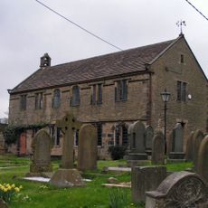
Chinley Independent Chapel
1.3 km
Townend Methodist Church
471 m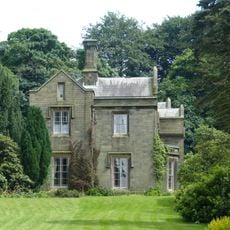
Bowden Hall
1.4 km
The Royal Oak Inn
13 m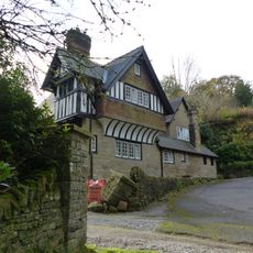
Bank Hall Lodge
1.4 km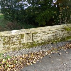
Bridge on Bank Hall Drive adjacent to Down Lee Farm
1.2 km
Hollinknoll Gates And Gate Piers
1.2 km
Hollinknoll
1.2 km
Gate piers, railings and gates to south of Church of St Thomas Becket
114 m
Standing cross in the churchyard of St Thomas Becket Church
135 m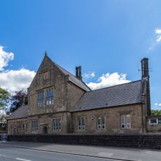
Primary School
176 m
War Memorial
17 m
The Smithy
1.5 km
Hearse House
204 m
Barn Two Metres South West Of Martinside
1.6 km
Cartshed to north west of Bowden Hall
1.5 km
Market Cross
23 m
22, Market Place
96 m
Lidgate Farmhouse
1.7 km
Village Stocks
39 m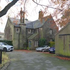
The Vicarage
142 m
Stabling at Bowden Hall
1.5 km
Anglo Scandinavian high cross in the churchyard of St Thomas Becket Church
151 m
16, High Street
137 m
Marsh Hall And Barn
1.1 kmAvis
Vous avez visité ce lieu ? Touchez les étoiles pour le noter et partager votre expérience ou vos photos avec la communauté ! Essayez maintenant ! Vous pouvez annuler à tout moment.
Trouvez des trésors cachés à chaque coin de rue !
Des petits cafés pittoresques aux points de vue planqués, fuyez la foule et dénichez les lieux qui vous ressemblent vraiment. Notre app vous facilite la vie : recherche vocale, filtres malins, itinéraires optimisés et bons plans partagés par des voyageurs du monde entier. Téléchargez vite pour vivre l'aventure en version mobile !

Une approche inédite de la découverte touristique❞
— Le Figaro
Tous les lieux qui valent la peine d'être explorés❞
— France Info
Une excursion sur mesure en quelques clics❞
— 20 Minutes