
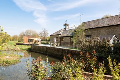
Barn And Coach House To East Of Old Wolverton Mill, barn in Wolverton and Greenleys, Milton Keynes, Buckinghamshire, UK
Emplacement : Wolverton and Greenleys
Coordonnées GPS : 52.06291,-0.84175
Dernière mise à jour : 4 mars 2025 à 19:42
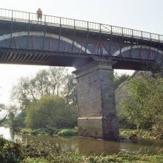
Cosgrove aqueduct
856 m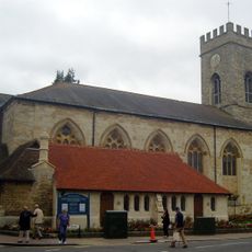
Parish Church of St Mary and St Giles
1 km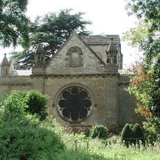
Holy Trinity Church
837 m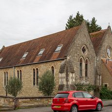
Church of St Mary
1 km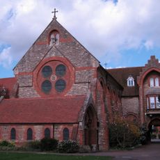
Former St Anthonys Franciscan Preparatory School
1.1 km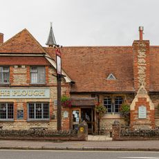
The Plough Inn
989 m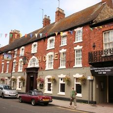
The Cock Hotel
1 km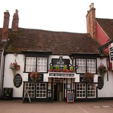
The Old George
1 km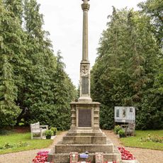
Stony Stratford War Memorial Cross
1.2 km
The Bull Hotel
1 km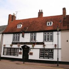
The Crown Public House
1.2 km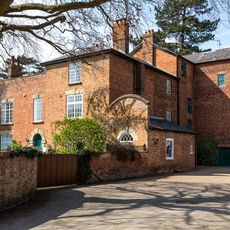
Old Wolverton Mill
23 m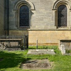
Two Chest Tombs To The South Of The Nave Of The Church Of The Holy Trinity
832 m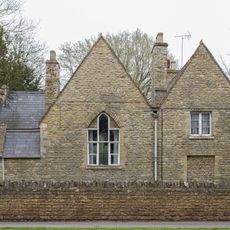
Former School And School House
948 m
Working Men's Social Club
1 km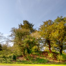
Wolverton Castle
937 m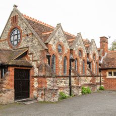
St Mary's Parish Hall
998 m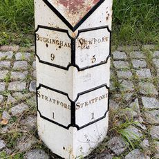
Milepost, Stratford Road; Wolverton Mill, by Wolverton Park, opp. Mill End, 100m W of double mini-roundabout
776 m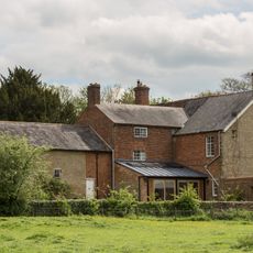
Wolverton Park
707 m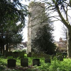
Remains of the church and churchyard of St Mary Magdalen
1 km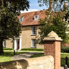
Manor Farm House
1.4 km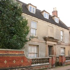
Stratford House
1.2 km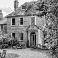
Longueville Court
852 m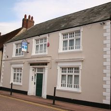
8, Market Square
1.1 km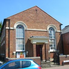
Methodist Church And Church Hall
1.2 km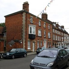
Tower House
1.1 km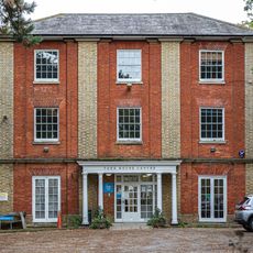
York House (Youth Club)
998 m
Motte and bailey castle, deserted village and monastic grange at Old Wolverton
984 mVous avez visité ce lieu ? Touchez les étoiles pour le noter et partager votre expérience ou vos photos avec la communauté ! Essayez maintenant ! Vous pouvez annuler à tout moment.
Trouvez des trésors cachés à chaque coin de rue !
Des petits cafés pittoresques aux points de vue planqués, fuyez la foule et dénichez les lieux qui vous ressemblent vraiment. Notre app vous facilite la vie : recherche vocale, filtres malins, itinéraires optimisés et bons plans partagés par des voyageurs du monde entier. Téléchargez vite pour vivre l'aventure en version mobile !

Une approche inédite de la découverte touristique❞
— Le Figaro
Tous les lieux qui valent la peine d'être explorés❞
— France Info
Une excursion sur mesure en quelques clics❞
— 20 Minutes