
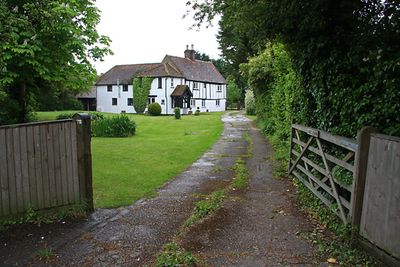
Moat Farmhouse, farmhouse in Eaton Bray, Central Bedfordshire, Bedfordshire, UK
Emplacement : Eaton Bray
Coordonnées GPS : 51.87547,-0.58885
Dernière mise à jour : 2 mars 2025 à 23:00
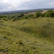
Totternhoe Knolls
1.6 km
Maiden Bower hillfort
3.1 km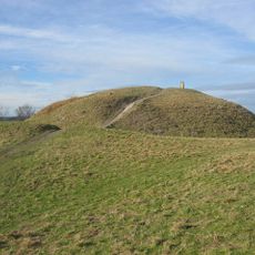
Totternhoe Castle
1.7 km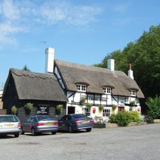
Cross Keys Inn
1.5 km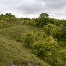
Totternhoe Chalk Quarry
2.3 km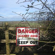
Totternhoe Stone Pit
1.8 km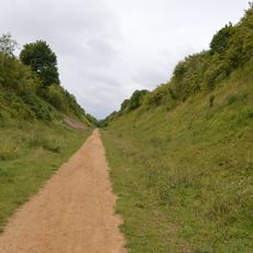
Sewell Cutting
3.5 km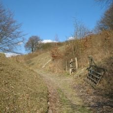
Dunstable and Whipsnade Downs
3.4 km
Church of All Saints, Tilsworth
3.7 km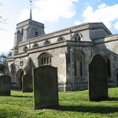
Church of St Mary, Eaton Bray
286 m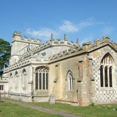
Church of St Giles, Totternhoe
1.6 km
Church of St John the Baptist, Stanbridge, Bedfordshire
3.7 km
Totternhoe nature reserve
1.7 km
Lancot Meadow
3.3 km
Church of the Holy Cross
3.5 km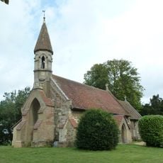
Church of Saint Michael and All Angels
3.7 km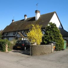
2, Church Lane
257 m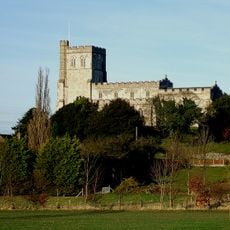
Church of St Mary the Virgin
1.6 km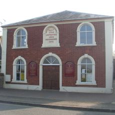
Methodist Church
604 m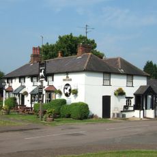
The White Horse Public House
467 m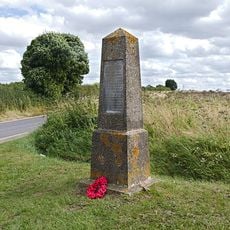
The Robertson War Memorial Bequest Obelisk, Robertson Corner
3.8 km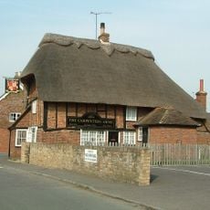
The Carpenters Arms
3.8 km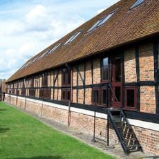
Barn at Church Farm
1.3 km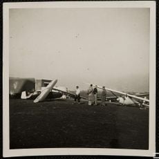
London Gliding Club Hangar And Clubhouse
2.9 km
Five Knolls round barrow cemetery: three bell barrows, two bowl barrows and two pond barrows on Dunstable Down
3.4 km
Butler's Manor
2.3 km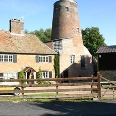
Doolittle Mill
1.8 km
Gatehouse To Manor Farm
3.6 kmVous avez visité ce lieu ? Touchez les étoiles pour le noter et partager votre expérience ou vos photos avec la communauté ! Essayez maintenant ! Vous pouvez annuler à tout moment.
Trouvez des trésors cachés à chaque coin de rue !
Des petits cafés pittoresques aux points de vue planqués, fuyez la foule et dénichez les lieux qui vous ressemblent vraiment. Notre app vous facilite la vie : recherche vocale, filtres malins, itinéraires optimisés et bons plans partagés par des voyageurs du monde entier. Téléchargez vite pour vivre l'aventure en version mobile !

Une approche inédite de la découverte touristique❞
— Le Figaro
Tous les lieux qui valent la peine d'être explorés❞
— France Info
Une excursion sur mesure en quelques clics❞
— 20 Minutes