
Brook Lea House, architectural structure in Cotherstone, County Durham, UK
Emplacement : Cotherstone
Coordonnées GPS : 54.57099,-1.98060
Dernière mise à jour : 4 mars 2025 à 12:18
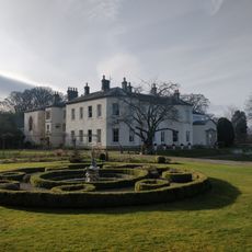
Lartington Hall
1.9 km
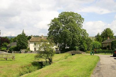
Cotherstone Castle
477 m
Shipley and Great Woods
1.8 km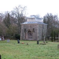
Mausoleum/Mortuary Chapel 90 Metres North Of Yew Trees
1.8 km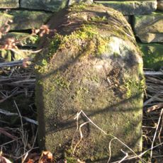
Township Road Marker Stone C.100 Metres South Of Handkerchief Plantation
2.8 km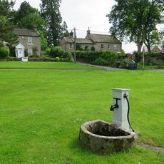
Water Pump And Trough, 45 Metres East Of Kirk Inn
3.1 km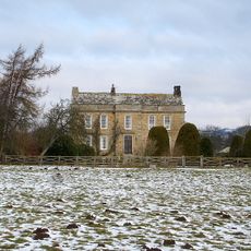
Doe Park
1 km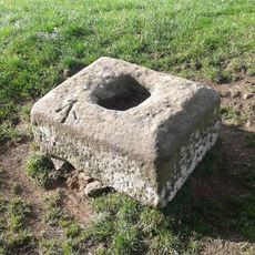
The Christening Stone, 160m east of Doe Park
961 m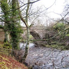
Balder Bridge
666 m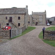
High Shipley
2.1 km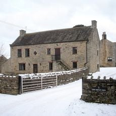
Byres And Loft South-East Of High Shipley
2.1 km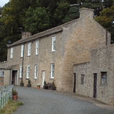
Woden Croft
1.4 km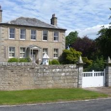
The Grove
1.8 km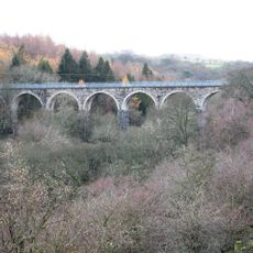
Balder Viaduct
1.9 km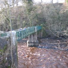
Cotherstone Bridge
695 m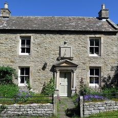
Hallgarth Hill House
399 m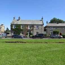
The Green And Front Garden Wall
52 m
The Nook
1.9 km
Pecknell Farmhouse
2.4 km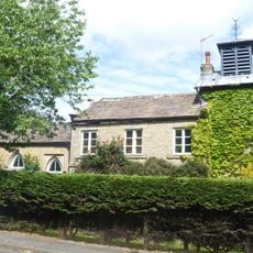
Tower House
1.9 km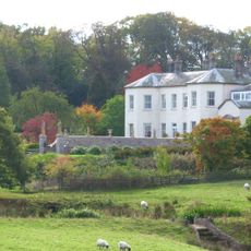
Garden Wall, With Statues And 2 Sets Of Gate Piers, Adjoining To East Of Lartington Hall
2 km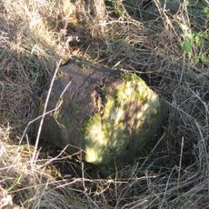
Township Road Marker Stone C.50 Metres East Of Moss Mire
2.2 km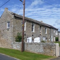
Outbuilding, 20 Metres West Of The Grove
1.8 km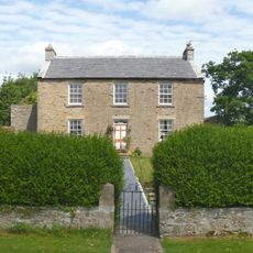
The Beeches
1.8 km
The Woodlands
1.8 km
Field Barn, 700 Metres East Of Hunderthwaite Farmhouse
2.5 km
Gate Piers, End Piers, Gate And Linking Walls At Entrance To Lartington Squash Club
1.9 km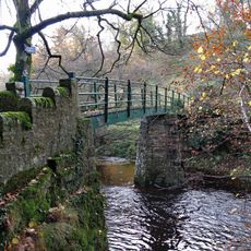
Footbridge over the River Balder
581 mAvis
Vous avez visité ce lieu ? Touchez les étoiles pour le noter et partager votre expérience ou vos photos avec la communauté ! Essayez maintenant ! Vous pouvez annuler à tout moment.
Trouvez des trésors cachés à chaque coin de rue !
Des petits cafés pittoresques aux points de vue planqués, fuyez la foule et dénichez les lieux qui vous ressemblent vraiment. Notre app vous facilite la vie : recherche vocale, filtres malins, itinéraires optimisés et bons plans partagés par des voyageurs du monde entier. Téléchargez vite pour vivre l'aventure en version mobile !

Une approche inédite de la découverte touristique❞
— Le Figaro
Tous les lieux qui valent la peine d'être explorés❞
— France Info
Une excursion sur mesure en quelques clics❞
— 20 Minutes