
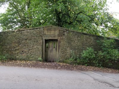
Friends' Burial Ground, architectural structure in Rossendale, Lancashire, UK
Emplacement : Rossendale
Coordonnées GPS : 53.70900,-2.27596
Dernière mise à jour : 9 mars 2025 à 14:32
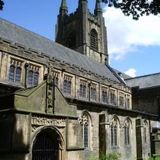
St John the Evangelist's Church, Crawshawbooth
1.7 km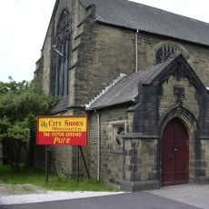
St John's Church, Rawtenstall
977 m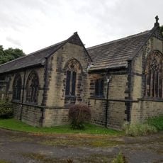
St Paul's Church, Constable Lee
844 m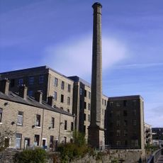
Ilex Mill
1 km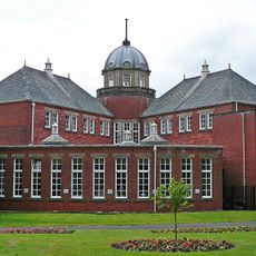
Rawtenstall Library
1.2 km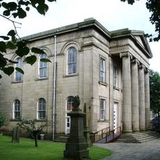
Longholme Methodist Church
1.1 km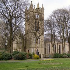
Church of St Mary
1.2 km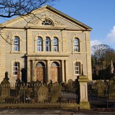
Former Rakefoot Methodist Church
1.7 km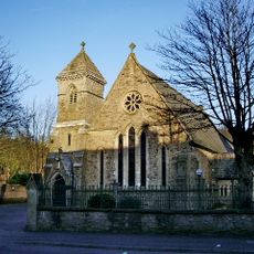
Roman Catholic Church of St James the Less
812 m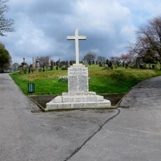
War Memorial in Rawtenstall Cemetery
686 m
Pavilion Cinema
1.3 km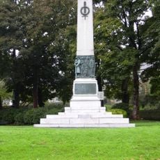
Rawtenstall Cenotaph
1.2 km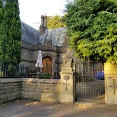
Staghills Lodge
1.8 km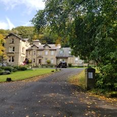
Heightside
1.5 km
1 and 3, Daisy Hill
862 m
Lower Constable Lee Farmhouse
794 m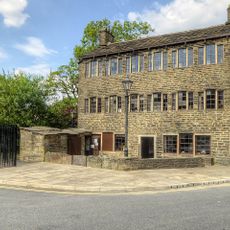
1, Bacup Road
977 m
Waingate Farmhouse
362 m
5, Bolton Street
1.9 km
Nos 2 And 4 Higher Constable Lee
792 m
Gate Piers To Crawshaw Hall
1.6 km
Friends' Meeting House
1.9 km
Hurst Farm And Hurst Cottage
472 m
Lower Laund Mill
946 m
Crawshaw Hall
1.6 km
Lower Chapel Hill Farmhouse
202 m
Higher Chapel Hill Farmhouse
177 m
Milestone, Lumb, between Lumb & Whitewell Bottom, opp. No. 691
1.8 kmVous avez visité ce lieu ? Touchez les étoiles pour le noter et partager votre expérience ou vos photos avec la communauté ! Essayez maintenant ! Vous pouvez annuler à tout moment.
Trouvez des trésors cachés à chaque coin de rue !
Des petits cafés pittoresques aux points de vue planqués, fuyez la foule et dénichez les lieux qui vous ressemblent vraiment. Notre app vous facilite la vie : recherche vocale, filtres malins, itinéraires optimisés et bons plans partagés par des voyageurs du monde entier. Téléchargez vite pour vivre l'aventure en version mobile !

Une approche inédite de la découverte touristique❞
— Le Figaro
Tous les lieux qui valent la peine d'être explorés❞
— France Info
Une excursion sur mesure en quelques clics❞
— 20 Minutes