
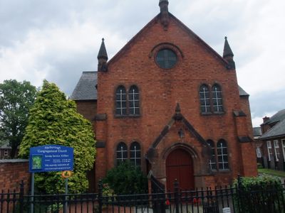
Congregational Church, church building in Narborough, Blaby, Leicestershire, UK
Emplacement : Narborough
Coordonnées GPS : 52.57237,-1.20461
Dernière mise à jour : 7 mars 2025 à 09:06
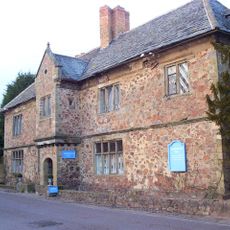
Narborough Hall
248 m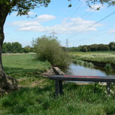
Aylestone Meadows
4.7 km
Croft and Huncote Quarry
3.1 km
Croft Hill
3.2 km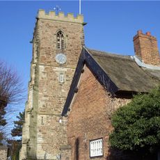
All Saints Church, Narborough
108 m
Enderby Warren Quarry
2.5 km
Church of St Thomas
4.7 km
Church of All Saints
3 km
Narborough Bog
1 km
Croft Pasture
3.5 km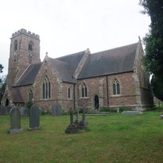
Church of St Michael and All Saints
3.3 km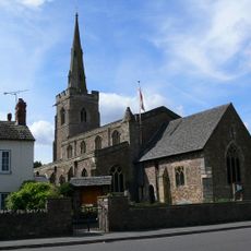
Church of St Michael and All Angels
2.7 km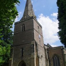
Church of St Andrew
4.8 km
Church of St John the Baptist
2 km
Church of St Peter
1.8 km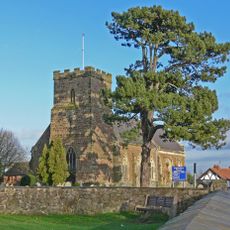
Church of All Saints
4.1 km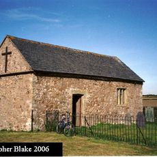
Church of St Mary
4.3 km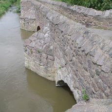
Aylestone Old Bridge
4.5 km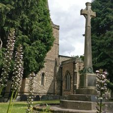
Aylestone War Memorial
4.7 km
The Bakers Arms Public House
3 km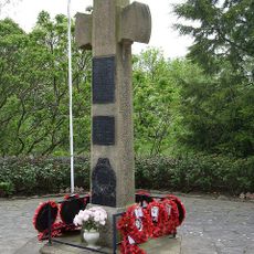
War Memorial Cross and Enclosure
3.3 km
The Manor Restaurant
3.7 km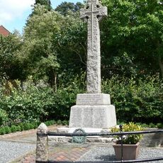
Whetstone War Memorial
1.7 km
South Wigston War Memorial
4.7 km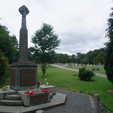
Narborough War Memorial
118 m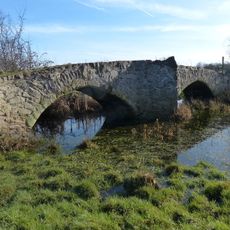
Enderby Mill Bridge
1.4 km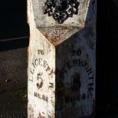
Milepost About 30 Metres South Of The Elms
2.7 km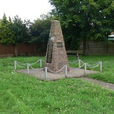
Blaby War Memorial
2.7 kmVous avez visité ce lieu ? Touchez les étoiles pour le noter et partager votre expérience ou vos photos avec la communauté ! Essayez maintenant ! Vous pouvez annuler à tout moment.
Trouvez des trésors cachés à chaque coin de rue !
Des petits cafés pittoresques aux points de vue planqués, fuyez la foule et dénichez les lieux qui vous ressemblent vraiment. Notre app vous facilite la vie : recherche vocale, filtres malins, itinéraires optimisés et bons plans partagés par des voyageurs du monde entier. Téléchargez vite pour vivre l'aventure en version mobile !

Une approche inédite de la découverte touristique❞
— Le Figaro
Tous les lieux qui valent la peine d'être explorés❞
— France Info
Une excursion sur mesure en quelques clics❞
— 20 Minutes