
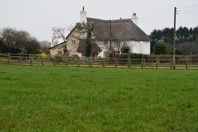
Rosemead, building in Poltimore, East Devon, Devon, UK
Emplacement : Poltimore
Coordonnées GPS : 50.75804,-3.47911
Dernière mise à jour : 3 mars 2025 à 11:35
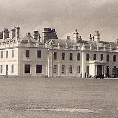
Poltimore House
999 m
Church of St Michael and All Angels
1.5 km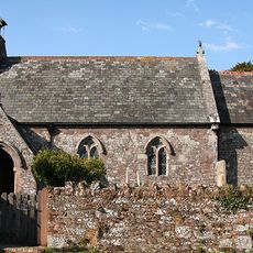
Church of St Mary the Virgin
1.8 km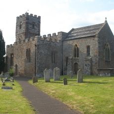
The Parish Church of St Mary
919 m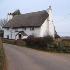
Hayes Cottage
1 km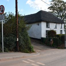
Jonas Pyne
1.8 km
Stable Block Of Pinbrook Farmhouse
1.9 km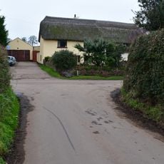
Barnfield Cottages
527 m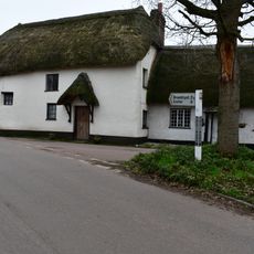
Gretal Cottage The Towan House
883 m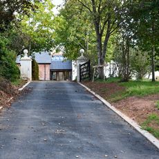
Home Farm
1.7 km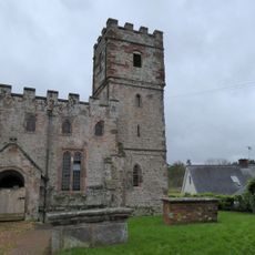
Tomb Chest 4 Metres North Of North Transept Of Parish Church
935 m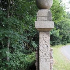
The Bowles Comprising 2 Gatepiers At The Junction Of B3181 And The Lane To Poltimore 100 Metres South Of New Lodge
1.8 km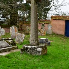
Churchyard Cross
1.5 km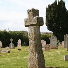
Churchyard cross 15m south east of St Mary's church
927 m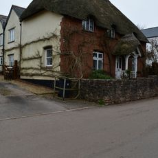
Cogswells
938 m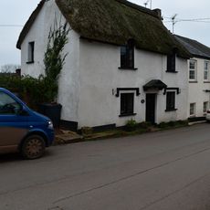
Church Close
920 m
The Old Rectory
1.1 km
Pyms
1.3 km
Tomb Chest 5 Metres South Of Churchyard Gate
933 m
Pinbrook House
1.9 km
Rectory And Barn Adjoining
1.5 km
Clapper Gate
1.5 km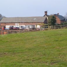
Goffins Farmhouse & Courtyard Buildings
1.6 km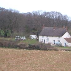
Old Park
1.4 km
Bowls Cross Gatepiers (At Sx 963982)
1.8 km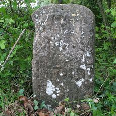
Milestone, opp. Huxham Wood Farm entrance (cattery), 300m NW of Pynes Lodge, opp. top N end of Huxham Bridge
871 m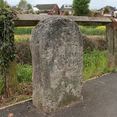
Milestone, West Clyst, just W of the bus stop
1.7 km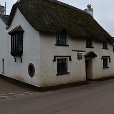
The Old Smithy
907 mVous avez visité ce lieu ? Touchez les étoiles pour le noter et partager votre expérience ou vos photos avec la communauté ! Essayez maintenant ! Vous pouvez annuler à tout moment.
Trouvez des trésors cachés à chaque coin de rue !
Des petits cafés pittoresques aux points de vue planqués, fuyez la foule et dénichez les lieux qui vous ressemblent vraiment. Notre app vous facilite la vie : recherche vocale, filtres malins, itinéraires optimisés et bons plans partagés par des voyageurs du monde entier. Téléchargez vite pour vivre l'aventure en version mobile !

Une approche inédite de la découverte touristique❞
— Le Figaro
Tous les lieux qui valent la peine d'être explorés❞
— France Info
Une excursion sur mesure en quelques clics❞
— 20 Minutes