
56 And 58, building in Rowlands Castle, East Hampshire, Hampshire, UK
Emplacement : Rowlands Castle
Coordonnées GPS : 50.90958,-0.95279
Dernière mise à jour : 3 avril 2025 à 01:57

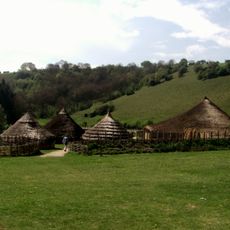
Butser Ancient Farm
4.1 km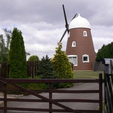
Chalton Windmill
3.9 km
Church of St Paul
3.4 km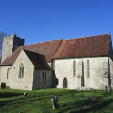
Church of St Michael
3.2 km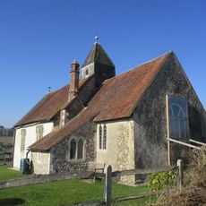
Church of St Hubert
1.4 km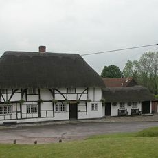
Red Lion Inn
3.3 km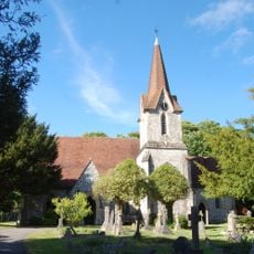
Church of the Holy Trinity
2.7 km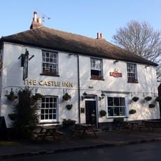
The Castle Inn
2.1 km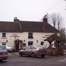
The Coach And Horses Public House
4.4 km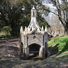
The Staunton Memorial
4.1 km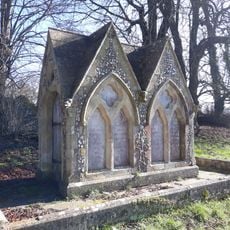
Monument 40 Metres North East Of Church
3.2 km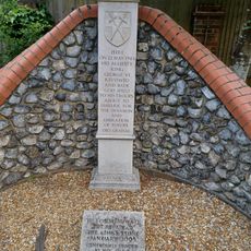
Commerative Stone
2.9 km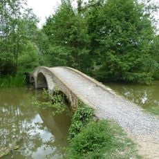
Footbridge
4 km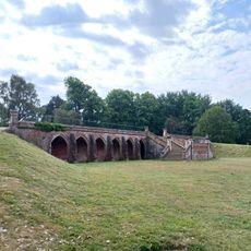
Leigh Park Mansion Terrace
4.1 km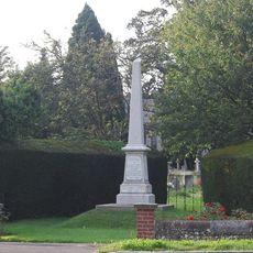
Rowland's Castle War Memorial
3 km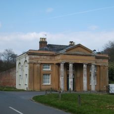
The North Lodge Of Stansted House
2.9 km
Stansted House
3.4 km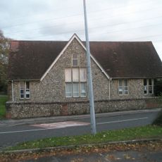
Hordean Library
3.3 km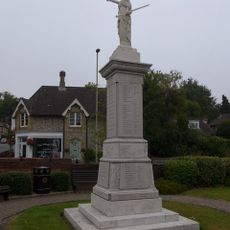
Horndean War Memorial
3.1 km
The Priory
3.2 km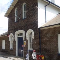
Station
1.9 km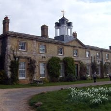
The Former Stables And Service Wing Of Stansted House
3.4 km
Lumley Seat
3.5 km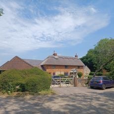
Wellsworth Farm
1.4 km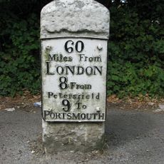
Milestone Opposite No 178
4 km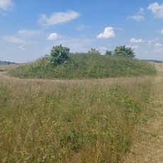
Three bowl barrows on Chalton Down, 860m east of Netherley Farm
2.2 km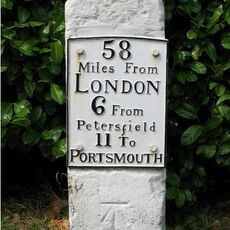
Milestone Opposite No 279
3.9 km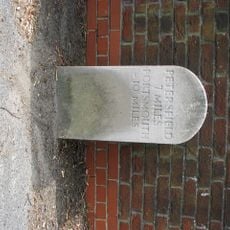
Milestone, London Road, by No.78
3.2 kmVous avez visité ce lieu ? Touchez les étoiles pour le noter et partager votre expérience ou vos photos avec la communauté ! Essayez maintenant ! Vous pouvez annuler à tout moment.
Trouvez des trésors cachés à chaque coin de rue !
Des petits cafés pittoresques aux points de vue planqués, fuyez la foule et dénichez les lieux qui vous ressemblent vraiment. Notre app vous facilite la vie : recherche vocale, filtres malins, itinéraires optimisés et bons plans partagés par des voyageurs du monde entier. Téléchargez vite pour vivre l'aventure en version mobile !

Une approche inédite de la découverte touristique❞
— Le Figaro
Tous les lieux qui valent la peine d'être explorés❞
— France Info
Une excursion sur mesure en quelques clics❞
— 20 Minutes