
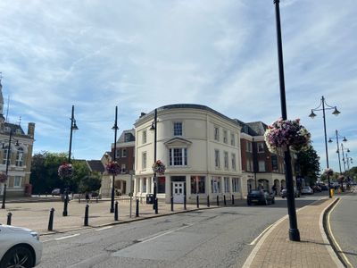
2, Clarence Street, building in Spelthorne, Surrey, UK
Emplacement : Spelthorne
Coordonnées GPS : 51.43344,-0.51405
Dernière mise à jour : 2 avril 2025 à 00:50
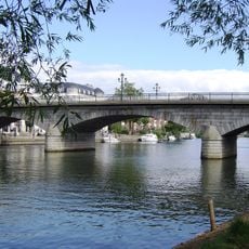
Staines Bridge
199 m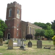
St Mary's, Staines
466 m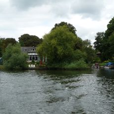
Church Island
448 m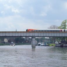
Staines Railway Bridge
371 m
Hollyhock Island
993 m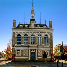
Staines Town Hall
59 m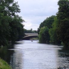
Holm Island
993 m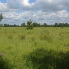
Thorpe Hay Meadow
1.3 km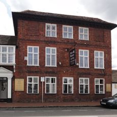
Anne Boleyn Hotel
206 m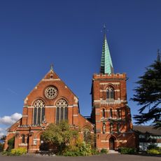
Church of St Peter
644 m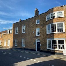
57 and 59, Church Street
268 m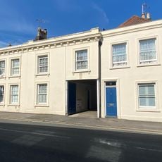
75, Church Street
295 m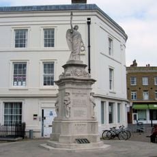
Staines War Memorial
13 m
The Swan Public House
184 m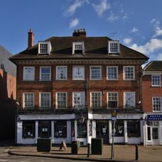
The Blue Anchor Public House
39 m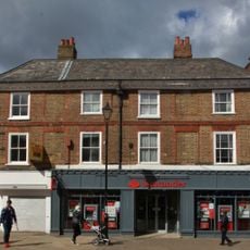
44, 46 And 48, High Street
164 m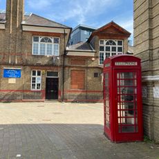
2 K6 Telephone Kiosks In Front Of Town Hall
41 m
35, Clarence Street
120 m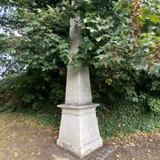
Obelisk To North Of Railway Bridge
365 m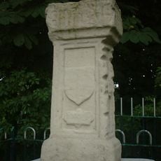
The London Stone
675 m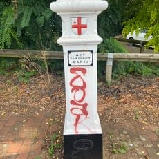
Coal Tax Post At West End Of The Hythe On Traffic Island
264 m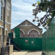
Fire Engine Shed
79 m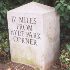
Milestone, 100m W of Staines Bridge, at Sainsbury's Roundabout off Causeway
442 m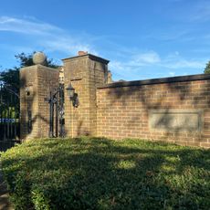
Boundary Wall Of Duncroft House
544 m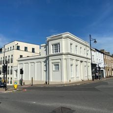
Former Public Library
139 m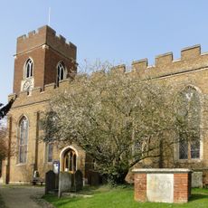
George Hawkins Tomb In St Mary's Churchyard
443 m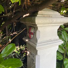
Coal Tax Post North Side East End
278 m
1-11, the Hythe
212 mVous avez visité ce lieu ? Touchez les étoiles pour le noter et partager votre expérience ou vos photos avec la communauté ! Essayez maintenant ! Vous pouvez annuler à tout moment.
Trouvez des trésors cachés à chaque coin de rue !
Des petits cafés pittoresques aux points de vue planqués, fuyez la foule et dénichez les lieux qui vous ressemblent vraiment. Notre app vous facilite la vie : recherche vocale, filtres malins, itinéraires optimisés et bons plans partagés par des voyageurs du monde entier. Téléchargez vite pour vivre l'aventure en version mobile !

Une approche inédite de la découverte touristique❞
— Le Figaro
Tous les lieux qui valent la peine d'être explorés❞
— France Info
Une excursion sur mesure en quelques clics❞
— 20 Minutes