
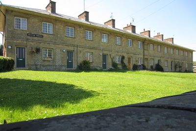
31-45, High Street, building in Potterspury, South Northamptonshire, Northamptonshire, UK
Emplacement : Potterspury
Coordonnées GPS : 52.08169,-0.89465
Dernière mise à jour : 11 mars 2025 à 13:39
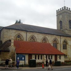
Parish Church of St Mary and St Giles
3.9 km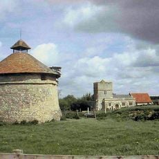
Furtho
1.4 km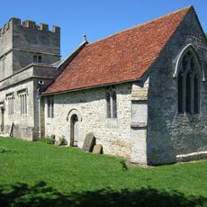
St Bartholomew's Church, Furtho
1.5 km
Grafton Regis Meadow
3.5 km
Mill Crook
3.5 km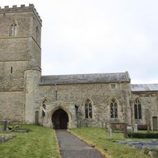
Church of St Mary the Virgin
3.8 km
Church of St John the Evangelist
3.9 km
Church of Holy Trinity
3.6 km
Church of St Peter and St Paul
3.3 km
Church of St Nicholas
372 m
Former St Anthonys Franciscan Preparatory School
3.6 km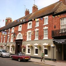
The Cock Hotel
3.9 km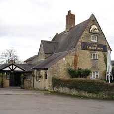
The Barley Mow Public House
3.4 km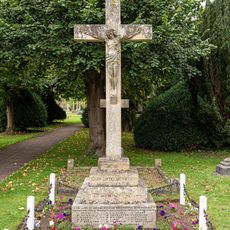
Deanshanger War Memorial
3.6 km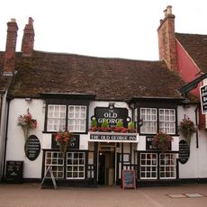
The Old George
4 km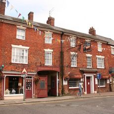
The Bull Hotel
3.9 km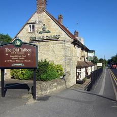
The Old Talbot Public House
645 m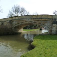
Bridge Number 65
3.5 km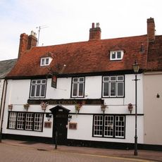
The Crown Public House
4 km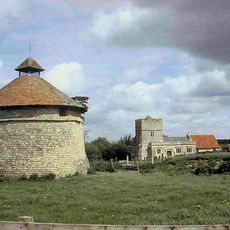
Dovecote At Manor Farm
1.5 km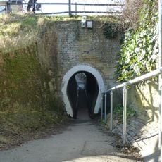
The Horse Tunnel
3.5 km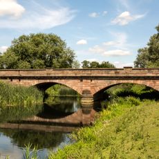
Bridge Over River Ouse (That Part In Old Stratford Civil Parish)
3.2 km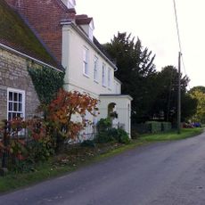
Manor Farmhouse
4.1 km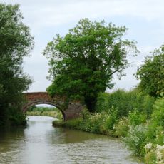
Grand Union Canal Bridge Number 63 At Sp 781 445
2.7 km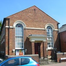
Methodist Church And Church Hall
4.1 km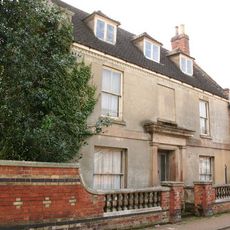
Stratford House
3.9 km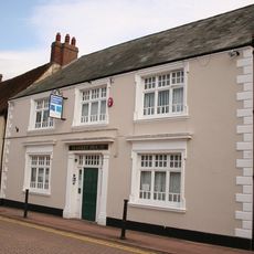
8, Market Square
4 km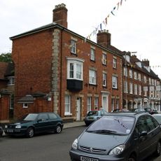
Tower House
3.7 kmVous avez visité ce lieu ? Touchez les étoiles pour le noter et partager votre expérience ou vos photos avec la communauté ! Essayez maintenant ! Vous pouvez annuler à tout moment.
Trouvez des trésors cachés à chaque coin de rue !
Des petits cafés pittoresques aux points de vue planqués, fuyez la foule et dénichez les lieux qui vous ressemblent vraiment. Notre app vous facilite la vie : recherche vocale, filtres malins, itinéraires optimisés et bons plans partagés par des voyageurs du monde entier. Téléchargez vite pour vivre l'aventure en version mobile !

Une approche inédite de la découverte touristique❞
— Le Figaro
Tous les lieux qui valent la peine d'être explorés❞
— France Info
Une excursion sur mesure en quelques clics❞
— 20 Minutes