
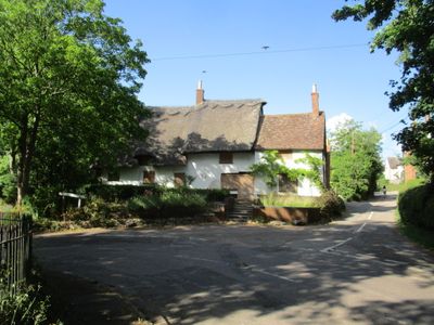
The Nags Head Public House, pub in Hargrave, East Northamptonshire, Northamptonshire, UK
Emplacement : Hargrave
Coordonnées GPS : 52.32442,-0.47989
Dernière mise à jour : 2 mars 2025 à 23:47
Yielden Castle
4.4 km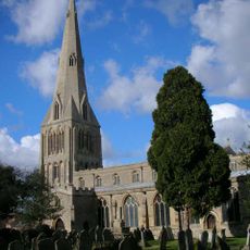
Church of St Peter Parish Church of St Peter
4.4 km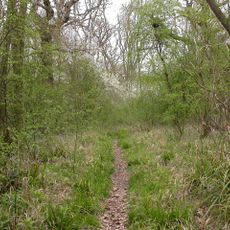
Swineshead Wood
4.5 km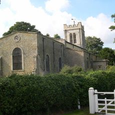
Church of St Mary Magdalene, Melchbourne
5.4 km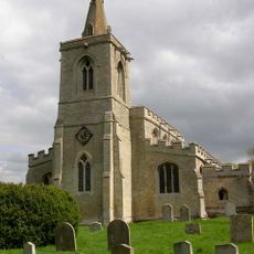
Church of All Saints, Upper Dean
3.2 km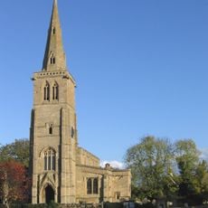
Church of St Nicholas, Swineshead
5.3 km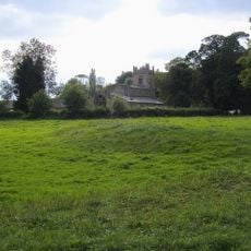
Church of St Mary the Virgin, Shelton, North Bedfordshire
1.9 km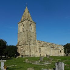
Church of St Mary the Virgin, Yielden
4.4 km
Yelden Meadows
4.3 km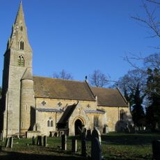
Church of All Saints And Chest Tomb Attached To North Aisle
52 m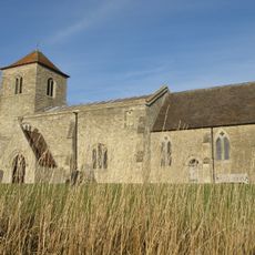
All Saints Church
1.7 km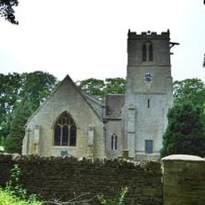
Church of St John the Baptist
5.1 km
Church of All Saints
4.6 km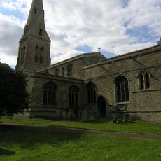
Parish Church of St John the Baptist
4.8 km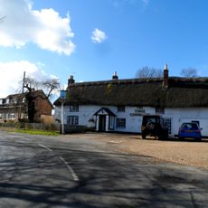
The Three Compasses Public House
3.1 km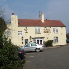
The White Horse Public House
4.3 km
White Hart Public House
5.4 km
Castle Cottage
4.4 km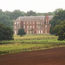
Melchbourne House
5.4 km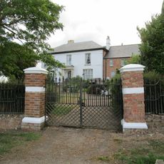
Bythorn House
5.5 km
Milestone About 1/4 Mile North Of Bustard Hill
5 km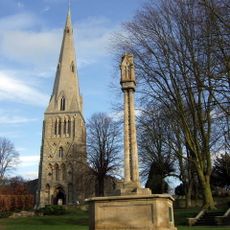
Raunds War Memorial
4.4 km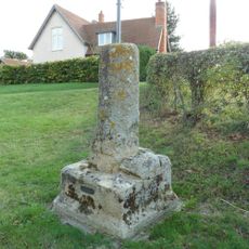
Village Cross
4.6 km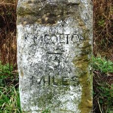
Milestone K3 on highway B660 at TL0869372088
5.2 km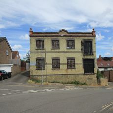
Wescam Engineering (Ernest Chambers Heel Factory)
4.3 km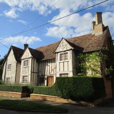
Lodge Farmhouse
3.2 km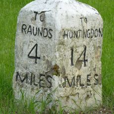
Milestone, Raunds Road, Keyston at jct with The Loop
4.5 km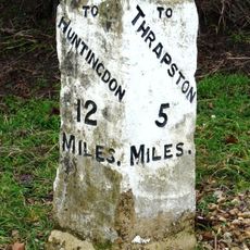
Milestone Circa 10 Metres To West Of The Cottage
5.4 kmVous avez visité ce lieu ? Touchez les étoiles pour le noter et partager votre expérience ou vos photos avec la communauté ! Essayez maintenant ! Vous pouvez annuler à tout moment.
Trouvez des trésors cachés à chaque coin de rue !
Des petits cafés pittoresques aux points de vue planqués, fuyez la foule et dénichez les lieux qui vous ressemblent vraiment. Notre app vous facilite la vie : recherche vocale, filtres malins, itinéraires optimisés et bons plans partagés par des voyageurs du monde entier. Téléchargez vite pour vivre l'aventure en version mobile !

Une approche inédite de la découverte touristique❞
— Le Figaro
Tous les lieux qui valent la peine d'être explorés❞
— France Info
Une excursion sur mesure en quelques clics❞
— 20 Minutes