
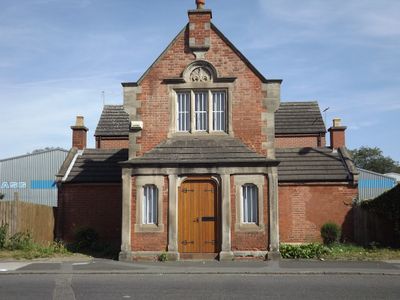
997, London Road, tollhouse in City of Derby, Derbyshire, UK
Emplacement : City of Derby
Coordonnées GPS : 52.90272,-1.43947
Dernière mise à jour : 7 mars 2025 à 09:48
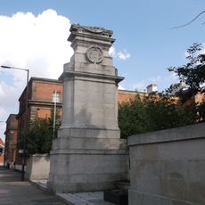
Midland Railway War Memorial
2.2 km
Midland Hotel
2.2 km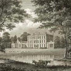
Osmaston Hall
1.1 km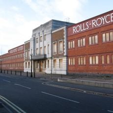
Marble Hall
1.5 km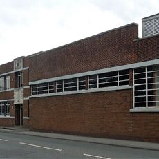
LMS Scientific Research Laboratory
1.5 km
The Sanctuary
1.1 km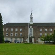
Derby Conference Centre
641 m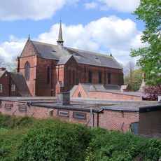
St Osmund's Church
494 m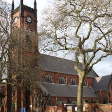
Église de la Sainte-Trinité
2.6 km
Church of St Thomas the Apostle
2.5 km
Church of St Mary
1.2 km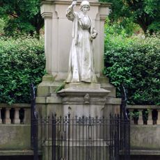
Statue de Florence Nightingale
2.6 km
Church of St Michael
1.6 km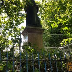
Queen Victoria Statue In Grounds Of Derbyshire Royal Infirmary
2.5 km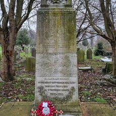
Nottingham Road War Memorial
2.6 km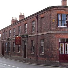
Brunswick Tavern
2.4 km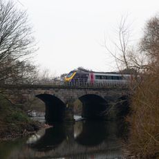
Derwent Bridge (Spc8 1(D7))
2.5 km
Entrance Lodge Of Arboretum
2.4 km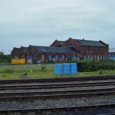
Former Railway Workshop At Derby Railway Works
2.2 km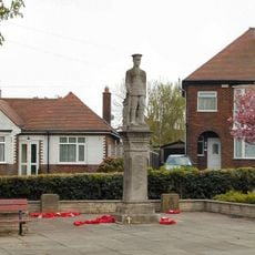
Allenton War Memorial
2.2 km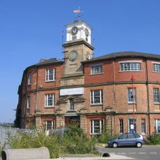
Clock tower (remains of the original Midland Region Railway Station)
2.1 km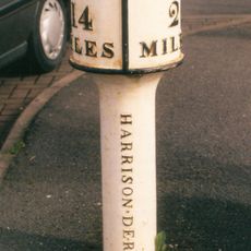
Milepost, Chaddesdon, shopping area
2.4 km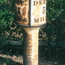
Milepost, Cherry Tree Hill; near Asda supermarket
2.3 km
Livesages Almshouses
2.6 km
Entrance Lodge Of Arboretum
2.6 km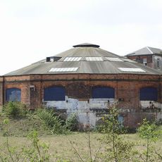
Former engine shed (remains of the original Midland Region Railway Station)
2.1 km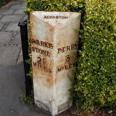
Milepost, Allenton, Shelton Lock
2.2 km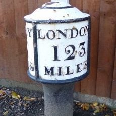
Milepost, Derby Road, Alvaston
1.3 kmVous avez visité ce lieu ? Touchez les étoiles pour le noter et partager votre expérience ou vos photos avec la communauté ! Essayez maintenant ! Vous pouvez annuler à tout moment.
Trouvez des trésors cachés à chaque coin de rue !
Des petits cafés pittoresques aux points de vue planqués, fuyez la foule et dénichez les lieux qui vous ressemblent vraiment. Notre app vous facilite la vie : recherche vocale, filtres malins, itinéraires optimisés et bons plans partagés par des voyageurs du monde entier. Téléchargez vite pour vivre l'aventure en version mobile !

Une approche inédite de la découverte touristique❞
— Le Figaro
Tous les lieux qui valent la peine d'être explorés❞
— France Info
Une excursion sur mesure en quelques clics❞
— 20 Minutes