
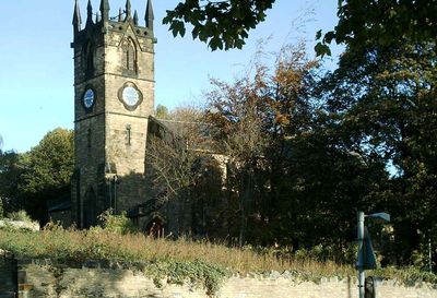
Church of St Thomas, church building in Rotherham, South Yorkshire, UK
Emplacement : Rotherham
Coordonnées GPS : 53.43390,-1.39402
Dernière mise à jour : 4 mars 2025 à 19:31
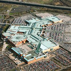
Meadowhall Centre
2.4 km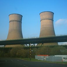
Tinsley Viaduct
2 km
Magna Science Adventure Centre
1.6 km
Man of Steel
1.3 km
Keppel's Column
2.1 km
All Saints Church, Rotherham
2.5 km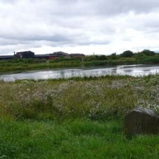
Blackburn Meadows
1.5 km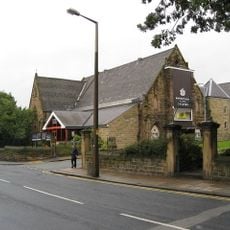
Rotherham Civic Theatre and Arts Centre
2.8 km
Clifton Park Museum
3.2 km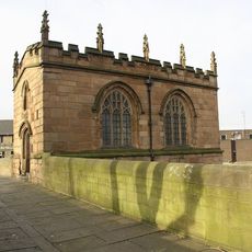
Rotherham Bridge
2.4 km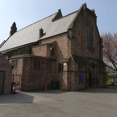
St Bede's Church, Rotherham
1.8 km
Rotherham Town Hall
2.6 km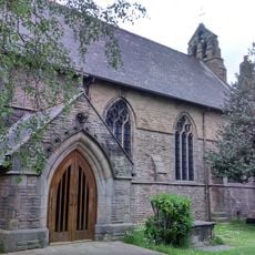
Church of St Lawrence
2.5 km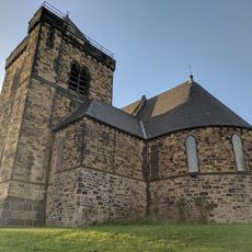
Church of St Thomas
2.2 km
Church of St Mary
2.9 km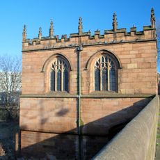
Chapel of Our Lady
2.4 km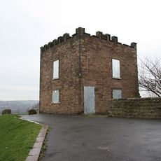
Boston Castle
3.1 km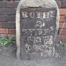
Milestone, Templeborough, at jct of Deadmans Hole Lane, W of Magna
1.7 km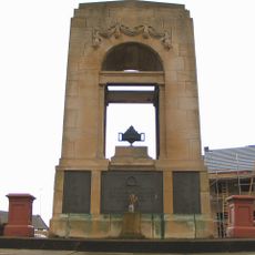
Greasbrough War Memorial And Railed Enclosure
2.9 km
Rotherham War Memorial
3 km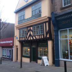
25 and 27, High Street
2.5 km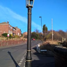
Sewer Gas Lamp at Junction with Tipton Lane
2.9 km
Boundary Walls And Gate Piers To Church Of St Thomas
2.2 km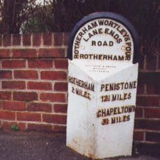
Milepost Opposite Junction With Old Wortley Road
701 m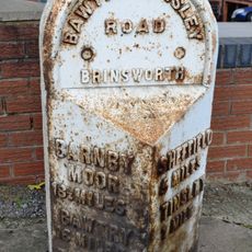
Milepost Opposite Junction With Bonet Lane
3 km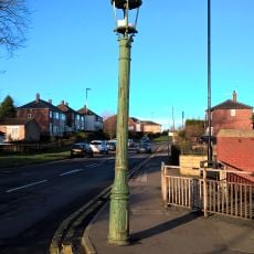
Sewer Gas Lamp at Junction with Monckton Road
3.2 km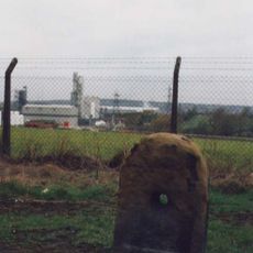
Milestone, Bawtry Road, Brinsworth, 150m W of Bonet Lane opp pedestrian refuge in road
3.1 km
Enchanted Chairs
3.2 kmVous avez visité ce lieu ? Touchez les étoiles pour le noter et partager votre expérience ou vos photos avec la communauté ! Essayez maintenant ! Vous pouvez annuler à tout moment.
Trouvez des trésors cachés à chaque coin de rue !
Des petits cafés pittoresques aux points de vue planqués, fuyez la foule et dénichez les lieux qui vous ressemblent vraiment. Notre app vous facilite la vie : recherche vocale, filtres malins, itinéraires optimisés et bons plans partagés par des voyageurs du monde entier. Téléchargez vite pour vivre l'aventure en version mobile !

Une approche inédite de la découverte touristique❞
— Le Figaro
Tous les lieux qui valent la peine d'être explorés❞
— France Info
Une excursion sur mesure en quelques clics❞
— 20 Minutes