
2 Shelter Sheds South East Of Wiserley Farmhouse, building in Wolsingham, County Durham, UK
Emplacement : Wolsingham
Coordonnées GPS : 54.72099,-1.86847
Dernière mise à jour : 14 novembre 2025 à 16:46
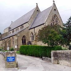
Church of St Thomas of Canterbury
1.5 km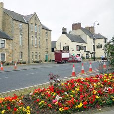
Former Primitive Methodist Chapel
1.4 km
School South East Of Church Of St Thomas
1.5 km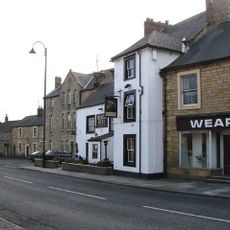
Black Bull Public House
1.4 km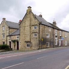
Old Bank House
1.6 km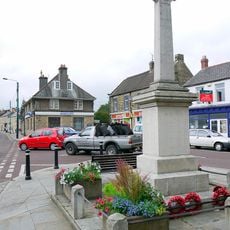
Wolsingham War Memorial
1.4 km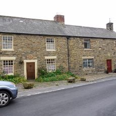
8, Meadhope Street
1.4 km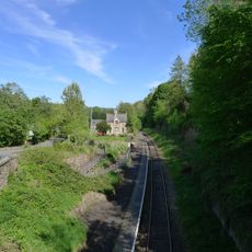
Former Railway Station
1.2 km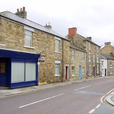
Rivendell
1.5 km
Wiserley Hall Farmhouse
21 m
Privy To Rear Of Wiserley Hall Farmhouse
42 m
Chatterley Farmhouse
1.1 km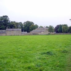
Demesne Hall
1.6 km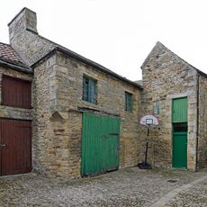
Former Chapel And Buildings Adjoining
1.5 km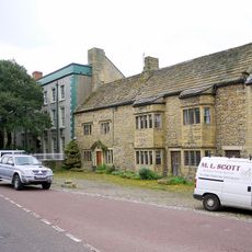
Whitfield House
1.5 km
1, High Street
1.6 km
Cleadon House
1.5 km
Gin Gang And Barn North Of Scotch Isle Farmhouse
567 m
Farm Building North Of Wiserley Hall Farmhouse
27 m
Shelter Shed South East Of Wiserley Farmhouse
12 m
The Surgery And Mounting Block
1.4 km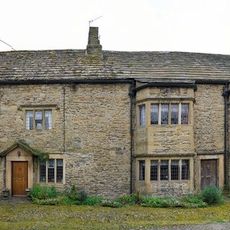
Whitfield Cottages
1.5 km
Coach House To Demesne Hall
1.6 km
Former School Attached To Former Chapel
1.5 km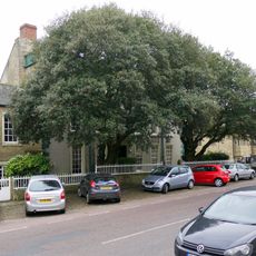
Whitfield House Cottage
1.5 km
Wall on West Side of Garden to Rear of Whitfield House
1.5 km
Former Wesleyan Methodist Chapel
1.5 km
South Building Of Weardale Steel (Wolsingham) Limited
625 mAvis
Vous avez visité ce lieu ? Touchez les étoiles pour le noter et partager votre expérience ou vos photos avec la communauté ! Essayez maintenant ! Vous pouvez annuler à tout moment.
Trouvez des trésors cachés à chaque coin de rue !
Des petits cafés pittoresques aux points de vue planqués, fuyez la foule et dénichez les lieux qui vous ressemblent vraiment. Notre app vous facilite la vie : recherche vocale, filtres malins, itinéraires optimisés et bons plans partagés par des voyageurs du monde entier. Téléchargez vite pour vivre l'aventure en version mobile !

Une approche inédite de la découverte touristique❞
— Le Figaro
Tous les lieux qui valent la peine d'être explorés❞
— France Info
Une excursion sur mesure en quelques clics❞
— 20 Minutes