
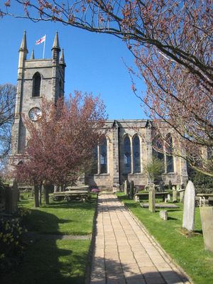
Church of St Mary, Belford, church building in Belford, Northumberland, UK
Emplacement : Belford
Coordonnées GPS : 55.59951,-1.82936
Dernière mise à jour : 8 mars 2025 à 08:53
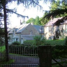
Adderstone Hall
4.9 km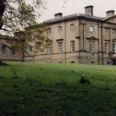
Belford Hall
354 m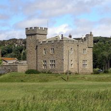
Westhall
481 m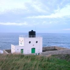
Phare de Bamburgh
6.9 km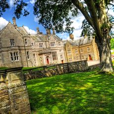
Middleton Hall
2.1 km
Colour Heugh and Bowden Doors
4.1 km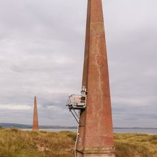
Phare de Guile Point East
6.9 km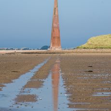
Guile Point West mark
6.9 km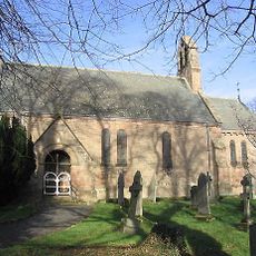
Church of St Hilda
5.8 km
Bamburgh Lighthouse
6.9 km
The Blue Bell Hotel
71 m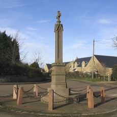
Lucker War Memorial
5.7 km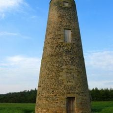
Spindlestone Ducket
3.9 km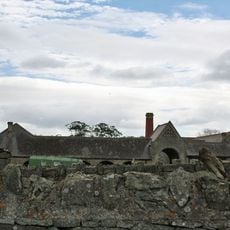
Farmbuildings Circa 50 Yards East Of Spindlestone Farmhouse
4.4 km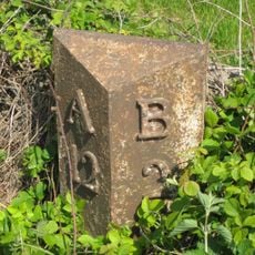
Milepost Circa 100 Yards South Of Junction With B6348
4 km
Navigation beacons at north end of Ross Links
6.9 km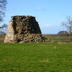
Buckton Dovecote
5.4 km
Belford Station
1.7 km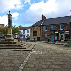
Market Cross In Front Of Blue Bell Hotel
86 m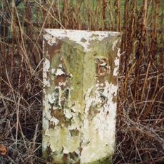
Milepost Circa 100 Yard South East Of Twizell North Lodge
5.5 km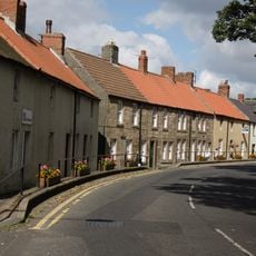
38-46, High Street
242 m
Twizell North Lodge
5.4 km
Buckton Moor North camp
6.2 km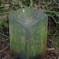
Milepost, Warenford
6 km
Paddock Walls And Dovecote Circa 60 Yards North Of Lucker Hall
5.6 km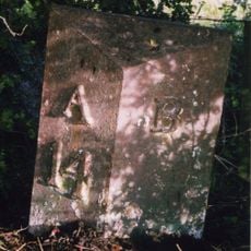
Milepost, 14m S of Meadows Farm entrance
849 m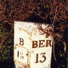
Milepost, Middleton
2.2 km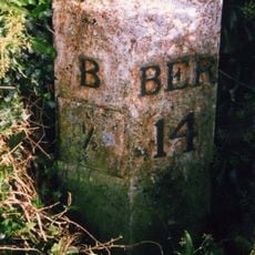
Milepost, North Bank
657 mVous avez visité ce lieu ? Touchez les étoiles pour le noter et partager votre expérience ou vos photos avec la communauté ! Essayez maintenant ! Vous pouvez annuler à tout moment.
Trouvez des trésors cachés à chaque coin de rue !
Des petits cafés pittoresques aux points de vue planqués, fuyez la foule et dénichez les lieux qui vous ressemblent vraiment. Notre app vous facilite la vie : recherche vocale, filtres malins, itinéraires optimisés et bons plans partagés par des voyageurs du monde entier. Téléchargez vite pour vivre l'aventure en version mobile !

Une approche inédite de la découverte touristique❞
— Le Figaro
Tous les lieux qui valent la peine d'être explorés❞
— France Info
Une excursion sur mesure en quelques clics❞
— 20 Minutes