
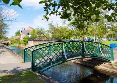
Iron Footbridge Spanning River Lean, footbridge in City of Nottingham, Nottinghamshire, UK
Emplacement : City of Nottingham
Coordonnées GPS : 52.99916,-1.19666
Dernière mise à jour : 7 mars 2025 à 12:18
Nuthall Temple
2.5 km
St. Leodegarius Church, Basford
2.5 km
Church of St. Mary the Virgin and All Souls, Bulwell
196 m
St. Margaret's Church, Aspley
3.3 km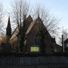
Christ Church, Cinderhill
1.7 km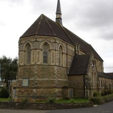
Church of St. John the Divine, Bulwell
733 m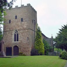
St Patrick's Church, Nuthall
2.5 km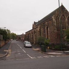
St. Aidan's Church, Basford
1.8 km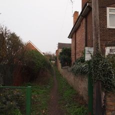
Bagthorpe Gardens
3.6 km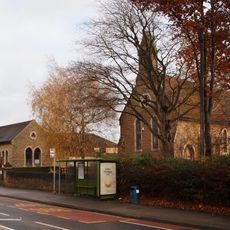
Church of St. John the Evangelist, Hucknall
3.4 km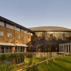
DoubleTree by Hilton Hotel Nottingham - Gateway
1.5 km
Emmanuel Church
3 km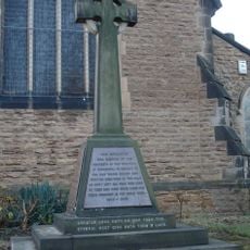
Cinderhill War Memorial at East End of Christ Church
1.7 km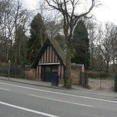
Scout War Memorial Gateway
3 km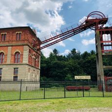
Winding Engine House
3 km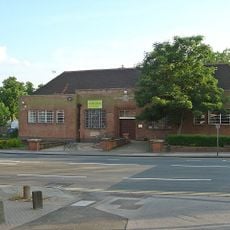
Aspley Library
2.4 km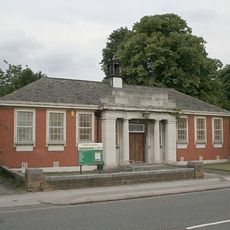
Basford Library
2 km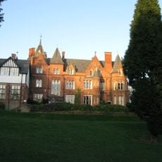
Bestwood Lodge Hotel And Terrace Wall
3.3 km
Strelley Road Library
3.1 km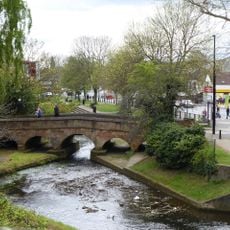
Stone Bridge Spanning River Leen
102 m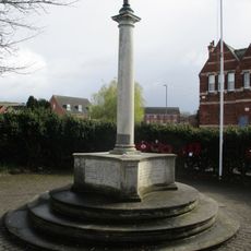
Bestwood War Memorial
2.9 km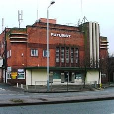
Futurist Cinema
2.6 km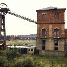
Winding House And Headstocks At Bestwood Colliery
3 km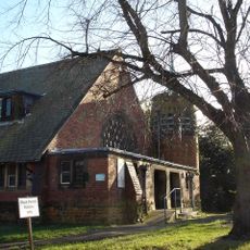
Hospital Church Of St Luke At City Hospital
2.7 km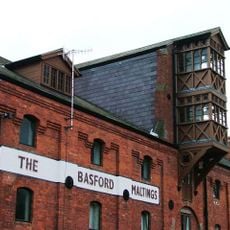
Maltings
2.3 km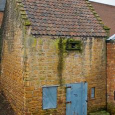
Bulwell Dovecote
283 m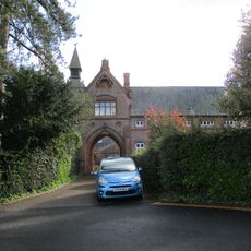
Stable Court At Bestwood Lodge Hotel
3.3 km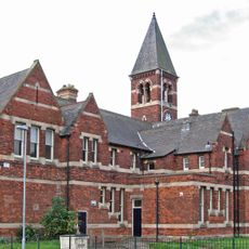
The Clock Tower, formerly the general offices of the Bestwood Coal and Iron Company
2.9 kmAvis
Vous avez visité ce lieu ? Touchez les étoiles pour le noter et partager votre expérience ou vos photos avec la communauté ! Essayez maintenant ! Vous pouvez annuler à tout moment.
Trouvez des trésors cachés à chaque coin de rue !
Des petits cafés pittoresques aux points de vue planqués, fuyez la foule et dénichez les lieux qui vous ressemblent vraiment. Notre app vous facilite la vie : recherche vocale, filtres malins, itinéraires optimisés et bons plans partagés par des voyageurs du monde entier. Téléchargez vite pour vivre l'aventure en version mobile !

Une approche inédite de la découverte touristique❞
— Le Figaro
Tous les lieux qui valent la peine d'être explorés❞
— France Info
Une excursion sur mesure en quelques clics❞
— 20 Minutes