
The Manse, clergy house in Stroud, Stroud, Gloucestershire, UK
Emplacement : Stroud
Coordonnées GPS : 51.74315,-2.21494
Dernière mise à jour : 11 juin 2025 à 20:32
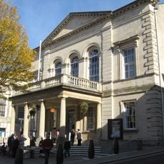
Stroud Subscription Rooms
245 m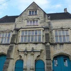
Town Hall
275 m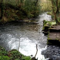
Frome Banks
149 m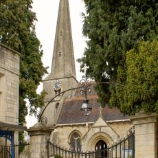
Church of St Laurence
319 m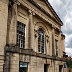
Congregational Church
275 m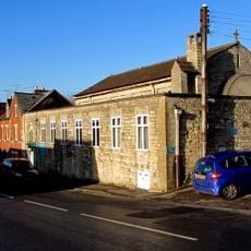
Church of Saint Alban
404 m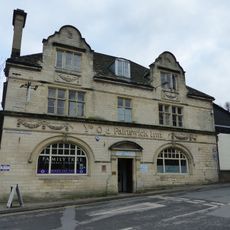
Ye Old Painswick Inn
438 m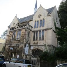
Stroud Spiritualist Church
380 m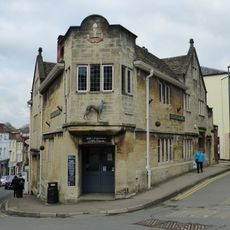
The Greyhound Inn Public House
369 m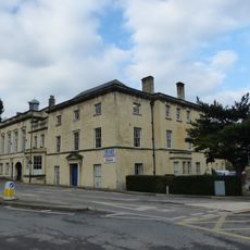
Willow Court, The Old Court House and Willow House
494 m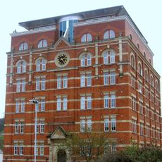
Hill Paul building
316 m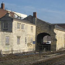
The Goods Shed
185 m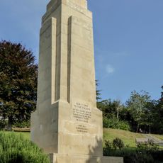
Stroud War Memorial
529 m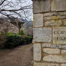
Corbett House And Corbett House Lodge
154 m
The Cooperative Stores
339 m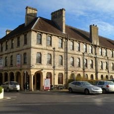
Imperial Hotel
330 m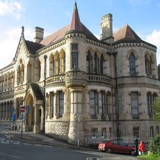
School Of Science And Art
427 m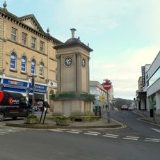
Clock Tower
232 m
57, High Street
272 m
District Council Offices
340 m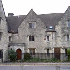
The Vicarage/garden railings at The Vicarage
360 m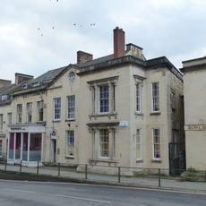
Numbers 1 to 10 (consecutive) including iron railings to areas of Numbers 1, 2, 3 and 6
385 m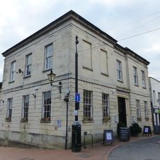
9, John Street
147 m
58, High Street
283 m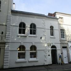
2, Lansdown
380 m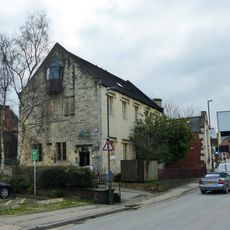
British School, including railings to street
453 m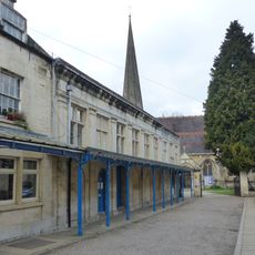
Church Hall
276 m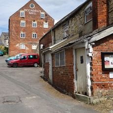
Piccadilly Mill East Block (Misters Wilkes)
337 mAvis
Vous avez visité ce lieu ? Touchez les étoiles pour le noter et partager votre expérience ou vos photos avec la communauté ! Essayez maintenant ! Vous pouvez annuler à tout moment.
Trouvez des trésors cachés à chaque coin de rue !
Des petits cafés pittoresques aux points de vue planqués, fuyez la foule et dénichez les lieux qui vous ressemblent vraiment. Notre app vous facilite la vie : recherche vocale, filtres malins, itinéraires optimisés et bons plans partagés par des voyageurs du monde entier. Téléchargez vite pour vivre l'aventure en version mobile !

Une approche inédite de la découverte touristique❞
— Le Figaro
Tous les lieux qui valent la peine d'être explorés❞
— France Info
Une excursion sur mesure en quelques clics❞
— 20 Minutes