
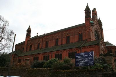
Terrace And Boundary Walls At Church Of St Paul, building in Gedling, Nottinghamshire, UK
Emplacement : Gedling
Coordonnées GPS : 52.96605,-1.09077
Dernière mise à jour : 7 mars 2025 à 11:57
Colwick Hall
2.5 km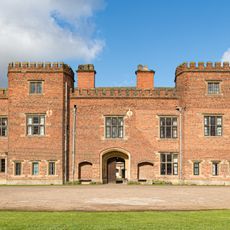
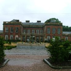
Holme Pierrepont Hall
2.6 km
Green's Mill, Sneinton
3 km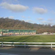
Nottingham Greyhound Stadium
2.1 km
Burrows Court
2.6 km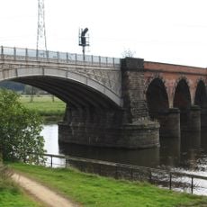
Rectory Junction Viaduct
3 km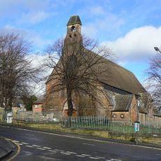
St. Matthias' Church, Nottingham
2.8 km
St Ann's Allotments
2.9 km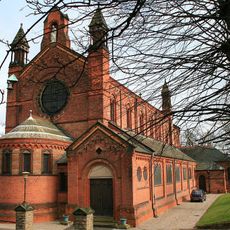
St. Paul's Church, Carlton-in-the-Willows
37 m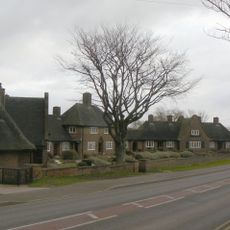
Mary Hardstaff Homes
1.5 km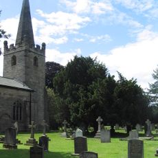
St. Edmund's Church, Holme Pierrepont
2.6 km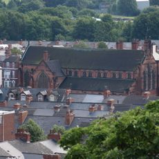
St. Christopher's Church, Sneinton
2.9 km
St. Cyprian's Church, Sneinton
1.5 km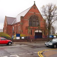
Mapperley Methodist Church
3 km
St. Paul's Church, Hyson Green
1.8 km
Boulevard United Reformed Church
1.8 km
Dales United Reformed Church
1.2 km
Church of All Hallows
1.4 km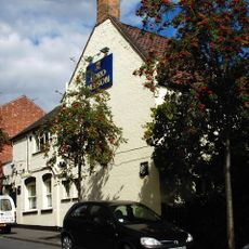
Lord Nelson Public House
2.9 km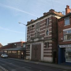
Regal Cinema
571 m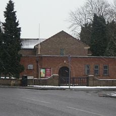
St John the Baptist
1.2 km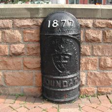
Boundary Mark On Island At Junction With Woodthorpe Drive
2.9 km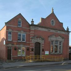
Carlton Library
646 m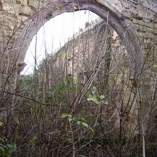
Ruins of Church of St John the Baptist
2.5 km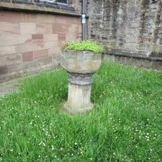
Font 2 Metres South Of West End At Church Of All Hallows
1.4 km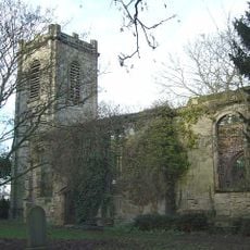
St John Baptist's Church and graveyard, Colwick
2.5 km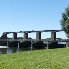
Holme Sluices
2 km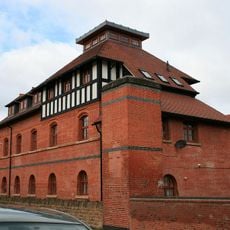
Carlton Laundry
460 mAvis
Vous avez visité ce lieu ? Touchez les étoiles pour le noter et partager votre expérience ou vos photos avec la communauté ! Essayez maintenant ! Vous pouvez annuler à tout moment.
Trouvez des trésors cachés à chaque coin de rue !
Des petits cafés pittoresques aux points de vue planqués, fuyez la foule et dénichez les lieux qui vous ressemblent vraiment. Notre app vous facilite la vie : recherche vocale, filtres malins, itinéraires optimisés et bons plans partagés par des voyageurs du monde entier. Téléchargez vite pour vivre l'aventure en version mobile !

Une approche inédite de la découverte touristique❞
— Le Figaro
Tous les lieux qui valent la peine d'être explorés❞
— France Info
Une excursion sur mesure en quelques clics❞
— 20 Minutes