
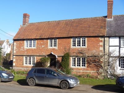
11, High Street, building in Steeple Ashton, Wiltshire, UK
Emplacement : Steeple Ashton
Coordonnées GPS : 51.31147,-2.13523
Dernière mise à jour : 5 avril 2025 à 01:06

Church of St Mary the Virgin
183 m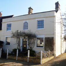
Church Street House
52 m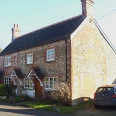
15 17, Church Street
15 m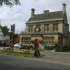
The Longs Arms
123 m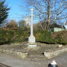
Steeple Ashton War Memorial
26 m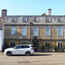
Ashton House
53 m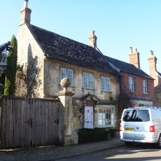
Steeple Ashton Post Office
30 m
The Market Cross
51 m
Church Farmhouse
165 m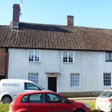
36, High Street
73 m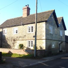
The Old Farmhouse
121 m
17, High Street
32 m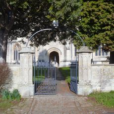
Gate Piers And Gates To South Entrance To Churchyard Of Church Of St Mary
148 m
Sundial House
43 m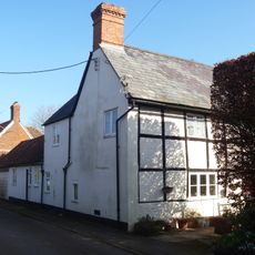
18, The Strand
121 m
Moorfield Farmhouse
114 m
Walls And Gate Piers To Right Of Ashton House
36 m
The Lodge
74 m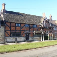
40, High Street
97 m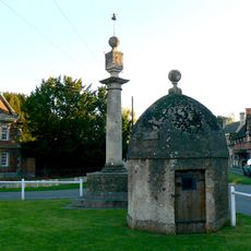
Lock up and market cross on the green
44 m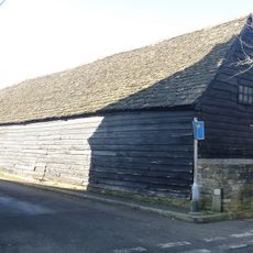
Barn At Number 46
175 m
2 4, The Strand
61 m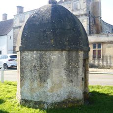
Blind House
47 m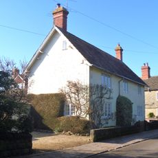
Thorn House
100 m
20 22, High Street
73 m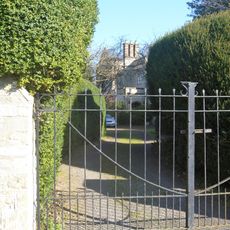
The Old Parsonage
113 m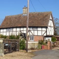
The Sanctuary
172 m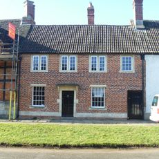
38, High Street
81 mVous avez visité ce lieu ? Touchez les étoiles pour le noter et partager votre expérience ou vos photos avec la communauté ! Essayez maintenant ! Vous pouvez annuler à tout moment.
Trouvez des trésors cachés à chaque coin de rue !
Des petits cafés pittoresques aux points de vue planqués, fuyez la foule et dénichez les lieux qui vous ressemblent vraiment. Notre app vous facilite la vie : recherche vocale, filtres malins, itinéraires optimisés et bons plans partagés par des voyageurs du monde entier. Téléchargez vite pour vivre l'aventure en version mobile !

Une approche inédite de la découverte touristique❞
— Le Figaro
Tous les lieux qui valent la peine d'être explorés❞
— France Info
Une excursion sur mesure en quelques clics❞
— 20 Minutes