
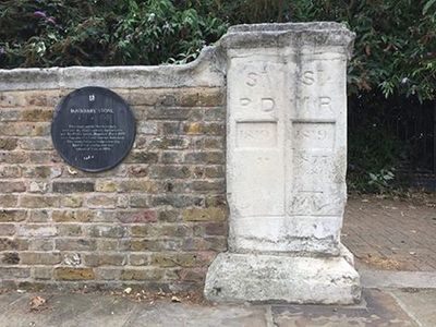
Parish Boundary Stone, Wall And Pier, boundary marker in Southwark, Greater London, UK
Emplacement : London Borough of Southwark
Fait partie de : political border
Coordonnées GPS : 51.49327,-0.03357
Dernière mise à jour : 3 mars 2025 à 00:21
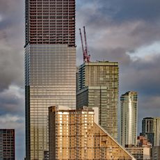
Landmark Pinnacle
1.2 km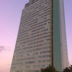
Aragon Tower
320 m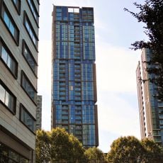
Maine Tower
1.1 km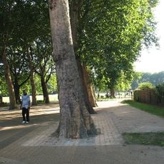
Deptford Park
848 m
The Space
1.1 km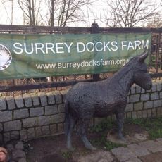
Surrey Docks Farm
716 m
Baltic Quay
319 m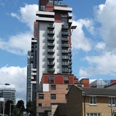
Phoenix Heights
1.2 km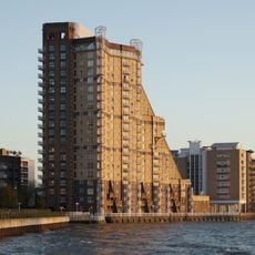
Cascades
1.2 km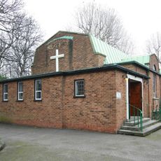
Holy Trinity Church, Rotherhithe
807 m
Swedish Quays
281 m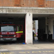
Deptford Fire Station
948 m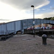
Footbridge Over Greenland Dock
260 m
The Plate House
1.1 km
The Forge, Millwall
1.1 km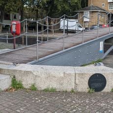
Swing Bridge Over Cutting Between Greenland Dock And Norway Dock
345 m
1-37 Burrells Wharf Square
1.2 km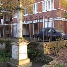
Rotherhithe (Holy Trinity) War Memorial
789 m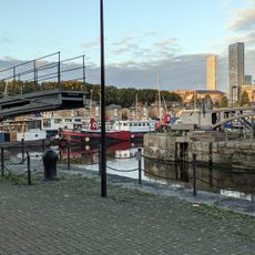
Swing Footbridge Over Steelyard Cut
242 m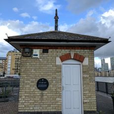
Tide Gauge House On South Quay Of Greenland Lock
270 m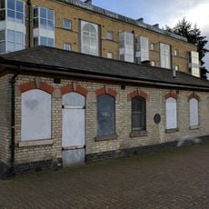
Lock Keepers Cabin And Storeroom On South Quay Of Greenland Lock
246 m
Greenland Lock Including Gates, Bollards And Capstans
282 m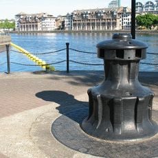
Capstan, Greenland Dock
530 m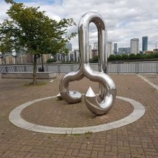
Curlicue
319 m
Boundary Wall To Convoy's Wharf
1.1 km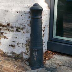
Cast Iron Bollard At Junction With Watergate Street
1.1 km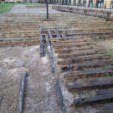
Site of the launch ways of the SS Great Eastern
1 km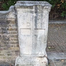
Parish Boundary Stone
74 mAvis
Vous avez visité ce lieu ? Touchez les étoiles pour le noter et partager votre expérience ou vos photos avec la communauté ! Essayez maintenant ! Vous pouvez annuler à tout moment.
Trouvez des trésors cachés à chaque coin de rue !
Des petits cafés pittoresques aux points de vue planqués, fuyez la foule et dénichez les lieux qui vous ressemblent vraiment. Notre app vous facilite la vie : recherche vocale, filtres malins, itinéraires optimisés et bons plans partagés par des voyageurs du monde entier. Téléchargez vite pour vivre l'aventure en version mobile !

Une approche inédite de la découverte touristique❞
— Le Figaro
Tous les lieux qui valent la peine d'être explorés❞
— France Info
Une excursion sur mesure en quelques clics❞
— 20 Minutes