
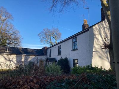
31, Parsonage Road, Grade II listed building in Stockport, Greater Manchester, UK
Emplacement : Stockport
Coordonnées GPS : 53.42101,-2.18214
Dernière mise à jour : 3 mars 2025 à 20:10

Stockport Pyramid
1.5 km
Broadstone Mill, Reddish
1.9 km
Christ Church, Heaton Norris
1.2 km
Wear Mill
1.7 km
Nursery Inn
759 m
St Margaret's Church
1.7 km
Mauldeth Hall
1.1 km
Church of St Andrew
1.8 km
Church of St Paul
295 m
War memorial to front of Church of St Paul
253 m
Crown Inn
1.7 km
1 and 3, Highfield Park
1.4 km
Wycliffe Congregational Chapel
1.3 km
Wellington Bridge
1.9 km
Swan With Two Necks Public House
1.7 km
Savoy Cinema
495 m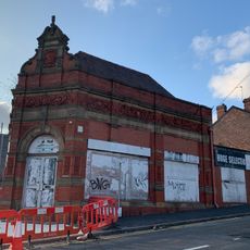
52, Wellington Road North
1.4 km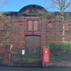
Heaton Moor Electricity Substation
476 m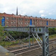
Former London and North Western Railway Goods Warehouse
1.2 km
Pendlebury Hall
1.6 km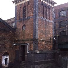
Engine house to former London and North Western Railway Goods Warehouse
1.1 km
Hollywood Park Centre
1.8 km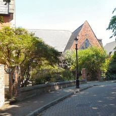
St Johns Church Of England Primary School
1.8 km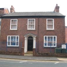
213, Chestergate
1.7 km
223-245, Green Lane
608 m
Shores Fold Farmhouse
1.5 km
Peel Moat
1 km
Milestone, Stockport Road, Levenshulme; opp. jcn Cringle Rd by No. 1156
1.8 kmVous avez visité ce lieu ? Touchez les étoiles pour le noter et partager votre expérience ou vos photos avec la communauté ! Essayez maintenant ! Vous pouvez annuler à tout moment.
Trouvez des trésors cachés à chaque coin de rue !
Des petits cafés pittoresques aux points de vue planqués, fuyez la foule et dénichez les lieux qui vous ressemblent vraiment. Notre app vous facilite la vie : recherche vocale, filtres malins, itinéraires optimisés et bons plans partagés par des voyageurs du monde entier. Téléchargez vite pour vivre l'aventure en version mobile !

Une approche inédite de la découverte touristique❞
— Le Figaro
Tous les lieux qui valent la peine d'être explorés❞
— France Info
Une excursion sur mesure en quelques clics❞
— 20 Minutes