
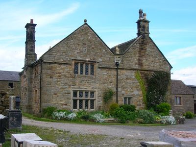
Manor House Farmhouse, Grade II listed farmhouse in the parish of Ashover, North East Derbyshire, Derbyshire, UK
Emplacement : Ashover
Coordonnées GPS : 53.18800,-1.46109
Dernière mise à jour : 4 mars 2025 à 03:34
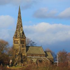
St Bartholomew’s Church, Clay Cross
3.9 km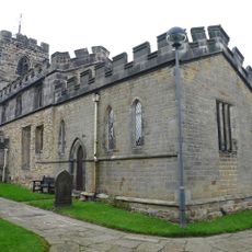
Church of All Saints
2.8 km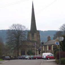
Church of All Saints
2.9 km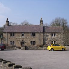
The Miners Arms Public House
4.1 km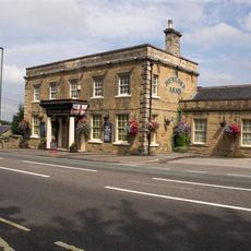
The Hunloke Arms Inn
3.3 km
Stubbing Court
1.4 km
Overton Hall and attached outbuildings
3.8 km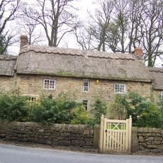
Stubben Edge Cottage
3.9 km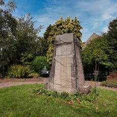
Holymoorside and Walton War Memorial
4.2 km
Dale Cottage Farmhouse
4.2 km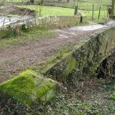
Footbridge
3.2 km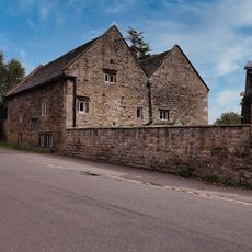
Hipper Hall
4.3 km
Ravensnest and attached farm buildings Ravensnest and The Beeches
4.3 km
Holmgate House
2.5 km
High Ashes Farmhouse
1.3 km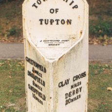
Milepost
2.9 km
K6 telephone kiosk north of West Bank
3 km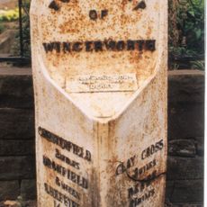
Milepost At Sk 388 674
3.2 km
West Bank, attached wall and gate piers, and attached outbuilding to south
3 km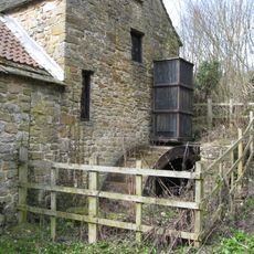
Fallgate Mill
3.6 km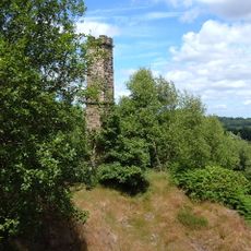
Chimney at Ravensnest
4.4 km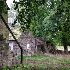
Outbuilding To The South East Of Hipper Hall
4.3 km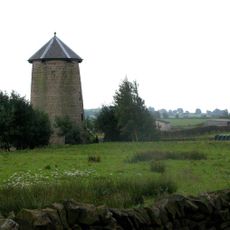
Spann Carr Windmill Tower
1.9 km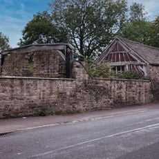
Outbuildings to south west of Hipper Hall
4.3 km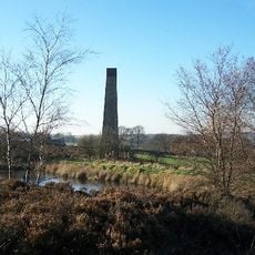
Stone Edge smelt mill at Moss Farm
2.9 km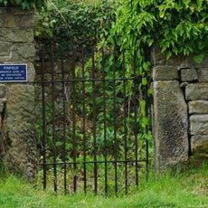
Pound to the south of the Miners Arms
4.2 km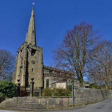
Gatepiers And Steps To The South Of Church Of All Saints
3 km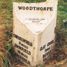
Milepost, N of Clay Cross
3.4 kmVous avez visité ce lieu ? Touchez les étoiles pour le noter et partager votre expérience ou vos photos avec la communauté ! Essayez maintenant ! Vous pouvez annuler à tout moment.
Trouvez des trésors cachés à chaque coin de rue !
Des petits cafés pittoresques aux points de vue planqués, fuyez la foule et dénichez les lieux qui vous ressemblent vraiment. Notre app vous facilite la vie : recherche vocale, filtres malins, itinéraires optimisés et bons plans partagés par des voyageurs du monde entier. Téléchargez vite pour vivre l'aventure en version mobile !

Une approche inédite de la découverte touristique❞
— Le Figaro
Tous les lieux qui valent la peine d'être explorés❞
— France Info
Une excursion sur mesure en quelques clics❞
— 20 Minutes