
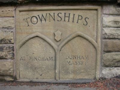
Boundary Stone, boundary marker in Trafford, Greater Manchester, UK
Emplacement : Trafford
Fait partie de : political border
Coordonnées GPS : 53.38299,-2.35658
Dernière mise à jour : 3 mars 2025 à 07:43
Watch Hill Castle
2.2 km
Ashley Hall
2.5 km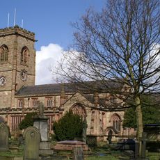
Church of St Mary the Virgin, Bowdon
752 m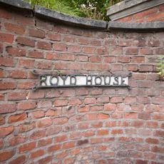
Royd House
2.1 km
St George's Church, Altrincham
861 m
Altrincham Town Hall
609 m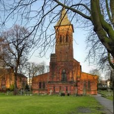
St Alban's Church, Broadheath
2.2 km
Halecroft
2.7 km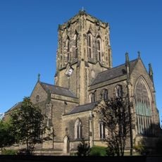
Church of St Margaret
576 m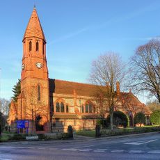
Church of St Peter
1.3 km
7, Church Brow
832 m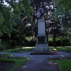
War Memorial at Junction with Broomfield Lane
1.1 km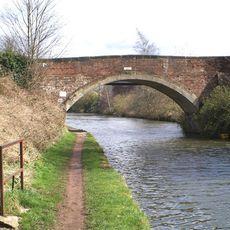
Seamon's Moss Bridge
1.7 km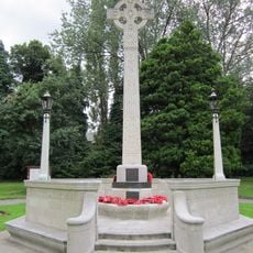
Altrincham And Dunham Massey War Memorial
536 m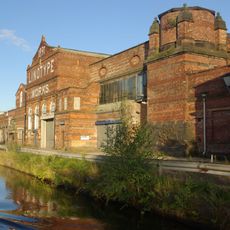
Linotype Works Engine House and Chimney Base
1.5 km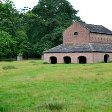
Deer House
2 km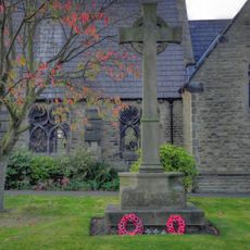
Dunham Town War Memorial
2.4 km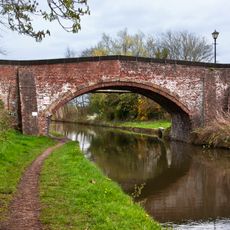
Dunham School Bridge
2.5 km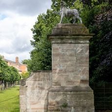
Pier at south east corner of forecourt garden
2.8 km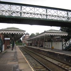
Footbridge, Hale Station
763 m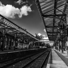
Hale Station, West Platform Building, Canopy And Signal Box
777 m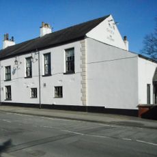
The Griffin
710 m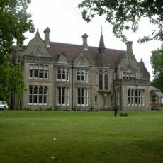
Denzell House
1 km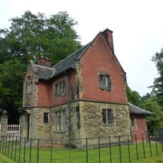
Charcoal Lodge
1.8 km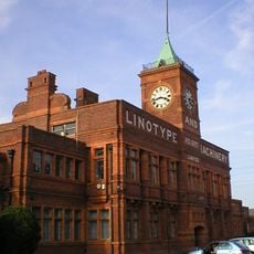
The Main Office Block To The Linotype Works
1.5 km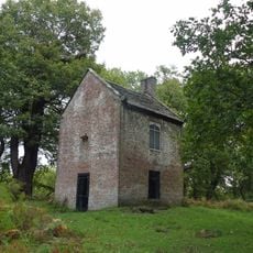
Slaughterhouse
2.4 km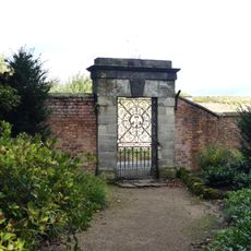
Gateway in bounding wall opposite kitchen gardens
2.7 km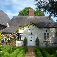
Dunham School
2.5 kmAvis
Vous avez visité ce lieu ? Touchez les étoiles pour le noter et partager votre expérience ou vos photos avec la communauté ! Essayez maintenant ! Vous pouvez annuler à tout moment.
Trouvez des trésors cachés à chaque coin de rue !
Des petits cafés pittoresques aux points de vue planqués, fuyez la foule et dénichez les lieux qui vous ressemblent vraiment. Notre app vous facilite la vie : recherche vocale, filtres malins, itinéraires optimisés et bons plans partagés par des voyageurs du monde entier. Téléchargez vite pour vivre l'aventure en version mobile !

Une approche inédite de la découverte touristique❞
— Le Figaro
Tous les lieux qui valent la peine d'être explorés❞
— France Info
Une excursion sur mesure en quelques clics❞
— 20 Minutes