
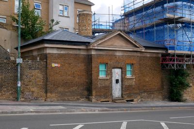
Former West Hill Police Station, police station in Dartford, Kent, UK
Emplacement : Dartford
Coordonnées GPS : 51.44573,0.20972
Dernière mise à jour : 25 septembre 2025 à 18:31
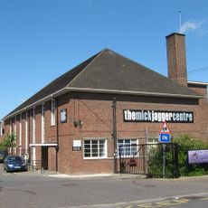
The Mick Jagger Centre
300 m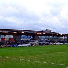
Princes Park
1.8 km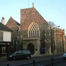
Church of the Holy Trinity
767 m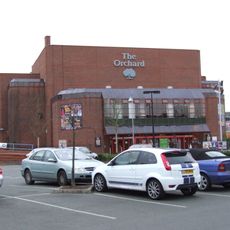
Orchard Theatre
560 m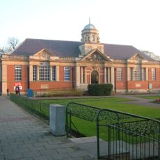
Dartford Library
701 m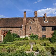
Priory Farmhouse containing the remains of Dartford Priory Gatehouse
361 m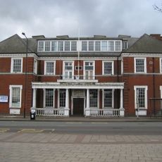
Crayford Town Hall
2.1 km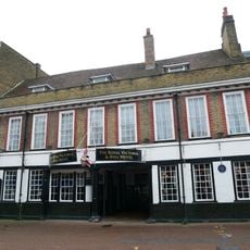
The Royal Victoria And Bull Inn
536 m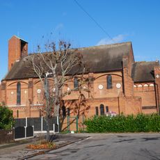
Christ Church
533 m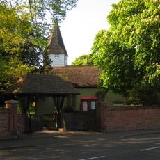
Church of St Michael
1.7 km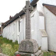
War Memorial in the Churchyard of St Alban's Church
1.3 km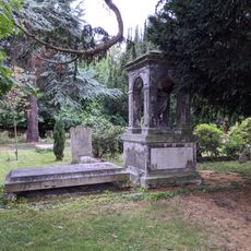
Hulse Memorial In Churchyard To South West Of Church Of St Michael
1.7 km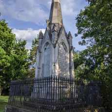
Martyr's Monument In St Edmund's Chartered Graveyard
995 m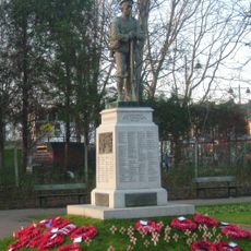
Dartford War Memorial
674 m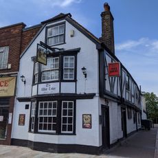
The Wat Tyler Public House
730 m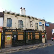
The Two Brewers Public House
551 m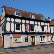
The Royal Oak Public House
271 m
Beadles
366 m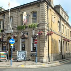
Kent House The County Court
328 m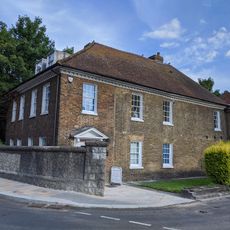
The Bridge House
791 m
45, High Street
675 m
Wilmington House
1.7 km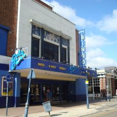
Granada Dartford
364 m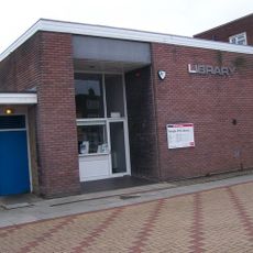
Temple Hill Library
1.3 km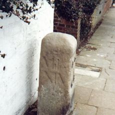
Milestone Opposite Nos 179 And 179A
1 km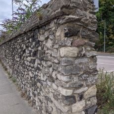
Remains Of Priory Walls In Victoria Road, Kingsfield Terrace And Priory Lane, Including The Doorway In Kingsfield Terrace
522 m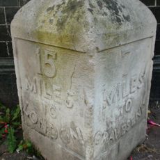
Milestone, High Street, by No.1 , The Royal Victoria and Bull Hotel
570 m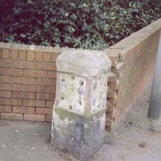
Milestone, London Road, E side of Lingfield Avenue, opp. Milestone Road
2.2 kmVous avez visité ce lieu ? Touchez les étoiles pour le noter et partager votre expérience ou vos photos avec la communauté ! Essayez maintenant ! Vous pouvez annuler à tout moment.
Trouvez des trésors cachés à chaque coin de rue !
Des petits cafés pittoresques aux points de vue planqués, fuyez la foule et dénichez les lieux qui vous ressemblent vraiment. Notre app vous facilite la vie : recherche vocale, filtres malins, itinéraires optimisés et bons plans partagés par des voyageurs du monde entier. Téléchargez vite pour vivre l'aventure en version mobile !

Une approche inédite de la découverte touristique❞
— Le Figaro
Tous les lieux qui valent la peine d'être explorés❞
— France Info
Une excursion sur mesure en quelques clics❞
— 20 Minutes