
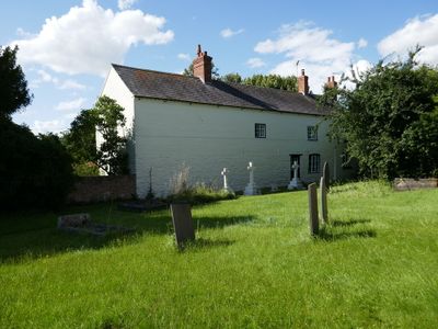
Manor Farmhouse, farmhouse in Thoroton, Rushcliffe, Nottinghamshire, UK
Emplacement : Thoroton
Coordonnées GPS : 52.97487,-0.86279
Dernière mise à jour : 3 mars 2025 à 13:14
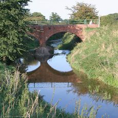
River Smite
3.6 km
Aslockton Castle
3.1 km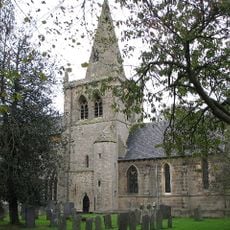
Church of St. John of Beverley, Whatton
3.5 km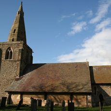
Church of St. John of Beverley, Scarrington
3.1 km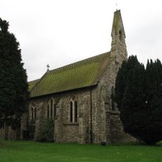
St. Thomas' Church, Aslockton
3.2 km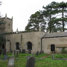
St. Michael and All Angels' Church, Elton on the Hill
3.8 km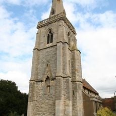
St. Helena's Church, Thoroton
19 m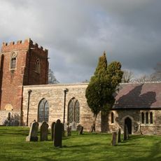
Church of St. Mary and All Saints, Hawksworth
1.5 km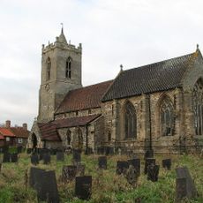
St Mary's Church, Car Colston
4.4 km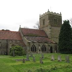
St Wilfrid's Church, Screveton
3.7 km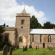
Church of St Augustine
4.4 km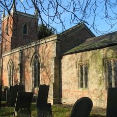
Church of St Peter
1.8 km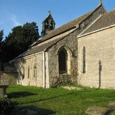
Church of St Mary
2.6 km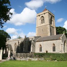
Church of St Mary
4.1 km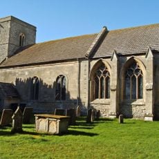
Church of St Peter
2.9 km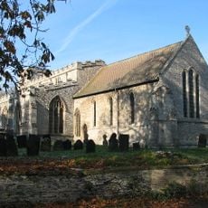
Church of St Mary
1.5 km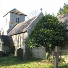
Church of St Mary
3.6 km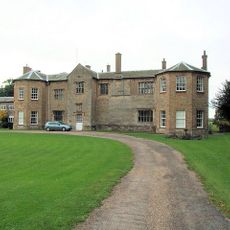
Staunton Hall and service wing
4.2 km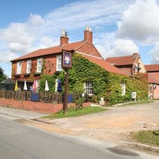
The Staunton Arms Public House
4.3 km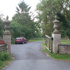
Gate piers and urns at main entrance to Staunton Hall
4.2 km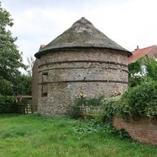
Thoroton Pigeoncote
266 m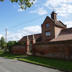
Model Farm Buildings At Top Farm
1.5 km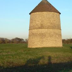
Sibthorpe Dovecote
2.8 km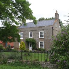
Manor House
3.5 km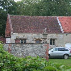
Garage at Staunton Hall
4.2 km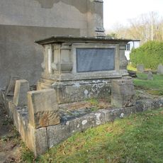
Launder Tomb Immediately South Of Chancel Of Church Of St Michael And All Angels
3.8 km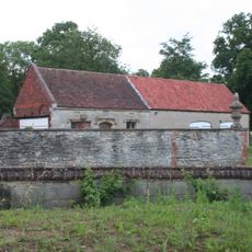
Wall with urn and orb in the grounds of Staunton Hall, 9 feet from garage
4.2 km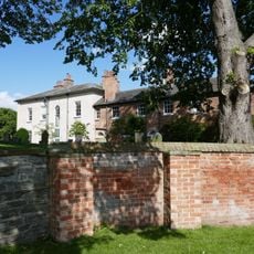
Hawksworth Place And Adjoining Garden Walls
1.5 kmVous avez visité ce lieu ? Touchez les étoiles pour le noter et partager votre expérience ou vos photos avec la communauté ! Essayez maintenant ! Vous pouvez annuler à tout moment.
Trouvez des trésors cachés à chaque coin de rue !
Des petits cafés pittoresques aux points de vue planqués, fuyez la foule et dénichez les lieux qui vous ressemblent vraiment. Notre app vous facilite la vie : recherche vocale, filtres malins, itinéraires optimisés et bons plans partagés par des voyageurs du monde entier. Téléchargez vite pour vivre l'aventure en version mobile !

Une approche inédite de la découverte touristique❞
— Le Figaro
Tous les lieux qui valent la peine d'être explorés❞
— France Info
Une excursion sur mesure en quelques clics❞
— 20 Minutes