
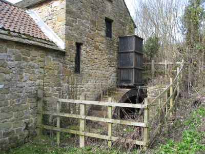
Fallgate Mill, Grade II listed watermill in Ashover, North East Derbyshire, Derbyshire, UK
Emplacement : Ashover
Coordonnées GPS : 53.15646,-1.47188
Dernière mise à jour : 3 juin 2025 à 11:06
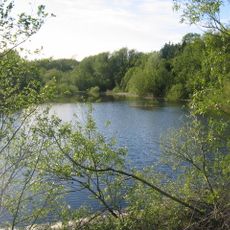
Ogston Reservoir
3.1 km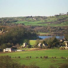
Ogston Hall
3.5 km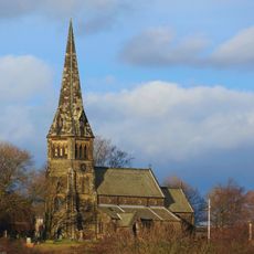
St Bartholomew’s Church, Clay Cross
3.9 km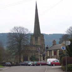
Church of All Saints
1 km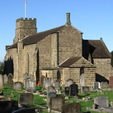
Holy Trinity Church, Tansley
3.9 km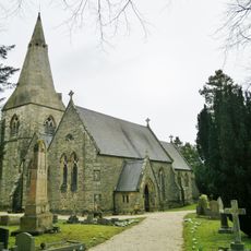
Holy Trinity Church
3.8 km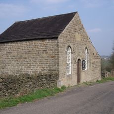
Ashover Hay Primitive Methodist Chapel
1.2 km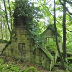
Ruins of Trinity Chapel
3 km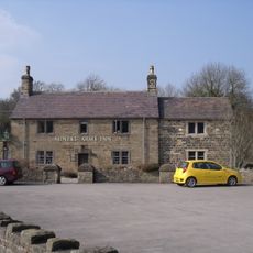
The Miners Arms Public House
551 m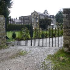
Overton Hall and attached outbuildings
760 m
Dale Cottage Farmhouse
878 m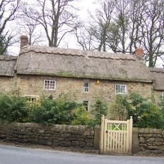
Stubben Edge Cottage
838 m
Clattercotes Farmhouse
2 km
West Bank, attached wall and gate piers, and attached outbuilding to south
921 m
K6 telephone kiosk north of West Bank
932 m
High Ashes Farmhouse
3.8 km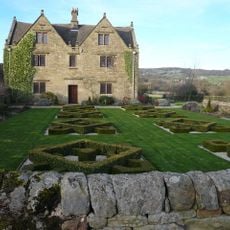
Raven House
1.1 km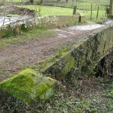
Footbridge
826 m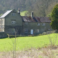
Ravensnest and attached farm buildings Ravensnest and The Beeches
915 m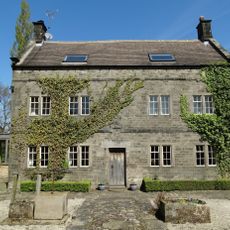
Holmgate House
2.5 km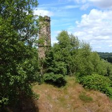
Chimney at Ravensnest
1 km
Outbuilding to the south of Clattercotes Farmhouse
2 km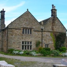
Manor House Farmhouse
3.6 km
Pound to the south of the Miners Arms
599 m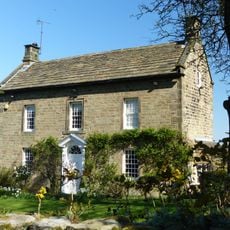
West View
1.3 km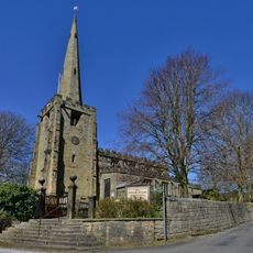
Gatepiers And Steps To The South Of Church Of All Saints
982 m
Three Bridges At Smithymoor Nr Stretton Station
3.4 km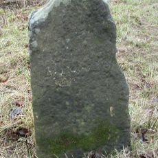
Milestone, Chesterfield Road; opp. Matlock Golf Club
3.9 kmAvis
Vous avez visité ce lieu ? Touchez les étoiles pour le noter et partager votre expérience ou vos photos avec la communauté ! Essayez maintenant ! Vous pouvez annuler à tout moment.
Trouvez des trésors cachés à chaque coin de rue !
Des petits cafés pittoresques aux points de vue planqués, fuyez la foule et dénichez les lieux qui vous ressemblent vraiment. Notre app vous facilite la vie : recherche vocale, filtres malins, itinéraires optimisés et bons plans partagés par des voyageurs du monde entier. Téléchargez vite pour vivre l'aventure en version mobile !

Une approche inédite de la découverte touristique❞
— Le Figaro
Tous les lieux qui valent la peine d'être explorés❞
— France Info
Une excursion sur mesure en quelques clics❞
— 20 Minutes