
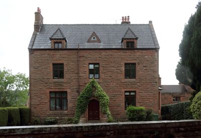
Dawpool Farmhouse, farmhouse in Wirral, Merseyside, UK
Emplacement : Wirral
Coordonnées GPS : 53.34941,-3.13397
Dernière mise à jour : 14 mars 2025 à 16:53
Wirral Country Park
1.1 km
Thurstaston Common
626 m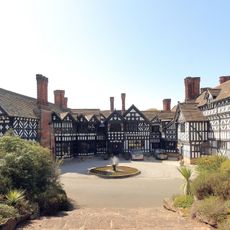
Hill Bark
1.6 km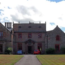
Thurstaston Hall
157 m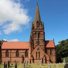
St. Bartholomew's Church, Thurstaston
161 m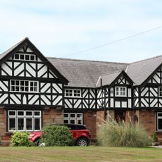
Irby Hall
983 m
Church of the Resurrection and All Saints, Caldy
2.2 km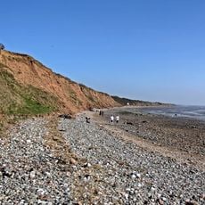
Dee Cliffs
1.3 km
Cleaver Heath Nature Reserve
2.2 km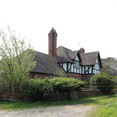
Hill Bark Farmhouse
1.7 km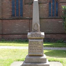
Thurstaston War Memorial
141 m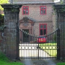
Gatepiers To North Of Thurstaston Hall
117 m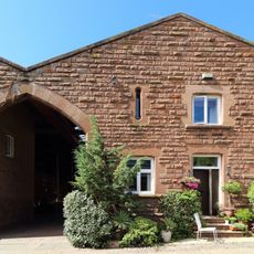
Barn To Dawpool Farm, To West Of Other Buildings Granary To Dawpool Farm, To West Of Other Buildings
88 m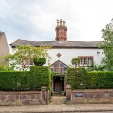
Manor Farmhouse
2.2 km
Banks Farmhouse, Caldy
2.2 km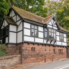
Church Hall
2.2 km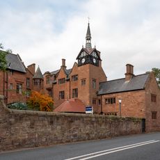
Caldy Manor
2.3 km
Dee Haven
2.2 km
Cattle Sheds Incorporating Smithy And Implement Shed At Dawpool Farm
91 m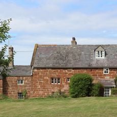
Oldfield Farmhouse
1.7 km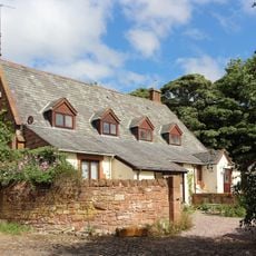
Former Thurstaston School
55 m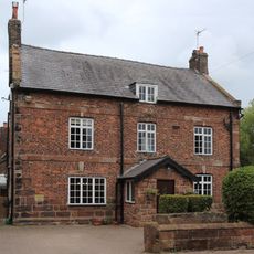
Irby Farmhouse
1.1 km
South Lodge with Attached Gates and Gate Piers
49 m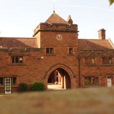
The Clock Tower
34 m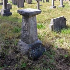
Sundial approximately 40 metres to south of St Bartholomew's Church
199 m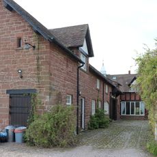
Outbuildings at Hill Bark Farm
1.7 km
96, Caldy Road
2.2 km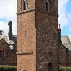
Tower of former church of St Bartholomew
172 mVous avez visité ce lieu ? Touchez les étoiles pour le noter et partager votre expérience ou vos photos avec la communauté ! Essayez maintenant ! Vous pouvez annuler à tout moment.
Trouvez des trésors cachés à chaque coin de rue !
Des petits cafés pittoresques aux points de vue planqués, fuyez la foule et dénichez les lieux qui vous ressemblent vraiment. Notre app vous facilite la vie : recherche vocale, filtres malins, itinéraires optimisés et bons plans partagés par des voyageurs du monde entier. Téléchargez vite pour vivre l'aventure en version mobile !

Une approche inédite de la découverte touristique❞
— Le Figaro
Tous les lieux qui valent la peine d'être explorés❞
— France Info
Une excursion sur mesure en quelques clics❞
— 20 Minutes