
Elford House Including Boundary Wall To Street
Elford House Including Boundary Wall To Street, architectural structure in Ferring, Arun, West Sussex, UK
Emplacement : Ferring
Coordonnées GPS : 50.81847,-0.44626
Dernière mise à jour : 28 novembre 2025 à 01:00
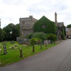
Sterns Nightclub
856 m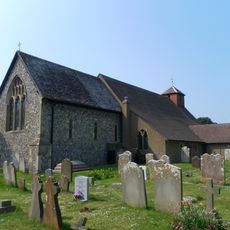
The Parish Church of St Andrew
677 m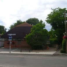
Ferring Library
485 m
Evergreen Cottage Maytree Cottage
620 m
Hangelton Cottage Inglenook
433 m
Bramble Cottage
962 m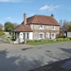
Holly Lodge
634 m
Highdown Hill Camp: A Ram's Hill type enclosure, an Anglo-Saxon cemetery and associated remains
1.1 km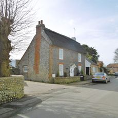
The Ramblers
652 m
Wall To Former Orchard North Of Goring Hall
1.3 km
Smugglers Cottage
606 m
Home Farm House Home Farm Lodge
732 m
Yew Tree Cottage
560 m
North Barn (Range Of Outbuildings On East Side Of Yard)
866 m
Rose Cottage
345 m
North Barn (Main Block) Including Wall Across The South, Bounding The Road
837 m
The Bull Inn
1.1 km
The Old Barn
683 m
North Hangelton South Hangelton
467 m
Clematis Cottage Jasmine Cottage
267 m
3A Ferring Street
597 m
Landalls Vine Cottage
317 m
East Ferring House
792 m
Hightiten Barn
1.2 km
Highdown Hill Camp
1.1 km
Church Cottage
634 m
Home Farm Cottage
787 m
The Cottage
1.2 kmAvis
Vous avez visité ce lieu ? Touchez les étoiles pour le noter et partager votre expérience ou vos photos avec la communauté ! Essayez maintenant ! Vous pouvez annuler à tout moment.
Trouvez des trésors cachés à chaque coin de rue !
Des petits cafés pittoresques aux points de vue planqués, fuyez la foule et dénichez les lieux qui vous ressemblent vraiment. Notre app vous facilite la vie : recherche vocale, filtres malins, itinéraires optimisés et bons plans partagés par des voyageurs du monde entier. Téléchargez vite pour vivre l'aventure en version mobile !

Une approche inédite de la découverte touristique❞
— Le Figaro
Tous les lieux qui valent la peine d'être explorés❞
— France Info
Une excursion sur mesure en quelques clics❞
— 20 Minutes