
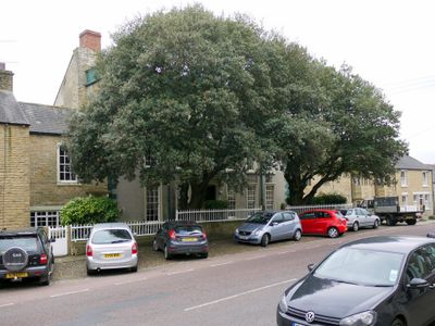
Whitfield House Cottage, cottage in Wolsingham, County Durham, UK
Emplacement : Wolsingham
Coordonnées GPS : 54.72974,-1.88573
Dernière mise à jour : 16 juin 2025 à 19:04
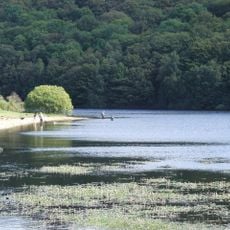
Backstone Bank and Baal Hill Woods
3.5 km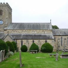
Church of St Mary and St Stephen
220 m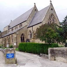
Church of St Thomas of Canterbury
273 m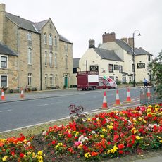
Former Primitive Methodist Chapel
166 m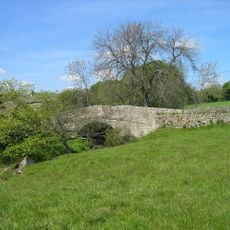
Bradley Burn Bridge
3.3 km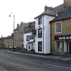
Black Bull Public House
156 m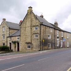
Old Bank House
105 m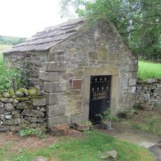
Holy Well West Of Holywell Farmhouse
715 m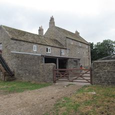
Baal Hill House Farmhouse
1.4 km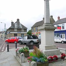
Wolsingham War Memorial
135 m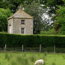
Gazebo/dovecote in garden of Bishop Oak
2.1 km
Bishop Oak
2.1 km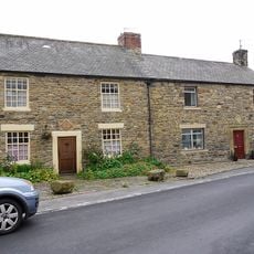
8, Meadhope Street
257 m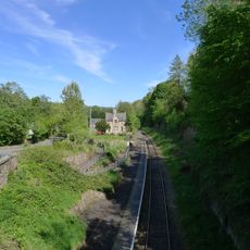
Former Railway Station
388 m
Bombay House
174 m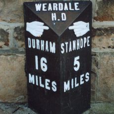
Milestone In Front Of Number 12
160 m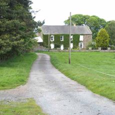
Castle Hill Farmhouse
2.3 km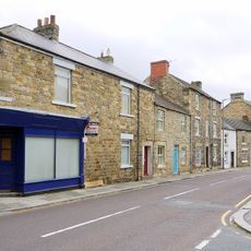
Rivendell
312 m
Gate Piers, Gates And Retaining Walls To Church Of St Mary And St Stephen
193 m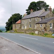
Little Redgate Farmhouse
1.3 km
Holywell Farmhouse, Byre And Carthouse
717 m
Whitfield House
11 m
Bradley Hall Farmhouse
3.5 km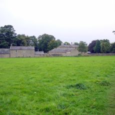
Demesne Hall
181 m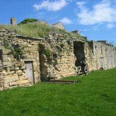
Bradley Hall fortified house and underground passages, moated site, pillow mound and fishponds
3.5 km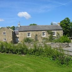
Bradley Burn Farmhouse
3.2 km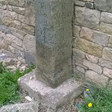
Milestone, Redgate, N end of stone cottage wall
1.3 km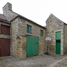
Former Chapel And Buildings Adjoining
14 mVous avez visité ce lieu ? Touchez les étoiles pour le noter et partager votre expérience ou vos photos avec la communauté ! Essayez maintenant ! Vous pouvez annuler à tout moment.
Trouvez des trésors cachés à chaque coin de rue !
Des petits cafés pittoresques aux points de vue planqués, fuyez la foule et dénichez les lieux qui vous ressemblent vraiment. Notre app vous facilite la vie : recherche vocale, filtres malins, itinéraires optimisés et bons plans partagés par des voyageurs du monde entier. Téléchargez vite pour vivre l'aventure en version mobile !

Une approche inédite de la découverte touristique❞
— Le Figaro
Tous les lieux qui valent la peine d'être explorés❞
— France Info
Une excursion sur mesure en quelques clics❞
— 20 Minutes